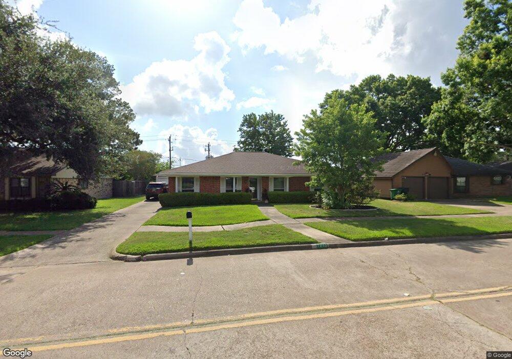
7010 Deep Forest Dr Houston, TX 77088
Greater Inwood NeighborhoodEstimated Value: $220,204 - $239,000
4
Beds
2
Baths
1,959
Sq Ft
$118/Sq Ft
Est. Value
About This Home
This home is located at 7010 Deep Forest Dr, Houston, TX 77088 and is currently estimated at $231,551, approximately $118 per square foot. 7010 Deep Forest Dr is a home located in Harris County with nearby schools including Edward a Vines EC/Pre-K/K School, J. Ruth Smith Elementary, and Hoffman Middle School.
Ownership History
Date
Name
Owned For
Owner Type
Purchase Details
Closed on
Oct 14, 2003
Sold by
First National Bank Of Chicago
Bought by
Metropol Inc
Current Estimated Value
Purchase Details
Closed on
May 10, 1995
Sold by
Mcginnis Michael J and Mcginnis Carole M
Bought by
Dixson Bobby and Dixson Janet
Home Financials for this Owner
Home Financials are based on the most recent Mortgage that was taken out on this home.
Original Mortgage
$62,934
Interest Rate
8.35%
Mortgage Type
FHA
Create a Home Valuation Report for This Property
The Home Valuation Report is an in-depth analysis detailing your home's value as well as a comparison with similar homes in the area
Home Values in the Area
Average Home Value in this Area
Purchase History
| Date | Buyer | Sale Price | Title Company |
|---|---|---|---|
| Metropol Inc | -- | First American Title | |
| Dixson Bobby | -- | -- |
Source: Public Records
Mortgage History
| Date | Status | Borrower | Loan Amount |
|---|---|---|---|
| Previous Owner | Dixson Bobby | $62,934 |
Source: Public Records
Tax History Compared to Growth
Tax History
| Year | Tax Paid | Tax Assessment Tax Assessment Total Assessment is a certain percentage of the fair market value that is determined by local assessors to be the total taxable value of land and additions on the property. | Land | Improvement |
|---|---|---|---|---|
| 2025 | $33 | $219,524 | $37,590 | $181,934 |
| 2024 | $33 | $200,923 | $37,590 | $163,333 |
| 2023 | $33 | $217,879 | $37,590 | $180,289 |
| 2022 | $4,717 | $218,166 | $34,173 | $183,993 |
| 2021 | $4,491 | $187,515 | $21,263 | $166,252 |
| 2020 | $4,290 | $171,039 | $21,263 | $149,776 |
| 2019 | $4,089 | $157,953 | $21,263 | $136,690 |
| 2018 | $811 | $153,465 | $21,263 | $132,202 |
| 2017 | $3,240 | $153,465 | $21,263 | $132,202 |
| 2016 | $2,945 | $119,857 | $21,263 | $98,594 |
| 2015 | $742 | $101,407 | $13,290 | $88,117 |
| 2014 | $742 | $91,750 | $13,290 | $78,460 |
Source: Public Records
Map
Nearby Homes
- 7211 Deep Forest Dr
- 6430 Antoine Dr
- 7606 Victory Dr
- 5622 Sheraton Oaks Dr
- 0 Maple Hill Dr
- 4444 Victory Dr Unit 1311
- 4444 Victory Dr Unit 1108
- 5907 Darkwood Dr
- 5434 Sheraton Oaks Dr
- 5418 Winding Way Dr
- 6202 Wagonwheel Cir
- 6918 Bent Branch Dr
- 6215 Ash Oak Dr
- 6306 1/2 Deihl Rd
- 6203 Oak Bay Dr
- 7526 Antoine Dr
- 6931 Wagonwheel Ln
- 5322 Winding Way Dr
- 5906 Lawn Ln
- 7331 Athlone Dr
- 7006 Deep Forest Dr
- 7014 Deep Forest Dr
- 7002 Deep Forest Dr
- 7018 Deep Forest Dr
- 5902 Black Maple Ln
- 5903 Black Maple Ln
- 7022 Deep Forest Dr
- 5907 Black Maple Ln
- 5906 Black Maple Ln
- 7026 Deep Forest Dr
- 5903 Gum Grove Ln
- 5911 Black Maple Ln
- 5910 Black Maple Ln
- 5907 Gum Grove Ln
- 7030 Deep Forest Dr
- 5915 Black Maple Ln
- 5914 Black Maple Ln
- 5911 Gum Grove Ln
- 5915 Gum Grove Ln
- 5919 Black Maple Ln