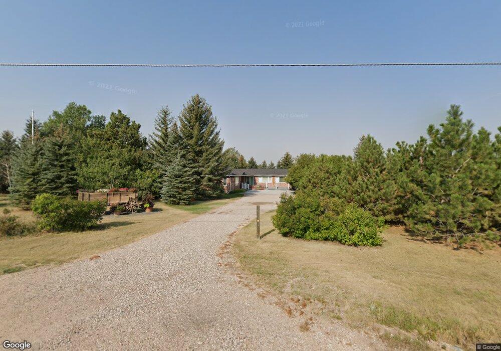
7010 Space Dr Cheyenne, WY 82009
Ranchettes NeighborhoodEstimated Value: $847,000 - $1,130,000
5
Beds
3
Baths
2,817
Sq Ft
$364/Sq Ft
Est. Value
About This Home
This home is located at 7010 Space Dr, Cheyenne, WY 82009 and is currently estimated at $1,024,200, approximately $363 per square foot. 7010 Space Dr is a home located in Laramie County with nearby schools including Hobbs Elementary School, McCormick Junior High School, and Central High School.
Ownership History
Date
Name
Owned For
Owner Type
Purchase Details
Closed on
Jun 5, 2012
Sold by
Hirsch Scott and Basta Jean
Bought by
Basta Jean
Current Estimated Value
Purchase Details
Closed on
Jun 29, 2011
Sold by
Whitman Marcus and Whitman Paige
Bought by
Hirsch Scott and Basta Jean
Home Financials for this Owner
Home Financials are based on the most recent Mortgage that was taken out on this home.
Original Mortgage
$415,625
Outstanding Balance
$287,954
Interest Rate
4.66%
Mortgage Type
New Conventional
Estimated Equity
$736,246
Purchase Details
Closed on
Mar 28, 2007
Sold by
Moe Steven L and Moe Patricia A
Bought by
Whitman Marcus and Whitman Paige
Home Financials for this Owner
Home Financials are based on the most recent Mortgage that was taken out on this home.
Original Mortgage
$363,600
Interest Rate
6.3%
Mortgage Type
Purchase Money Mortgage
Create a Home Valuation Report for This Property
The Home Valuation Report is an in-depth analysis detailing your home's value as well as a comparison with similar homes in the area
Home Values in the Area
Average Home Value in this Area
Purchase History
| Date | Buyer | Sale Price | Title Company |
|---|---|---|---|
| Basta Jean | -- | None Available | |
| Hirsch Scott | -- | None Available | |
| Whitman Marcus | -- | None Available |
Source: Public Records
Mortgage History
| Date | Status | Borrower | Loan Amount |
|---|---|---|---|
| Open | Hirsch Scott | $415,625 | |
| Previous Owner | Whitman Marcus | $363,600 |
Source: Public Records
Tax History
| Year | Tax Paid | Tax Assessment Tax Assessment Total Assessment is a certain percentage of the fair market value that is determined by local assessors to be the total taxable value of land and additions on the property. | Land | Improvement |
|---|---|---|---|---|
| 2025 | $7,562 | $92,001 | $9,305 | $82,696 |
| 2024 | $7,562 | $112,507 | $11,732 | $100,775 |
| 2023 | $6,325 | $108,648 | $11,732 | $96,916 |
| 2022 | $6,325 | $94,156 | $11,732 | $82,424 |
| 2021 | $5,816 | $86,366 | $9,413 | $76,953 |
| 2020 | $5,805 | $86,468 | $9,413 | $77,055 |
| 2019 | $5,315 | $79,092 | $9,413 | $69,679 |
| 2018 | $3,748 | $56,346 | $6,823 | $49,523 |
| 2017 | $3,637 | $54,148 | $6,611 | $47,537 |
| 2016 | $3,514 | $52,291 | $6,398 | $45,893 |
| 2015 | $3,449 | $51,296 | $6,398 | $44,898 |
| 2014 | $3,452 | $50,999 | $6,398 | $44,601 |
Source: Public Records
Map
Nearby Homes
- Lot 15 Buckskin Trail
- 1214 Alyssa Way
- 6712 Big Sky Trail
- 1226 Wendy Ln
- 6800 Brave Ct
- 7119 Legacy Pkwy
- 926 Miracle Pkwy
- 5702 Mica Bluff
- 918 Storey Blvd
- 5733 Sycamore Rd
- 7120 Pasadena Rd
- 1205 E Carlson St
- 2434 Foothills Rd
- 7415 Windsor Blvd
- 2544 Levi Rd
- 2332 Pattison Ave
- 7017 Willshire Blvd
- 6021 Blue Bluff
- 713 Gabriel Ct
- 7413 Willshire Blvd
- 1910 Eagle Dr
- 1811 Eagle Dr
- 1740 Eagle Dr
- 1913 Eagle Dr
- 6720 Space Dr
- 1930 Eagle Dr
- 2025 Columbia Dr
- 1725 Eagle Dr
- 7221 Space Dr
- 1710 Eagle Dr
- 1935 Eagle Dr
- 1803 Columbia Dr
- 2035 Columbia Dr
- 1739 Columbia Dr
- 2008 Eagle Dr
- 7211 Astronaut Dr
- 2005 Eagle Dr
- 2030 Columbia Dr
- 1810 Columbia Dr
- 7313 Space Dr
Your Personal Tour Guide
Ask me questions while you tour the home.