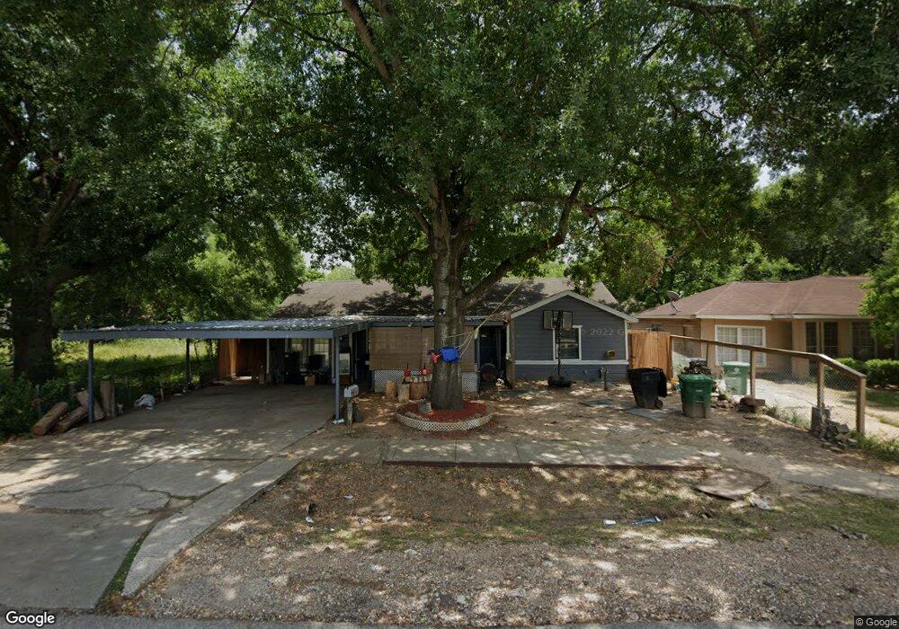
7011 Sherwood Dr Houston, TX 77021
OST-South Union NeighborhoodEstimated Value: $181,797 - $205,000
3
Beds
1
Bath
1,309
Sq Ft
$148/Sq Ft
Est. Value
About This Home
This home is located at 7011 Sherwood Dr, Houston, TX 77021 and is currently estimated at $193,949, approximately $148 per square foot. 7011 Sherwood Dr is a home located in Harris County with nearby schools including Marcellus Elliot Foster Elementary, Cullen Middle School, and Yates High School.
Ownership History
Date
Name
Owned For
Owner Type
Purchase Details
Closed on
Sep 25, 2024
Sold by
Perez Gabriel Hernandez and Vazquez Ma Juana
Bought by
Garcia Maria Del Rosario
Current Estimated Value
Purchase Details
Closed on
Jan 6, 2020
Sold by
Busby Charlotte Anne
Bought by
Perez Gabriel Hernandez and Vazquez Ma Juana Rangel
Purchase Details
Closed on
Dec 8, 2010
Sold by
Texas Real Estate Developments Inc
Bought by
Busby Charlotte
Purchase Details
Closed on
Apr 4, 2001
Sold by
Campbell Jerrleen P
Bought by
Texas Real Estate Developments Inc
Create a Home Valuation Report for This Property
The Home Valuation Report is an in-depth analysis detailing your home's value as well as a comparison with similar homes in the area
Home Values in the Area
Average Home Value in this Area
Purchase History
| Date | Buyer | Sale Price | Title Company |
|---|---|---|---|
| Garcia Maria Del Rosario | -- | None Listed On Document | |
| Perez Gabriel Hernandez | -- | None Available | |
| Busby Charlotte | -- | Fth | |
| Texas Real Estate Developments Inc | -- | Regency Title Company |
Source: Public Records
Tax History Compared to Growth
Tax History
| Year | Tax Paid | Tax Assessment Tax Assessment Total Assessment is a certain percentage of the fair market value that is determined by local assessors to be the total taxable value of land and additions on the property. | Land | Improvement |
|---|---|---|---|---|
| 2025 | $2,929 | $139,157 | $114,500 | $24,657 |
| 2024 | $2,929 | $139,961 | $114,500 | $25,461 |
| 2023 | $2,929 | $147,820 | $103,050 | $44,770 |
| 2022 | $2,801 | $127,226 | $80,150 | $47,076 |
| 2021 | $2,342 | $100,504 | $51,525 | $48,979 |
| 2020 | $1,597 | $65,952 | $34,350 | $31,602 |
| 2019 | $1,524 | $60,227 | $28,625 | $31,602 |
| 2018 | $1,107 | $43,756 | $20,038 | $23,718 |
| 2017 | $867 | $34,289 | $14,313 | $19,976 |
| 2016 | $867 | $34,289 | $14,313 | $19,976 |
| 2015 | $781 | $29,456 | $14,313 | $15,143 |
| 2014 | $781 | $30,390 | $14,313 | $16,077 |
Source: Public Records
Map
Nearby Homes
- 7012 Saint Augustine St
- 7014 Saint Augustine St
- 7005 Saint Augustine St Unit A/B
- 7004 Conley St
- 7016 Conley St
- 7108 Saint Augustine St
- 7109 Saint Augustine St
- 6807 Saint Augustine St
- 7117 Saint Augustine St
- 6908 England St
- 6906 England St
- 4616 Ward St
- 4405 Ward St
- 4510 Ward St
- 4508 Ward St
- 4110 Ward St
- 6809 Conley St Unit C
- 6725 Saint Augustine St
- 6719 Saint Augustine St
- 4019 Ward St
- 7015 Sherwood Dr
- 7007 Sherwood Dr
- 7008 Saint Augustine St
- 7003 Sherwood Dr
- 7019 Sherwood Dr
- 7016 Saint Augustine St
- 7004 Saint Augustine St
- 3947 Southlawn St
- 7000 Saint Augustine St
- 7002 Sherwood Dr
- 7023 Sherwood Dr
- 7024 Saint Augustine St
- 3943 Southlawn St
- 3942 Alice St
- 4106 Alice St
- 3946 Southlawn St
- 7027 Sherwood Dr
- 7028 Saint Augustine St
- 4102 Alice St
- 4104 Alice St