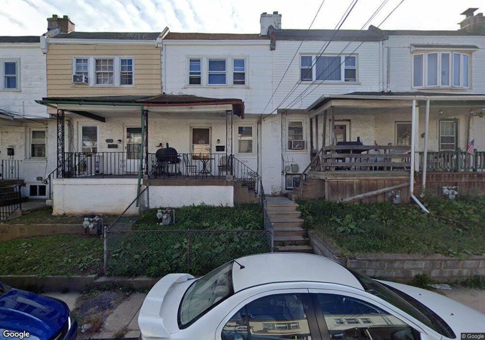
7012 Emerson Ave Upper Darby, PA 19082
Estimated Value: $113,000 - $128,000
2
Beds
1
Bath
928
Sq Ft
$132/Sq Ft
Est. Value
About This Home
This home is located at 7012 Emerson Ave, Upper Darby, PA 19082 and is currently estimated at $122,814, approximately $132 per square foot. 7012 Emerson Ave is a home located in Delaware County with nearby schools including Upper Darby Kdg Center, Upper Darby High School, and KIPP West Philadelphia Preparatory Chart.
Ownership History
Date
Name
Owned For
Owner Type
Purchase Details
Closed on
Oct 30, 1998
Sold by
Gentile Paul G and Gentile Donna K
Bought by
Coleman Patricia M
Current Estimated Value
Home Financials for this Owner
Home Financials are based on the most recent Mortgage that was taken out on this home.
Original Mortgage
$28,000
Interest Rate
6.3%
Mortgage Type
Balloon
Create a Home Valuation Report for This Property
The Home Valuation Report is an in-depth analysis detailing your home's value as well as a comparison with similar homes in the area
Home Values in the Area
Average Home Value in this Area
Purchase History
| Date | Buyer | Sale Price | Title Company |
|---|---|---|---|
| Coleman Patricia M | $35,000 | Commonwealth Land Title Ins |
Source: Public Records
Mortgage History
| Date | Status | Borrower | Loan Amount |
|---|---|---|---|
| Closed | Coleman Patricia M | $28,000 |
Source: Public Records
Tax History Compared to Growth
Tax History
| Year | Tax Paid | Tax Assessment Tax Assessment Total Assessment is a certain percentage of the fair market value that is determined by local assessors to be the total taxable value of land and additions on the property. | Land | Improvement |
|---|---|---|---|---|
| 2025 | $2,463 | $58,240 | $13,450 | $44,790 |
| 2024 | $2,463 | $58,240 | $13,450 | $44,790 |
| 2023 | $2,440 | $58,240 | $13,450 | $44,790 |
| 2022 | $2,374 | $58,240 | $13,450 | $44,790 |
| 2021 | $3,201 | $58,240 | $13,450 | $44,790 |
| 2020 | $2,390 | $36,940 | $12,230 | $24,710 |
| 2019 | $2,348 | $36,940 | $12,230 | $24,710 |
| 2018 | $2,321 | $36,940 | $0 | $0 |
| 2017 | $2,260 | $36,940 | $0 | $0 |
| 2016 | $203 | $36,940 | $0 | $0 |
| 2015 | $203 | $36,940 | $0 | $0 |
| 2014 | $203 | $36,940 | $0 | $0 |
Source: Public Records
Map
Nearby Homes
- 7026 Atlantic Ave
- 7123 Seaford Rd
- 121 Beverly Ave
- 7000 Greenwood Ave
- 6858 Clover Ln
- 6982 Clinton Rd
- 7162 Radbourne Rd
- 7155 Radbourne Rd
- 711 Pembroke Ave
- 703 Briarcliff Rd
- 669 Long Ln
- 608 Pembroke Ave
- 607 Littlecroft Rd
- 607 Briarcliff Rd
- 213 1/2 Melrose Ave
- 525 Wiltshire Rd
- 517 Wiltshire Rd
- 7139 Guilford Rd
- 6212 Ellsworth St
- 6230 Carpenter St
- 7014 Emerson Ave
- 7010 Emerson Ave
- 7016 Emerson Ave
- 7008 Emerson Ave
- 7018 Emerson Ave
- 7006 Emerson Ave
- 7009 Atlantic Ave
- 7011 Atlantic Ave
- 7007 Atlantic Ave
- 7020 Emerson Ave
- 7004 Emerson Ave
- 7013 Atlantic Ave
- 7005 Atlantic Ave
- 7015 Atlantic Ave
- 7003 Atlantic Ave
- 7002 Emerson Ave
- 7022 Emerson Ave
- 7017 Atlantic Ave
- 7001 Atlantic Ave
- 7000 Emerson Ave