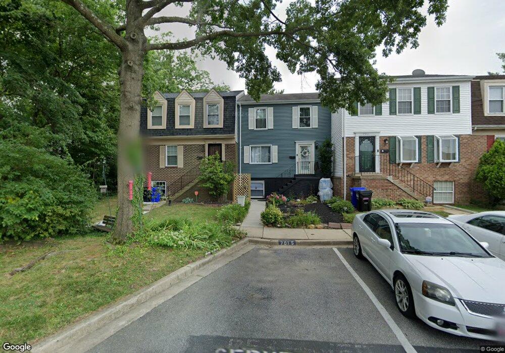
7013 Scotch Dr Laurel, MD 20707
Estimated Value: $323,095 - $338,000
Studio
3
Baths
1,176
Sq Ft
$282/Sq Ft
Est. Value
About This Home
This home is located at 7013 Scotch Dr, Laurel, MD 20707 and is currently estimated at $332,024, approximately $282 per square foot. 7013 Scotch Dr is a home located in Prince George's County with nearby schools including Scotchtown Hills Elementary School, Dwight D. Eisenhower Middle School, and Laurel High School.
Ownership History
Date
Name
Owned For
Owner Type
Purchase Details
Closed on
Apr 9, 2019
Sold by
Cater Mary and Cater Robert Baden
Bought by
Cater Mary and Davis Emma Marie
Current Estimated Value
Purchase Details
Closed on
Mar 9, 1994
Sold by
Vaszil Frank J
Bought by
Cater Robert B
Home Financials for this Owner
Home Financials are based on the most recent Mortgage that was taken out on this home.
Original Mortgage
$111,150
Interest Rate
6.93%
Purchase Details
Closed on
Dec 2, 1980
Sold by
Plaid & Scotch Inc
Bought by
Vaszil Frank J and Vaszil Olga P
Create a Home Valuation Report for This Property
The Home Valuation Report is an in-depth analysis detailing your home's value as well as a comparison with similar homes in the area
Home Values in the Area
Average Home Value in this Area
Purchase History
| Date | Buyer | Sale Price | Title Company |
|---|---|---|---|
| Cater Mary | -- | None Available | |
| Cater Robert B | $117,000 | -- | |
| Vaszil Frank J | $64,000 | -- |
Source: Public Records
Mortgage History
| Date | Status | Borrower | Loan Amount |
|---|---|---|---|
| Closed | Cater Robert B | $111,150 |
Source: Public Records
Tax History
| Year | Tax Paid | Tax Assessment Tax Assessment Total Assessment is a certain percentage of the fair market value that is determined by local assessors to be the total taxable value of land and additions on the property. | Land | Improvement |
|---|---|---|---|---|
| 2025 | $4,304 | $304,300 | $90,000 | $214,300 |
| 2024 | $4,304 | $288,000 | -- | -- |
| 2023 | $4,480 | $271,700 | $0 | $0 |
| 2022 | $3,834 | $255,400 | $75,000 | $180,400 |
| 2021 | $3,615 | $240,967 | $0 | $0 |
| 2020 | $0 | $226,533 | $0 | $0 |
| 2019 | $4,155 | $212,100 | $75,000 | $137,100 |
| 2018 | $0 | $198,633 | $0 | $0 |
| 2017 | $2,861 | $185,167 | $0 | $0 |
| 2016 | -- | $171,700 | $0 | $0 |
| 2015 | $2,832 | $166,400 | $0 | $0 |
| 2014 | $2,832 | $161,100 | $0 | $0 |
Source: Public Records
Map
Nearby Homes
- 7012 Scotch Dr
- 7002 Scotch Dr
- 6915 Scotch Dr
- 6918 Scotch Dr
- 15800 Kerr Rd
- 7019 Fitzpatrick Dr
- 15712 Dorset Rd Unit 104
- 7600 Lord Snowden Cir
- 15708 Dorset Rd Unit 202
- 7103 Split Rail Ln
- 15706 Dorset Rd Unit 102
- 15603 Dorset Rd Unit 101
- 16100 Malcolm Dr
- 15743 Millbrook Ln
- 6504 Walker Branch Dr
- 15709 Bond Mill Rd
- 7106 Donston Dr
- 7651 E Arbory Ct
- 7208 Cherry Ln
- 6502 Old Sandy Spring Rd
- 7011 Scotch Dr
- 7015 Scotch Dr
- 7009 Scotch Dr
- 7007 Scotch Dr
- 15509 Plaid Dr
- 15511 Plaid Dr
- 15507 Plaid Dr
- 7005 Scotch Dr
- 15513 Plaid Dr
- 15505 Plaid Dr
- 15610 Carriage Hill Ln
- 7003 Scotch Dr
- 7100 Old Sandy Spring Rd
- 15503 Plaid Dr
- 7100 Sandy Spring Rd
- 15612 Carriage Hill Ln
- 15501 Plaid Dr
- 7010 Scotch Dr
- 7014 Scotch Dr
- 7012 Scotch Dr
Your Personal Tour Guide
Ask me questions while you tour the home.