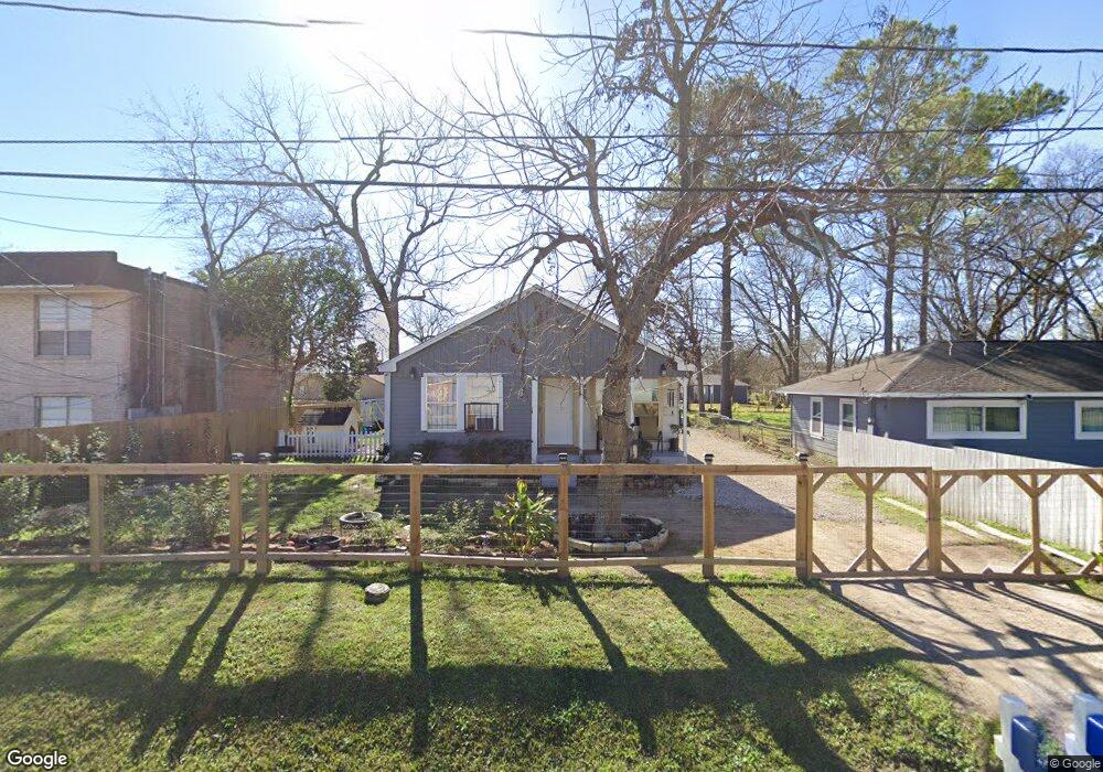
7014 Landor St Houston, TX 77028
Trinity-Houston Gardens NeighborhoodEstimated Value: $163,000 - $188,000
2
Beds
1
Bath
1,132
Sq Ft
$155/Sq Ft
Est. Value
About This Home
This home is located at 7014 Landor St, Houston, TX 77028 and is currently estimated at $175,150, approximately $154 per square foot. 7014 Landor St is a home located in Harris County with nearby schools including McGowen Elementary School, Key Middle, and Kashmere High School.
Ownership History
Date
Name
Owned For
Owner Type
Purchase Details
Closed on
May 29, 2018
Sold by
Sunwest Trust and Rambo Daphne A
Bought by
Mejia Yvonne and Herrera Edil Isaias Mejia
Current Estimated Value
Purchase Details
Closed on
Apr 5, 2018
Sold by
Chandler Diane
Bought by
Rambo Daphne A and Sunwest Trust
Create a Home Valuation Report for This Property
The Home Valuation Report is an in-depth analysis detailing your home's value as well as a comparison with similar homes in the area
Home Values in the Area
Average Home Value in this Area
Purchase History
| Date | Buyer | Sale Price | Title Company |
|---|---|---|---|
| Mejia Yvonne | -- | None Available | |
| Rambo Daphne A | -- | None Available |
Source: Public Records
Mortgage History
| Date | Status | Borrower | Loan Amount |
|---|---|---|---|
| Closed | Mejia Yvonne | $0 |
Source: Public Records
Tax History Compared to Growth
Tax History
| Year | Tax Paid | Tax Assessment Tax Assessment Total Assessment is a certain percentage of the fair market value that is determined by local assessors to be the total taxable value of land and additions on the property. | Land | Improvement |
|---|---|---|---|---|
| 2025 | $3,374 | $165,682 | $61,344 | $104,338 |
| 2024 | $3,374 | $161,274 | $61,344 | $99,930 |
| 2023 | $3,374 | $104,056 | $51,840 | $52,216 |
| 2022 | $1,783 | $80,995 | $34,560 | $46,435 |
| 2021 | $1,637 | $70,234 | $19,440 | $50,794 |
| 2020 | $1,499 | $61,915 | $19,440 | $42,475 |
| 2019 | $970 | $38,328 | $12,960 | $25,368 |
| 2018 | $970 | $38,328 | $12,960 | $25,368 |
| 2017 | $969 | $38,328 | $12,960 | $25,368 |
| 2016 | $969 | $38,328 | $12,960 | $25,368 |
| 2015 | $1,483 | $38,328 | $12,960 | $25,368 |
| 2014 | $1,483 | $57,681 | $12,960 | $44,721 |
Source: Public Records
Map
Nearby Homes
- 0 Kittridge
- 6911 Finch St
- 6907 Finch St
- 6909 Kittridge St
- 0 Landor
- 6908 Larkstone St
- 7204 Homestead Rd
- 7140 Orville St
- 6729 Kittridge St
- 6714 E Crosstimbers
- 6842 Carothers St
- 6838 Carothers St
- 6719 Roanoke St
- 6705 Roanoke St
- 6606 Weaver Rd
- 6601 Landor St
- 7309 Orville St
- 0 Shreveport Blvd
- 7100 W Knoll St
- 7010 S Hall St
- 7010 Landor St
- 7417 Homestead Rd Unit 6
- 7417 Homestead Rd Unit 2
- 7417 Homestead Rd
- 7413 Homestead Rd
- 7006 Landor St
- 7011 Finch St
- 7005 Landor St
- 7401 Homestead Rd
- 7009 Finch St
- 7005 Finch St
- 7002 Landor St
- 7001 Landor St
- 6942 Landor St
- 7001 Finch St
- 6938 Landor St
- 6939 Landor St
- 6941 Finch St
- 5615 Finch St
- 6935 Landor St