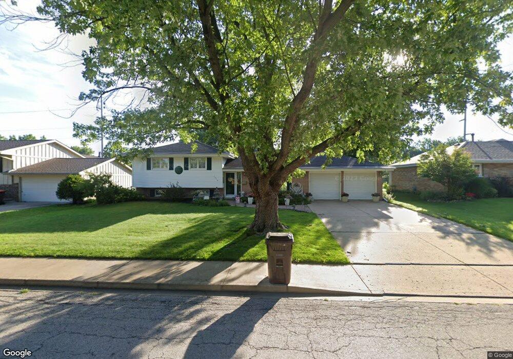
7014 N Manning Dr Peoria, IL 61614
North Peoria NeighborhoodEstimated Value: $175,621 - $241,000
3
Beds
2
Baths
1,788
Sq Ft
$122/Sq Ft
Est. Value
About This Home
This home is located at 7014 N Manning Dr, Peoria, IL 61614 and is currently estimated at $218,905, approximately $122 per square foot. 7014 N Manning Dr is a home located in Peoria County with nearby schools including Kellar Primary School, Liberty Leadership Middle School, and Richwoods High School.
Ownership History
Date
Name
Owned For
Owner Type
Purchase Details
Closed on
Jul 14, 2017
Sold by
Jones Joan L and Jones Larry D
Bought by
Hayes William L and Hayes Karen M
Current Estimated Value
Purchase Details
Closed on
Jul 7, 2017
Sold by
Jones Joan L and Jones Larry D
Bought by
Hayes William L and Hayes Karen M
Purchase Details
Closed on
Dec 14, 2011
Bought by
Neff William E and Neff Sharon K
Create a Home Valuation Report for This Property
The Home Valuation Report is an in-depth analysis detailing your home's value as well as a comparison with similar homes in the area
Home Values in the Area
Average Home Value in this Area
Purchase History
| Date | Buyer | Sale Price | Title Company |
|---|---|---|---|
| Hayes William L | -- | Attorney Only | |
| Hayes William L | -- | Attorney Only | |
| Neff William E | $159,000 | -- |
Source: Public Records
Tax History Compared to Growth
Tax History
| Year | Tax Paid | Tax Assessment Tax Assessment Total Assessment is a certain percentage of the fair market value that is determined by local assessors to be the total taxable value of land and additions on the property. | Land | Improvement |
|---|---|---|---|---|
| 2024 | $4,544 | $58,240 | $10,250 | $47,990 |
| 2023 | $4,274 | $53,430 | $9,400 | $44,030 |
| 2022 | $3,898 | $48,410 | $8,760 | $39,650 |
| 2021 | $3,788 | $46,100 | $8,340 | $37,760 |
| 2020 | $3,773 | $45,650 | $8,260 | $37,390 |
| 2019 | $3,843 | $46,580 | $8,430 | $38,150 |
| 2018 | $3,781 | $46,820 | $8,510 | $38,310 |
| 2017 | $4,560 | $47,300 | $8,600 | $38,700 |
| 2016 | $4,433 | $47,300 | $8,600 | $38,700 |
| 2015 | $4,198 | $46,370 | $8,430 | $37,940 |
| 2014 | $4,198 | $45,600 | $8,240 | $37,360 |
| 2013 | -- | $46,150 | $8,340 | $37,810 |
Source: Public Records
Map
Nearby Homes
- 7015 N Knoxville Ave
- 6936 N Wilshire Dr
- 7408 N Brittany Park Place
- 7408 N Brittany Park Place Unit 8
- 7012 N Tobi Ln
- 7416 N Patton Ln
- 512 W Woodridge Ln
- 7604 N Patton Ln Unit 4
- 6809 N Kimberly Dr
- 936 W Trailcreek Dr Unit 936
- 7606 Walnut Bend Dr
- 7615 Walnut Bend Dr Unit 30
- 1507 W Queens Court Rd
- 202 W Wolf Rd
- 6227 N Sheridan Rd
- 6217 N Knoll Aire Dr
- 468 E High Point Dr
- 6017 N Trenton Ln
- Lot 18 W Woods Edge Dr
- Lot 22 W Woods Edge Dr
- 7018 N Manning Dr
- 7008 N Manning Dr
- 7026 N Manning Dr
- 821 W Teton Dr
- 823 W Teton Dr Unit 823 Teton
- 7017 N Manning Dr
- 909 W Teton Dr
- 7025 N Manning Dr
- 7032 N Manning Dr
- 917 W Teton Dr
- 7025 N Patton Ln
- 7037 N Patton Ln
- 7019 N Patton Ln
- 7029 N Manning Dr
- 1001 W Teton Dr
- 7101 N Patton Ln
- 7102 N Manning Dr
- 7015 N Patton Ln
- 900 W Teton Dr
- 826 W Teton Dr