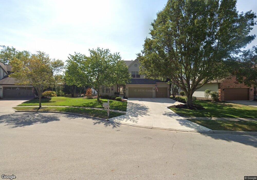
7015 Bromont Place Canal Winchester, OH 43110
Estimated Value: $452,000 - $509,000
4
Beds
4
Baths
2,448
Sq Ft
$194/Sq Ft
Est. Value
About This Home
This home is located at 7015 Bromont Place, Canal Winchester, OH 43110 and is currently estimated at $473,737, approximately $193 per square foot. 7015 Bromont Place is a home located in Franklin County with nearby schools including Winchester Trail Elementary School, Indian Trail Elementary School, and Canal Winchester Middle School.
Ownership History
Date
Name
Owned For
Owner Type
Purchase Details
Closed on
May 14, 2021
Sold by
Given Not
Bought by
Lukezich Stephen J
Current Estimated Value
Purchase Details
Closed on
Jul 15, 1999
Sold by
Homewood Home Inc
Bought by
Lukezich Stephen J
Home Financials for this Owner
Home Financials are based on the most recent Mortgage that was taken out on this home.
Original Mortgage
$185,000
Interest Rate
7.59%
Create a Home Valuation Report for This Property
The Home Valuation Report is an in-depth analysis detailing your home's value as well as a comparison with similar homes in the area
Home Values in the Area
Average Home Value in this Area
Purchase History
| Date | Buyer | Sale Price | Title Company |
|---|---|---|---|
| Lukezich Stephen J | -- | -- | |
| Lukezich Stephen J | $231,600 | Preferred Title Agency Inc |
Source: Public Records
Mortgage History
| Date | Status | Borrower | Loan Amount |
|---|---|---|---|
| Previous Owner | Lukezich Stephen J | $185,000 |
Source: Public Records
Tax History Compared to Growth
Tax History
| Year | Tax Paid | Tax Assessment Tax Assessment Total Assessment is a certain percentage of the fair market value that is determined by local assessors to be the total taxable value of land and additions on the property. | Land | Improvement |
|---|---|---|---|---|
| 2024 | $8,033 | $144,100 | $36,230 | $107,870 |
| 2023 | $7,987 | $144,095 | $36,225 | $107,870 |
| 2022 | $6,550 | $99,650 | $12,600 | $87,050 |
| 2021 | $6,619 | $99,650 | $12,600 | $87,050 |
| 2020 | $6,603 | $99,650 | $12,600 | $87,050 |
| 2019 | $6,453 | $83,160 | $10,500 | $72,660 |
| 2018 | $5,986 | $83,160 | $10,500 | $72,660 |
| 2017 | $5,985 | $83,160 | $10,500 | $72,660 |
| 2016 | $5,635 | $68,470 | $11,310 | $57,160 |
| 2015 | $5,650 | $68,470 | $11,310 | $57,160 |
| 2014 | $5,288 | $68,470 | $11,310 | $57,160 |
| 2013 | $2,751 | $72,065 | $11,900 | $60,165 |
Source: Public Records
Map
Nearby Homes
- 6430 Rossmore Ln
- 6469 Tallman Ct
- 6185 Dietz Dr
- 7191 Rosemount Way
- 6571 Hemmingford Dr
- 7250 Old Creek Ln
- 6558 Hemmingford Dr
- 6216 Meriden Ct
- 6535 Hemmingford Dr
- 7362 Bromfield Dr
- 7265 Bromfield Dr
- 7288 Bromfield Dr
- 525 Gender Rd
- 0 Groveport Rd
- 7412 Connor Ct
- 963 Groveport Rd
- 180 Woodsview Dr
- 216 Washington St
- 185 Groveport Pike Unit 11A
- 185 Groveport Pike Unit 14D
- 7003 Bromont Place
- 7012 Abercorn Place
- 7021 Bromont Place
- 7002 Abercorn Place
- 7022 Abercorn Place
- 7027 Bromont Place
- 7014 Bromont Place
- 7006 Bromont Place
- 7022 Bromont Place
- 6996 Bromont Place
- 6969 Pearce Ln
- 7026 Abercorn Place
- 6965 Pearce Ln
- 6410 Dietz Dr
- 6420 Dietz Dr
- 6398 Dietz Dr
- 6978 Pearce Ln
- 6388 Dietz Dr
- 6430 Dietz Dr
- 7005 Thrush Dr