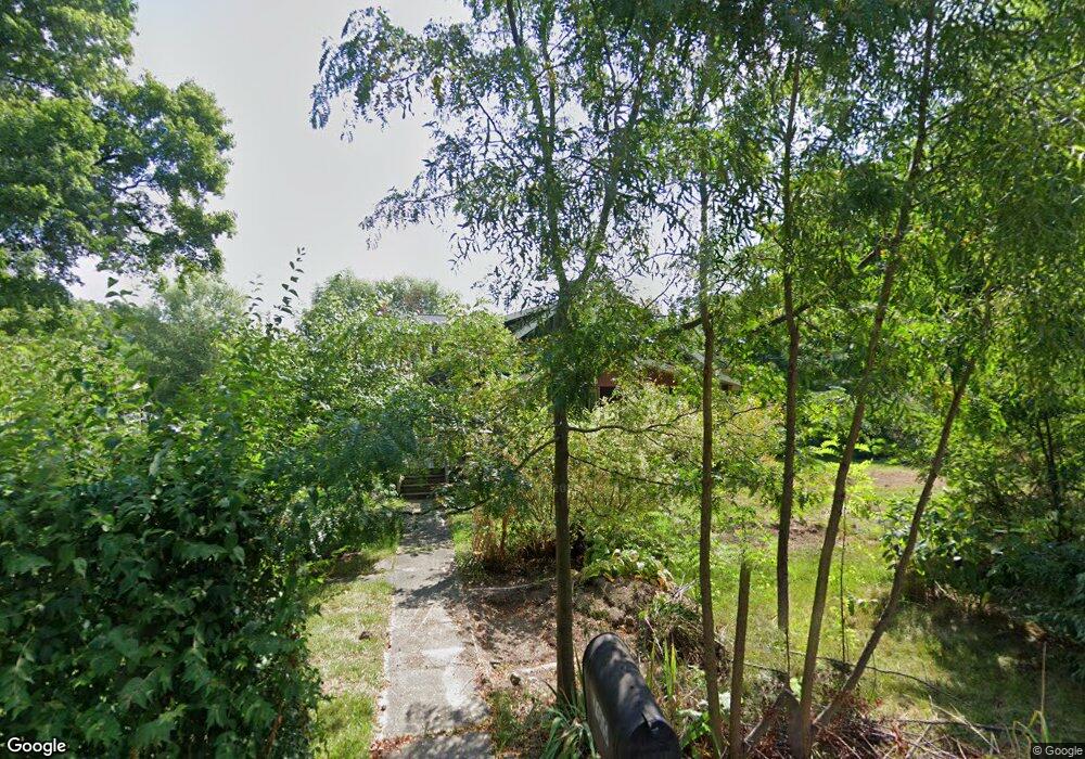
7015 Co Rd 19 Auburn, IN 46706
Estimated Value: $477,000 - $618,371
4
Beds
3
Baths
5,584
Sq Ft
$94/Sq Ft
Est. Value
About This Home
This home is located at 7015 Co Rd 19, Auburn, IN 46706 and is currently estimated at $522,593, approximately $93 per square foot. 7015 Co Rd 19 is a home located in DeKalb County with nearby schools including J.E. Ober Elementary School, Garrett Middle School, and Garrett High School.
Ownership History
Date
Name
Owned For
Owner Type
Purchase Details
Closed on
Aug 13, 2024
Sold by
Willard Melissa A
Bought by
Christiansen Mark A and Christiansen Teresa L
Current Estimated Value
Purchase Details
Closed on
Jul 1, 2024
Sold by
Willard Tristan D and Willard Melissa A
Bought by
Willard Melissa A
Purchase Details
Closed on
Oct 30, 2015
Sold by
Flesher Kurt A and Chambless Flesher Lena A
Bought by
Willard Tristan D and Willard Melissa A
Home Financials for this Owner
Home Financials are based on the most recent Mortgage that was taken out on this home.
Original Mortgage
$224,200
Interest Rate
3.91%
Mortgage Type
New Conventional
Purchase Details
Closed on
Aug 25, 2005
Sold by
Flesher Kenneth J and Flesher Kathleen R
Bought by
Flesher Kurt A and Flesher Lena A Chambless
Create a Home Valuation Report for This Property
The Home Valuation Report is an in-depth analysis detailing your home's value as well as a comparison with similar homes in the area
Home Values in the Area
Average Home Value in this Area
Purchase History
| Date | Buyer | Sale Price | Title Company |
|---|---|---|---|
| Christiansen Mark A | $405,000 | None Listed On Document | |
| Willard Melissa A | -- | Centurion Land Title | |
| Willard Tristan D | -- | Centurion Land Title Inc | |
| Flesher Kurt A | -- | Indiana Title Services |
Source: Public Records
Mortgage History
| Date | Status | Borrower | Loan Amount |
|---|---|---|---|
| Previous Owner | Willard Tristan D | $224,200 |
Source: Public Records
Tax History Compared to Growth
Tax History
| Year | Tax Paid | Tax Assessment Tax Assessment Total Assessment is a certain percentage of the fair market value that is determined by local assessors to be the total taxable value of land and additions on the property. | Land | Improvement |
|---|---|---|---|---|
| 2024 | $2,629 | $367,600 | $73,100 | $294,500 |
| 2023 | $2,380 | $321,600 | $69,600 | $252,000 |
| 2022 | $2,106 | $260,000 | $61,100 | $198,900 |
| 2021 | $1,819 | $227,000 | $58,700 | $168,300 |
| 2020 | $1,768 | $219,600 | $51,200 | $168,400 |
| 2019 | $2,306 | $265,800 | $51,200 | $214,600 |
| 2018 | $2,099 | $234,800 | $45,200 | $189,600 |
| 2017 | $2,087 | $228,100 | $46,200 | $181,900 |
| 2016 | $2,017 | $216,700 | $46,200 | $170,500 |
| 2014 | $1,710 | $199,400 | $46,200 | $153,200 |
Source: Public Records
Map
Nearby Homes
- 2034 County Road 68
- Lot 14 County Road 17
- Lot 13 County Road 17
- Lot 12 County Road 17
- Lot 11 County Road 17
- Lot 10 County Road 17
- Lot 9 County Road 17
- Lot 8 County Road 17
- Lot 7 County Road 17
- Lot 5 County Road 17
- Lot 6 County Road 17
- Lot 4 County Road 17
- Lot 3 County Road 17
- Lot 2 County Road 17
- Lot1 County Road 17
- 19149 Ringo Rd Unit 39
- 5165 Greyson Heights Dr
- 5106 Greyson Heights Dr Unit 27
- 2425 Woodland Trail
- 5962 Deer Hollow Rd
- 7015 County Road 19
- 6994 County Road 19
- 6993 County Road 19
- 7051 County Road 19
- 6961 County Road 19
- 6953 County Road 19
- 19 Cr
- 6973 County Road 19
- 6942 County Road 19
- 7088 County Road 19
- 1986 County Road 68
- 6950 County Road 19
- 2058 County Road 68
- 2073 County Road 68
- 1942 County Road 68
- 7137 County Road 19
- 2025 County Road 68
- 7138 County Road 19
- 7138 County Road 19
- 2075 County Road 68
