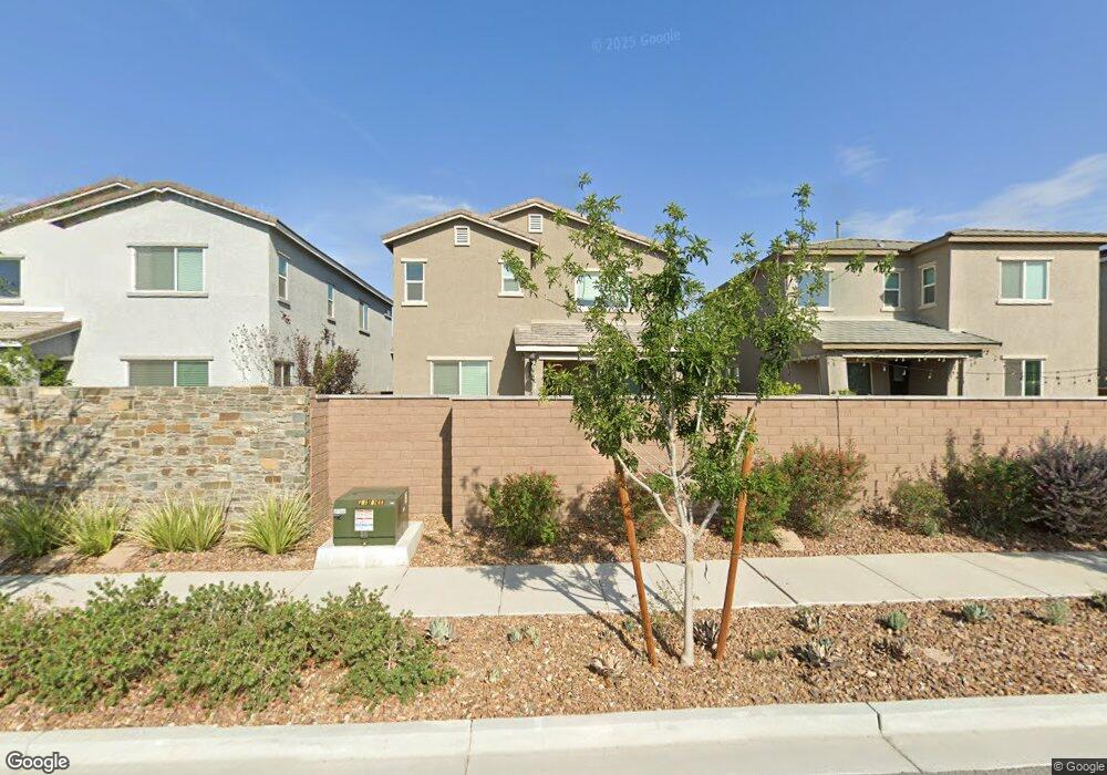
7015 Denio Island St North Las Vegas, NV 89084
Aliante NeighborhoodEstimated Value: $403,138 - $449,000
4
Beds
1
Bath
2,217
Sq Ft
$194/Sq Ft
Est. Value
About This Home
This home is located at 7015 Denio Island St, North Las Vegas, NV 89084 and is currently estimated at $430,785, approximately $194 per square foot. 7015 Denio Island St is a home with nearby schools including Ruby Duncan Elementary School, Don E. Hayden Elementary School, and Brian & Teri Cram Middle School.
Ownership History
Date
Name
Owned For
Owner Type
Purchase Details
Closed on
Jul 24, 2019
Sold by
Greystone Nevada Llc
Bought by
Zacarias Dawn Marie and Belanger Donald Joseph
Current Estimated Value
Home Financials for this Owner
Home Financials are based on the most recent Mortgage that was taken out on this home.
Original Mortgage
$297,719
Outstanding Balance
$267,352
Interest Rate
5.12%
Mortgage Type
FHA
Estimated Equity
$163,433
Purchase Details
Closed on
Mar 20, 2019
Sold by
Standard Pacific Las Vegas
Bought by
Greystone Nevada Llc
Create a Home Valuation Report for This Property
The Home Valuation Report is an in-depth analysis detailing your home's value as well as a comparison with similar homes in the area
Home Values in the Area
Average Home Value in this Area
Purchase History
| Date | Buyer | Sale Price | Title Company |
|---|---|---|---|
| Zacarias Dawn Marie | $303,212 | Calatlantic Title West | |
| Greystone Nevada Llc | $5,541,000 | Calatlantic Title West |
Source: Public Records
Mortgage History
| Date | Status | Borrower | Loan Amount |
|---|---|---|---|
| Open | Zacarias Dawn Marie | $297,719 |
Source: Public Records
Tax History Compared to Growth
Tax History
| Year | Tax Paid | Tax Assessment Tax Assessment Total Assessment is a certain percentage of the fair market value that is determined by local assessors to be the total taxable value of land and additions on the property. | Land | Improvement |
|---|---|---|---|---|
| 2025 | $4,539 | $134,981 | $31,150 | $103,831 |
| 2024 | $4,204 | $134,981 | $31,150 | $103,831 |
| 2023 | $4,204 | $137,101 | $31,850 | $105,251 |
| 2022 | $3,893 | $115,956 | $29,050 | $86,906 |
| 2021 | $3,692 | $109,960 | $25,550 | $84,410 |
| 2020 | $3,470 | $103,459 | $26,250 | $77,209 |
| 2019 | $640 | $21,000 | $21,000 | $0 |
Source: Public Records
Map
Nearby Homes
- 7002 Fossil Rim St
- 7037 Fossil Rim St
- 1544 Karst Pond Ave
- 7050 Fossil Rim St
- 6955 Nash Tracks St
- 7053 Noah Raven St
- 7025 Nash Tracks St
- 1438 Dire Wolf Ave
- 6834 Compass St
- 6923 Desert Finch St
- 1317 Hopespring Loop Ave
- 6943 Desert Finch St
- 6834 Fallen Rock St
- 6841 Fallen Rock St
- 6830 Fallen Rock St
- 1609 Dream Canyon Ave
- 7107 Calvert Cliffs St
- 1212 Crimson Sunbird Ave
- 1208 Crimson Sunbird Ave
- 6837 Empire Cliff St
- 7019 Denio Island St
- 7011 Denio Island St
- 7007 Denio Island St
- 7023 Denio Island St
- 7010 Fossil Rim St
- 7014 Fossil Rim St
- 7006 Fossil Rim St
- 7018 Fossil Rim St
- 7027 Denio Island St
- 7003 Denio Island St
- 7016 Denio Island St
- 7004 Denio Island St
- 7022 Fossil Rim St
- 7020 Denio Island St
- 7012 Denio Island St
- 7024 Denio Island St
- 7008 Denio Island St
- 7026 Fossil Rim St
- 7028 Denio Island St
- 7035 Denio Island St