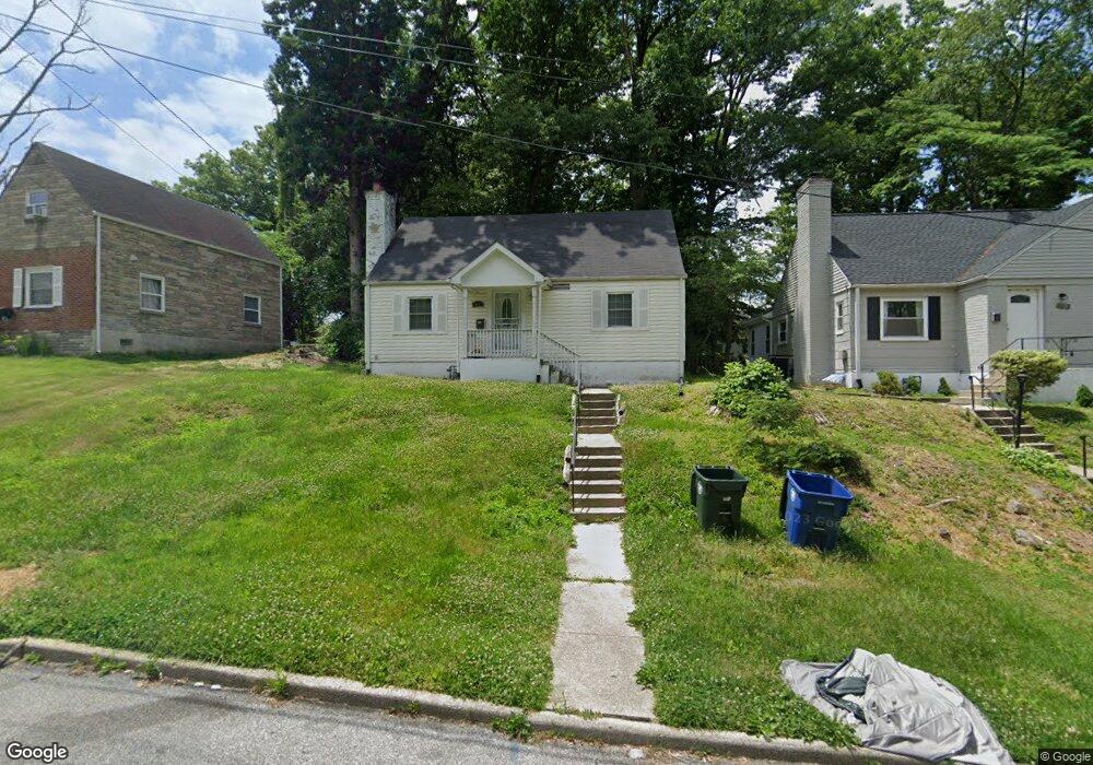
7015 Mason St District Heights, MD 20747
Estimated Value: $348,928 - $417,000
4
Beds
2
Baths
1,224
Sq Ft
$313/Sq Ft
Est. Value
About This Home
This home is located at 7015 Mason St, District Heights, MD 20747 and is currently estimated at $383,482, approximately $313 per square foot. 7015 Mason St is a home located in Prince George's County with nearby schools including Drew Freeman Middle School, Drew Freeman Middle School at Forestville High, and Suitland High School.
Ownership History
Date
Name
Owned For
Owner Type
Purchase Details
Closed on
Oct 27, 2010
Sold by
Ehb Holdings Llc Series 909
Bought by
Glasco Joann
Current Estimated Value
Home Financials for this Owner
Home Financials are based on the most recent Mortgage that was taken out on this home.
Original Mortgage
$199,724
Outstanding Balance
$133,596
Interest Rate
4.62%
Mortgage Type
FHA
Estimated Equity
$249,886
Purchase Details
Closed on
May 6, 2009
Sold by
Jackson Lawrence R
Bought by
Aurora Loan Services Llc
Create a Home Valuation Report for This Property
The Home Valuation Report is an in-depth analysis detailing your home's value as well as a comparison with similar homes in the area
Home Values in the Area
Average Home Value in this Area
Purchase History
| Date | Buyer | Sale Price | Title Company |
|---|---|---|---|
| Glasco Joann | $203,000 | -- | |
| Aurora Loan Services Llc | $124,744 | -- |
Source: Public Records
Mortgage History
| Date | Status | Borrower | Loan Amount |
|---|---|---|---|
| Open | Glasco Joann | $199,724 | |
| Closed | Glasco Joann | $7,500 |
Source: Public Records
Tax History Compared to Growth
Tax History
| Year | Tax Paid | Tax Assessment Tax Assessment Total Assessment is a certain percentage of the fair market value that is determined by local assessors to be the total taxable value of land and additions on the property. | Land | Improvement |
|---|---|---|---|---|
| 2025 | $4,174 | $224,567 | -- | -- |
| 2024 | $4,174 | $213,633 | $0 | $0 |
| 2023 | $3,914 | $202,700 | $60,500 | $142,200 |
| 2022 | $5,594 | $199,433 | $0 | $0 |
| 2021 | $3,460 | $196,167 | $0 | $0 |
| 2020 | $3,906 | $192,900 | $60,200 | $132,700 |
| 2019 | $3,854 | $187,133 | $0 | $0 |
| 2018 | $3,775 | $181,367 | $0 | $0 |
| 2017 | $3,313 | $175,600 | $0 | $0 |
| 2016 | -- | $162,467 | $0 | $0 |
| 2015 | $3,087 | $149,333 | $0 | $0 |
| 2014 | $3,087 | $136,200 | $0 | $0 |
Source: Public Records
Map
Nearby Homes
- 2206 Ramblewood Dr
- 6918 Gateway Blvd
- 2304 Ramblewood Dr
- 7007 Marbury Ct
- 2208 Breton Dr
- 7118 Foster St
- 6902 Diamond Ct
- 6808 Amber Hill Ct
- 2507 Edfeldt Dr
- 1818 Gould Dr
- 2313 Wintergreen Ave
- 6529 Halleck St
- 1747 Addison Rd S
- 2614 Boones Ln
- 2114 Glendora Dr
- 7304 Malden Ln
- 1621 Addison Rd S
- 1631 Addison Rd S Unit 1631
- 5501 Walker Mill Rd
- 6500 Kipling Pkwy
- 7013 Mason St
- 6918 Foster St
- 7011 Mason St
- 2114 Ramblewood Dr
- 6916 Foster St
- 2116 Ramblewood Dr
- 6914 Foster St
- 7009 Mason St
- 7012 Mason St
- 2112 Ramblewood Dr
- 6912 Foster St
- 6917 Foster St
- 7010 Mason St
- 7001 Foster St
- 7007 Mason St
- 2118 Ramblewood Dr
- 2110 Ramblewood Dr
- 7003 Foster St
- 6910 Foster St
- 7008 Foster St