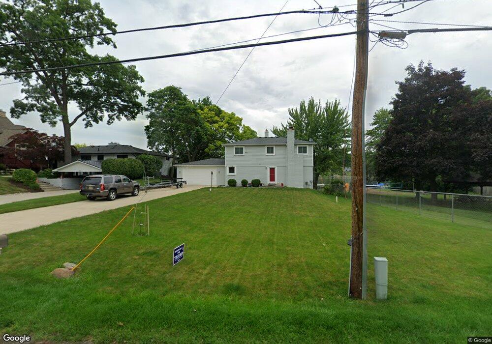
7016 Colony Dr West Bloomfield, MI 48323
Estimated Value: $552,000 - $861,800
3
Beds
1
Bath
16,553
Sq Ft
$45/Sq Ft
Est. Value
About This Home
This home is located at 7016 Colony Dr, West Bloomfield, MI 48323 and is currently estimated at $749,450, approximately $45 per square foot. 7016 Colony Dr is a home located in Oakland County with nearby schools including Clifford H. Smart Middle School, Walled Lake Northern High School, and Our Lady Of Refuge School.
Ownership History
Date
Name
Owned For
Owner Type
Purchase Details
Closed on
Jul 24, 2020
Sold by
Drummond Jenre Dare C
Bought by
Jennens Thomas and Jennens Kathleen
Current Estimated Value
Purchase Details
Closed on
Jun 27, 2018
Sold by
Higgins Harley and Higgins Cindy
Bought by
Drummond Jennie Dare C
Home Financials for this Owner
Home Financials are based on the most recent Mortgage that was taken out on this home.
Original Mortgage
$453,000
Interest Rate
4.6%
Mortgage Type
New Conventional
Purchase Details
Closed on
Apr 19, 2017
Sold by
Higgins Arlene
Bought by
Higgins Harley and Higgins Cindy
Purchase Details
Closed on
Sep 12, 1994
Sold by
Higgins Heather
Bought by
Higgins Arlene A
Create a Home Valuation Report for This Property
The Home Valuation Report is an in-depth analysis detailing your home's value as well as a comparison with similar homes in the area
Home Values in the Area
Average Home Value in this Area
Purchase History
| Date | Buyer | Sale Price | Title Company |
|---|---|---|---|
| Jennens Thomas | $595,000 | None Available | |
| Drummond Jennie Dare C | $575,000 | Cislo Title Co | |
| Higgins Harley | -- | None Available | |
| Higgins Arlene | -- | None Available | |
| Higgins Arlene A | -- | None Available |
Source: Public Records
Mortgage History
| Date | Status | Borrower | Loan Amount |
|---|---|---|---|
| Previous Owner | Drummond Jennie Dare C | $453,000 |
Source: Public Records
Tax History Compared to Growth
Tax History
| Year | Tax Paid | Tax Assessment Tax Assessment Total Assessment is a certain percentage of the fair market value that is determined by local assessors to be the total taxable value of land and additions on the property. | Land | Improvement |
|---|---|---|---|---|
| 2024 | $6,220 | $329,240 | $0 | $0 |
| 2022 | $5,865 | $299,680 | $204,780 | $94,900 |
| 2021 | $10,151 | $293,720 | $0 | $0 |
| 2020 | $5,800 | $288,770 | $204,780 | $83,990 |
| 2018 | $7,247 | $277,000 | $184,490 | $92,510 |
| 2015 | -- | $202,760 | $0 | $0 |
| 2014 | -- | $184,150 | $0 | $0 |
| 2011 | -- | $171,160 | $0 | $0 |
Source: Public Records
Map
Nearby Homes
- 6978 Colony Dr
- 4245 Bunker Ave
- 4335 Crestdale Ave
- 4212 Greendale Ave
- 7337 Richardson Rd
- 3991 Fieldview Ave
- 6903 Dandison Blvd
- 4066 Green Lake Rd
- 3965 Carrick Ave
- 4442 Borland St
- 0000 Langtoft
- 7381 Crestmore St
- 3950 Bradmore Ave
- 6675 Langtoft St
- 6768 Buckland Ave
- 6980 Hambro St
- 3632 Fieldview Ave
- 4540 Rolling Pine Ct
- 7359 Woodlore Dr
- 7369 Sweetbriar
- 7016 Colony Dr
- 7016 Colony Dr
- 7046 Colony Dr
- 7056 Colony Dr
- 0 Colony Dr
- 70160 Colony Dr
- 6992 Colony Dr
- 7066 Colony Dr
- 7015 Colony Dr
- 7007 Colony Dr
- 6986 Colony Dr
- 7080 Colony Dr
- 7063 Colony Dr
- 4145 Cedar Ave
- 4144 Alston Blvd
- 4123 Alston Blvd
- 6974 Colony Dr
- 0 Cedar Ave Unit 5556113
- 00 Cedar Ave
- 0 Cedar Ave Unit 217014065