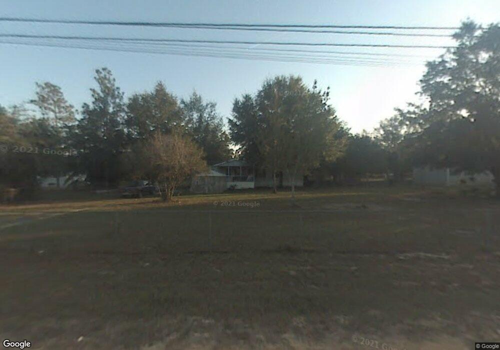
7018 Keiber Cir Youngstown, FL 32466
Estimated Value: $39,000 - $206,000
3
Beds
2
Baths
1,625
Sq Ft
$86/Sq Ft
Est. Value
About This Home
This home is located at 7018 Keiber Cir, Youngstown, FL 32466 and is currently estimated at $140,073, approximately $86 per square foot. 7018 Keiber Cir is a home located in Bay County with nearby schools including Waller Elementary School, Merritt Brown Middle School, and A. Crawford Mosley High School.
Ownership History
Date
Name
Owned For
Owner Type
Purchase Details
Closed on
Sep 20, 2018
Sold by
Fortner James Robert
Bought by
Mew Tew S Refuge Inc
Current Estimated Value
Purchase Details
Closed on
May 23, 2016
Sold by
Fortner Gayle
Bought by
Fortner Gayle and Fortner James
Purchase Details
Closed on
May 31, 2005
Sold by
Hall Joseph A and Hall Donna R
Bought by
Fortner Gayle
Home Financials for this Owner
Home Financials are based on the most recent Mortgage that was taken out on this home.
Original Mortgage
$66,500
Interest Rate
10.5%
Mortgage Type
Fannie Mae Freddie Mac
Create a Home Valuation Report for This Property
The Home Valuation Report is an in-depth analysis detailing your home's value as well as a comparison with similar homes in the area
Home Values in the Area
Average Home Value in this Area
Purchase History
| Date | Buyer | Sale Price | Title Company |
|---|---|---|---|
| Mew Tew S Refuge Inc | $10,000 | Attorney | |
| Fortner Gayle | -- | None Available | |
| Fortner Gayle | $95,000 | Diamond Title Agency Inc |
Source: Public Records
Mortgage History
| Date | Status | Borrower | Loan Amount |
|---|---|---|---|
| Previous Owner | Fortner Gayle | $66,500 |
Source: Public Records
Tax History Compared to Growth
Tax History
| Year | Tax Paid | Tax Assessment Tax Assessment Total Assessment is a certain percentage of the fair market value that is determined by local assessors to be the total taxable value of land and additions on the property. | Land | Improvement |
|---|---|---|---|---|
| 2024 | $200 | $19,101 | -- | -- |
| 2023 | $200 | $16,018 | $16,018 | $0 |
| 2022 | $168 | $14,516 | $14,516 | $0 |
| 2021 | $173 | $14,516 | $14,516 | $0 |
| 2020 | $162 | $13,545 | $13,545 | $0 |
| 2019 | $147 | $12,272 | $12,272 | $0 |
| 2018 | $427 | $31,808 | $0 | $0 |
| 2017 | $113 | $31,426 | $0 | $0 |
| 2016 | $109 | $30,936 | $0 | $0 |
| 2015 | $112 | $30,936 | $0 | $0 |
| 2014 | $182 | $36,327 | $0 | $0 |
Source: Public Records
Map
Nearby Homes
- 9112 Oakridge Ln
- 9110 Oakridge Ln
- 6910 Roadrunner Rd
- 000 Oakridge Ln
- 9119 Ibis Ln
- 9129 Ibis Ln
- 6702 Oakenshaw Dr
- 8561 Fremont Rd
- 6618 Bolivia St
- 9106 Ruff Dr
- 9107 Ruff Rd
- 9108 Ruff Rd
- 9105 Ruff Rd
- 6416 Everly St
- 9125 Merlin Dr
- 6420 Oakenshaw Dr
- 9412 Pat Rd
- 6528 Northwood St
- 9122 Merlin Dr
- 8428 Fremont Rd
- 8944 Firebird Ln
- 6938 Keiber Cir
- 7041 Keiber Cir
- 8920 Stork Ln
- 7124 Keiber Cir
- 8922 Stork Ave
- 9035 Keiber Place
- 7127 Keiber Cir
- 6929 Keiber Cir
- 8912 Firebird Ln
- 8836 Firebird Ln
- 6926 Keiber Cir
- 8908 Stork Ln
- 9027 Roadrunner Rd
- 6925 Keiber Cir
- 00 Keiber Cir
- 7140 Keiber Cir
- 8826 Stork Ave
- 8826 Stork Ln
- 6929 Roadrunner Rd