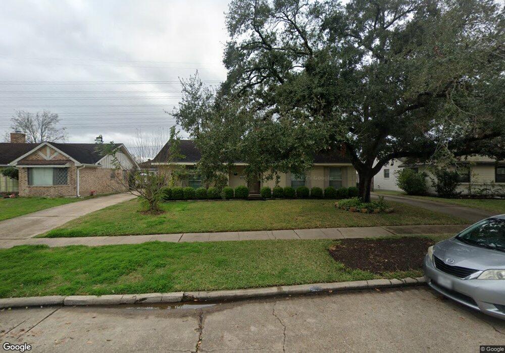
7018 Redding Rd Houston, TX 77036
Sharpstown NeighborhoodEstimated Value: $275,000 - $297,000
3
Beds
2
Baths
1,756
Sq Ft
$163/Sq Ft
Est. Value
About This Home
This home is located at 7018 Redding Rd, Houston, TX 77036 and is currently estimated at $285,834, approximately $162 per square foot. 7018 Redding Rd is a home located in Harris County with nearby schools including Neff Elementary School, Sugar Grove Academy, and Sharpstown High School.
Ownership History
Date
Name
Owned For
Owner Type
Purchase Details
Closed on
Aug 15, 2008
Sold by
Briggs John Hooper and Briggs Laura E
Bought by
Vanvantang Tan Van and Do Nam Thi
Current Estimated Value
Home Financials for this Owner
Home Financials are based on the most recent Mortgage that was taken out on this home.
Original Mortgage
$111,200
Outstanding Balance
$72,840
Interest Rate
6.29%
Mortgage Type
Purchase Money Mortgage
Estimated Equity
$212,994
Create a Home Valuation Report for This Property
The Home Valuation Report is an in-depth analysis detailing your home's value as well as a comparison with similar homes in the area
Home Values in the Area
Average Home Value in this Area
Purchase History
| Date | Buyer | Sale Price | Title Company |
|---|---|---|---|
| Vanvantang Tan Van | -- | First American Title |
Source: Public Records
Mortgage History
| Date | Status | Borrower | Loan Amount |
|---|---|---|---|
| Open | Vanvantang Tan Van | $111,200 |
Source: Public Records
Tax History
| Year | Tax Paid | Tax Assessment Tax Assessment Total Assessment is a certain percentage of the fair market value that is determined by local assessors to be the total taxable value of land and additions on the property. | Land | Improvement |
|---|---|---|---|---|
| 2025 | $2,961 | $258,812 | $135,808 | $123,004 |
| 2024 | $2,961 | $228,374 | $98,084 | $130,290 |
| 2023 | $2,961 | $256,909 | $98,084 | $158,825 |
| 2022 | $4,711 | $208,107 | $60,359 | $147,748 |
| 2021 | $4,375 | $187,700 | $60,359 | $127,341 |
| 2020 | $4,403 | $176,000 | $60,359 | $115,641 |
| 2019 | $4,380 | $167,800 | $45,269 | $122,531 |
| 2018 | $2,842 | $154,510 | $45,269 | $109,241 |
| 2017 | $4,163 | $177,118 | $45,269 | $131,849 |
| 2016 | $3,784 | $172,713 | $45,269 | $127,444 |
| 2015 | $2,299 | $155,454 | $45,269 | $110,185 |
| 2014 | $2,299 | $134,757 | $45,269 | $89,488 |
Source: Public Records
Map
Nearby Homes
- 8515 Edgemoor Dr
- 8527 Edgemoor Dr
- 8530 Roos Rd
- 8314 Edgemoor Dr
- 8818 Mobud Dr
- 8826 Rowan Ln
- 8818 Roos Rd
- 7303 Augustine Dr
- 9006 Roos Rd
- 7230 Pella Dr
- 8019 Sharpview Dr
- 6602 Harbor Town Dr Unit 1202
- 6602 Harbor Town Dr Unit 1207
- 8038 Carvel Ln
- 9231 Neff St
- 8207 Langdon Ln
- 7819 Bellaire Blvd
- 8366 Golf Green Cir
- 9238 Stroud Dr
- 6500 Harbor Town Dr Unit 2808
- 7022 Redding Rd
- 7014 Redding Rd
- 7102 Redding Rd
- 7010 Redding Rd
- 8526 Edgemoor Dr
- 7106 Redding Rd
- 7006 Redding Rd
- 8527 Leader St
- 8522 Edgemoor Dr
- 7110 Redding Rd
- 8523 Edgemoor Dr
- 8523 Leader St
- 8518 Edgemoor Dr
- 8526 Mobud Dr
- 7002 Redding Rd
- 8519 Edgemoor Dr
- 7114 Redding Rd
- 8519 Leader St
- 7015 S Gessner Dr
- 7011 S Gessner Rd
Your Personal Tour Guide
Ask me questions while you tour the home.