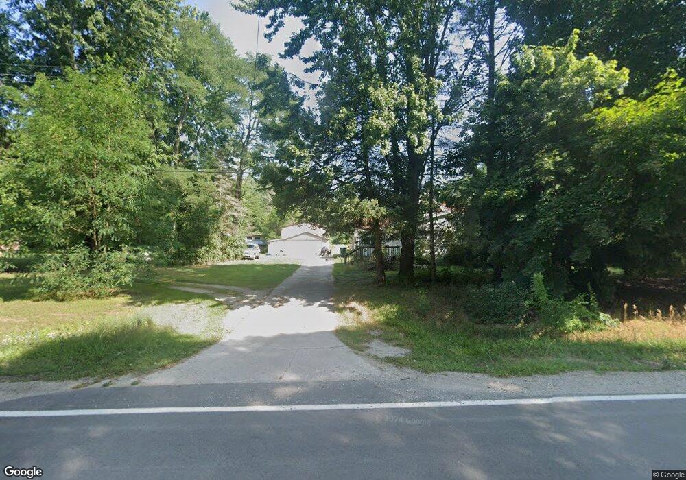
7018 Sparling Rd Kimball, MI 48074
Estimated Value: $258,000 - $380,465
2
Beds
2
Baths
1,200
Sq Ft
$253/Sq Ft
Est. Value
About This Home
This home is located at 7018 Sparling Rd, Kimball, MI 48074 and is currently estimated at $304,116, approximately $253 per square foot. 7018 Sparling Rd is a home located in St. Clair County with nearby schools including Kimball Elementary School, Central Middle School, and Port Huron High School.
Ownership History
Date
Name
Owned For
Owner Type
Purchase Details
Closed on
Oct 17, 2018
Sold by
Armstead Karen A
Bought by
Randolph Joseph
Current Estimated Value
Home Financials for this Owner
Home Financials are based on the most recent Mortgage that was taken out on this home.
Original Mortgage
$80,000
Outstanding Balance
$69,765
Interest Rate
4.5%
Mortgage Type
New Conventional
Estimated Equity
$234,351
Purchase Details
Closed on
Oct 9, 2018
Sold by
Armstead Karen A
Bought by
Randolph Joseph
Home Financials for this Owner
Home Financials are based on the most recent Mortgage that was taken out on this home.
Original Mortgage
$80,000
Outstanding Balance
$69,765
Interest Rate
4.5%
Mortgage Type
New Conventional
Estimated Equity
$234,351
Create a Home Valuation Report for This Property
The Home Valuation Report is an in-depth analysis detailing your home's value as well as a comparison with similar homes in the area
Home Values in the Area
Average Home Value in this Area
Purchase History
| Date | Buyer | Sale Price | Title Company |
|---|---|---|---|
| Randolph Joseph | $100,000 | Liberty Title | |
| Randolph Joseph | $100,000 | Liberty Title | |
| Randolph Joseph | $100,000 | Liberty Title |
Source: Public Records
Mortgage History
| Date | Status | Borrower | Loan Amount |
|---|---|---|---|
| Open | Randolph Joseph | $80,000 | |
| Closed | Randolph Joseph | $80,000 |
Source: Public Records
Tax History Compared to Growth
Tax History
| Year | Tax Paid | Tax Assessment Tax Assessment Total Assessment is a certain percentage of the fair market value that is determined by local assessors to be the total taxable value of land and additions on the property. | Land | Improvement |
|---|---|---|---|---|
| 2025 | $3,215 | $165,500 | $0 | $0 |
| 2024 | $1,821 | $159,400 | $0 | $0 |
| 2023 | $1,668 | $139,300 | $0 | $0 |
| 2022 | $2,872 | $118,600 | $0 | $0 |
| 2021 | $4,760 | $106,000 | $0 | $0 |
| 2020 | $4,760 | $127,700 | $78,400 | $49,300 |
| 2019 | $4,672 | $108,700 | $0 | $0 |
| 2018 | $2,476 | $97,800 | $0 | $0 |
| 2017 | $2,425 | $118,800 | $0 | $0 |
| 2016 | $1,534 | $118,800 | $0 | $0 |
| 2015 | -- | $120,500 | $72,200 | $48,300 |
| 2014 | -- | $134,700 | $72,200 | $62,500 |
| 2013 | -- | $106,600 | $0 | $0 |
Source: Public Records
Map
Nearby Homes
- 0 Sparling Rd Unit 2210034403
- 1900 Burns Rd
- 1619 Burns Rd
- 2954 English Rd
- I-69 vac Taylor Dr
- 6987 Lapeer Rd
- 0 Sparling Unit 20230091288
- 6928 Lapeer Rd
- 0000 Conrad Dr
- 6417 Dove Rd
- 00 Griswold Rd
- 3309 Rabidue Rd
- 2047 Edward Ln E
- 2019 Edward Ln E
- 2007 Edward Ln E
- 00000 Lapeer Rd
- 6140 S Branch Ln
- 521 Bush Lake Ln
- 504 Bush Lake Ln
- 0000 V/L Lapeer Rd
- 7021 Sparling Rd
- 0 Sparling Rd Unit 31342638
- 2254 Sunnyside Rd
- 7045 Sparling Rd
- 0 Sparling Unit 215118708
- 0 Sparling Unit 4922503
- 0 Sparling Unit 4735600
- 0 Sparling Unit 31269286
- 2244 Sunnyside Rd
- 2304 Sunnyside Rd
- 6901 Sparling Rd
- 2205 Sunnyside Rd
- 2197 Sunnyside Rd
- 2189 Sunnyside Rd
- VL Sunnyside Rd
- 7097 Sparling Rd
- 6889 Sparling Rd
- 7109 Sparling Rd
- 7121 Sparling Rd
- 6881 Sparling Rd