7019 SW Benham Ct Portland, OR 97225
Estimated Value: $1,086,161 - $1,458,000
3
Beds
4
Baths
4,144
Sq Ft
$301/Sq Ft
Est. Value
About This Home
This home is located at 7019 SW Benham Ct, Portland, OR 97225 and is currently estimated at $1,245,290, approximately $300 per square foot. 7019 SW Benham Ct is a home located in Washington County with nearby schools including West Tualatin View Elementary School, Cedar Park Middle School, and Beaverton High School.
Ownership History
Date
Name
Owned For
Owner Type
Purchase Details
Closed on
Nov 26, 2018
Sold by
Ranjit Elathur K
Bought by
Ranjit Karen E
Current Estimated Value
Purchase Details
Closed on
Nov 25, 1997
Sold by
Slapnicka Timothy R and Slapnicka Carolyn F
Bought by
Ranjit Elathur K and Ranjit Karen E
Home Financials for this Owner
Home Financials are based on the most recent Mortgage that was taken out on this home.
Original Mortgage
$390,390
Outstanding Balance
$54,070
Interest Rate
5.12%
Estimated Equity
$1,191,220
Create a Home Valuation Report for This Property
The Home Valuation Report is an in-depth analysis detailing your home's value as well as a comparison with similar homes in the area
Home Values in the Area
Average Home Value in this Area
Purchase History
| Date | Buyer | Sale Price | Title Company |
|---|---|---|---|
| Ranjit Karen E | -- | None Available | |
| Ranjit Elathur K | $488,650 | First American Title Ins Co |
Source: Public Records
Mortgage History
| Date | Status | Borrower | Loan Amount |
|---|---|---|---|
| Open | Ranjit Elathur K | $390,390 |
Source: Public Records
Tax History Compared to Growth
Tax History
| Year | Tax Paid | Tax Assessment Tax Assessment Total Assessment is a certain percentage of the fair market value that is determined by local assessors to be the total taxable value of land and additions on the property. | Land | Improvement |
|---|---|---|---|---|
| 2025 | $16,583 | $914,170 | -- | -- |
| 2024 | $15,615 | $887,550 | -- | -- |
| 2023 | $15,615 | $861,700 | $0 | $0 |
| 2022 | $15,172 | $861,700 | $0 | $0 |
| 2021 | $13,855 | $812,250 | $0 | $0 |
| 2020 | $13,147 | $788,600 | $0 | $0 |
| 2019 | $12,855 | $765,640 | $0 | $0 |
| 2018 | $12,578 | $743,340 | $0 | $0 |
| 2017 | $11,912 | $721,690 | $0 | $0 |
| 2016 | $11,999 | $721,690 | $0 | $0 |
| 2015 | $11,912 | $700,670 | $0 | $0 |
| 2014 | $11,714 | $680,270 | $0 | $0 |
Source: Public Records
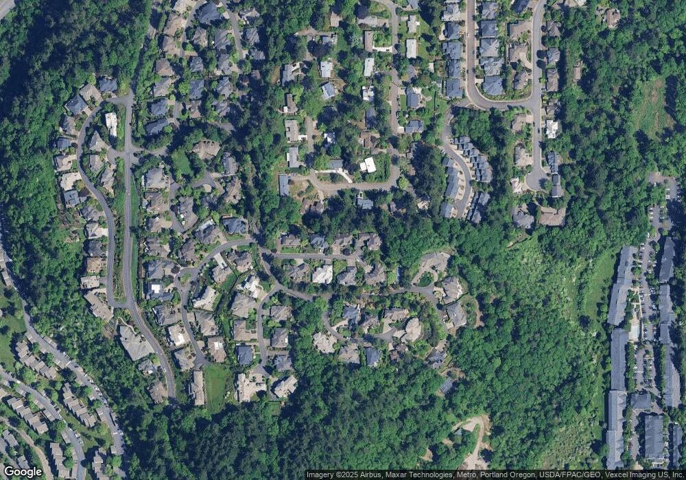
Map
Nearby Homes
- 979 SW Shaker Place
- 0 SW Ascot Ct
- 645 SW Viewmont Dr
- 955 SW Summit View Dr
- 1442 SW 66th Ave
- 6865 SW Windemere Loop
- 6535 SW Canyon Ct
- 8588 SW Summit Ct
- 6438 SW Barnes Rd
- 7514 SW Barnes Rd Unit A
- 7522 SW Barnes Rd Unit E
- 7522 SW Barnes Rd Unit H
- 7538 SW Barnes Rd Unit D
- 7538 SW Barnes Rd Unit H
- 6151 SW Mill St
- 6685 W Burnside Rd Unit 310
- 6605 W Burnside Rd Unit 152
- 6685 W Burnside St Unit 324
- 6685 W Burnside St Unit 350
- 6685 W Burnside St Unit 343
- 7061 SW Benham Ct
- 6983 SW Benham Ct
- 715 SW Viewmont Dr
- 725 SW Viewmont Dr
- 7016 SW Benham Ct
- 7054 SW Benham Ct
- 705 SW Viewmont Dr
- 6982 SW Benham Ct
- 7095 SW Benham Ct
- 7090 SW Benham Ct
- 735 SW Viewmont Dr
- 710 SW Viewmont Dr
- 695 SW Viewmont Dr
- 730 SW Viewmont Dr
- 0 SW Greenwich Dr Unit 14649228
- 0 SW Greenwich Dr Unit 1 14288670
- 0 SW Greenwich Dr
- 7015 SW Foxfield Ct
- 6987 SW Foxfield Ct
- 745 SW Viewmont Dr