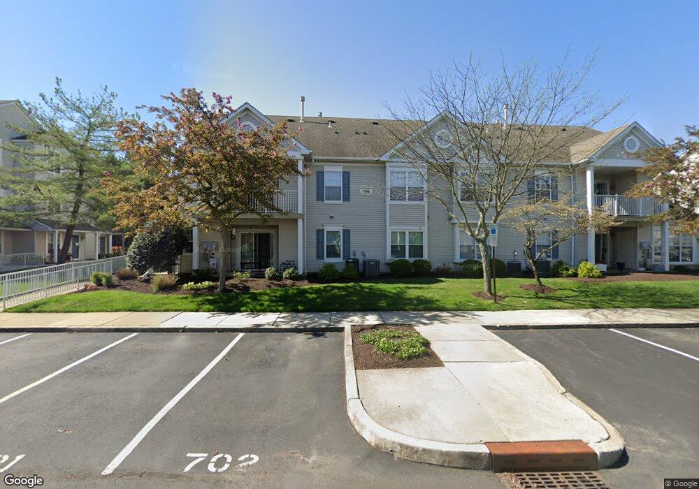
701A Wharton Rd Mount Laurel, NJ 08054
Estimated Value: $274,396 - $301,000
--
Bed
--
Bath
1,103
Sq Ft
$262/Sq Ft
Est. Value
About This Home
This home is located at 701A Wharton Rd, Mount Laurel, NJ 08054 and is currently estimated at $289,349, approximately $262 per square foot. 701A Wharton Rd is a home located in Burlington County with nearby schools including Countryside Elementary School, T.E. Harrington Middle School, and Mount Laurel Hartford School.
Ownership History
Date
Name
Owned For
Owner Type
Purchase Details
Closed on
Aug 3, 2005
Sold by
Mangini Joseph M and Mangini Rose V
Bought by
Rooney Margaret
Current Estimated Value
Home Financials for this Owner
Home Financials are based on the most recent Mortgage that was taken out on this home.
Original Mortgage
$161,500
Outstanding Balance
$84,947
Interest Rate
5.68%
Mortgage Type
Fannie Mae Freddie Mac
Estimated Equity
$204,402
Purchase Details
Closed on
Aug 1, 2003
Sold by
Calvey Jerome E and Calvey Sophie A
Bought by
Mangini Joseph M and Verbilla Rose T
Home Financials for this Owner
Home Financials are based on the most recent Mortgage that was taken out on this home.
Original Mortgage
$120,280
Interest Rate
6.31%
Mortgage Type
Purchase Money Mortgage
Create a Home Valuation Report for This Property
The Home Valuation Report is an in-depth analysis detailing your home's value as well as a comparison with similar homes in the area
Home Values in the Area
Average Home Value in this Area
Purchase History
| Date | Buyer | Sale Price | Title Company |
|---|---|---|---|
| Rooney Margaret | $170,000 | United Title & Abstract | |
| Mangini Joseph M | $124,000 | -- |
Source: Public Records
Mortgage History
| Date | Status | Borrower | Loan Amount |
|---|---|---|---|
| Open | Rooney Margaret | $161,500 | |
| Previous Owner | Mangini Joseph M | $120,280 |
Source: Public Records
Tax History Compared to Growth
Tax History
| Year | Tax Paid | Tax Assessment Tax Assessment Total Assessment is a certain percentage of the fair market value that is determined by local assessors to be the total taxable value of land and additions on the property. | Land | Improvement |
|---|---|---|---|---|
| 2025 | $4,862 | $154,000 | $45,000 | $109,000 |
| 2024 | $4,679 | $154,000 | $45,000 | $109,000 |
| 2023 | $4,679 | $154,000 | $45,000 | $109,000 |
| 2022 | $4,663 | $154,000 | $45,000 | $109,000 |
| 2021 | $4,575 | $154,000 | $45,000 | $109,000 |
| 2020 | $4,486 | $154,000 | $45,000 | $109,000 |
| 2019 | $4,440 | $154,000 | $45,000 | $109,000 |
| 2018 | $4,406 | $154,000 | $45,000 | $109,000 |
| 2017 | $4,292 | $154,000 | $45,000 | $109,000 |
| 2016 | $4,227 | $154,000 | $45,000 | $109,000 |
| 2015 | $4,178 | $154,000 | $45,000 | $109,000 |
| 2014 | $4,136 | $154,000 | $45,000 | $109,000 |
Source: Public Records
Map
Nearby Homes
- 705A Wharton Rd
- 205 Kirby Way Unit 205
- 603 Kirby Way Unit 603
- 6 Leighton Dr
- 907A Oliphant Ln Unit 907A
- 112B W Bluebell Ln Unit 112B
- 53 Saw Mill Dr
- 99 A W Bluebell Ln
- 12 B E Daisy Ln
- 6 E Azalea Ln
- 16 W Azalea Ln
- 123A Birchfield Ct Unit 123A
- 130B Birchfield Ct Unit 130B
- 60B Sumac Ct
- 70B Sumac Ct Unit 70B
- 31 Quince Ct
- 40 E Oleander Dr
- 74 Poppy Ct
- 167 Canterbury Rd
- 23 E Oleander Dr
- 702B Wharton Rd
- 703 Wharton Rd
- 708 Wharton Rd
- 708B Wharton Rd
- 704 Wharton Rd
- 704B Wharton Rd
- 706 Wharton Rd
- 706B Wharton Rd
- 707A Wharton Rd
- 507A Wharton Rd Unit 507
- 505A Wharton Rd
- 508B Wharton Rd
- 508 Wharton Rd
- 508 Wharton Road B
- 508 Wharton Road B
- 506B Wharton Rd Unit 506
- 902B Wharton Rd
- 902 Wharton B
- 904 Wharton Rd
- 901A Wharton Rd