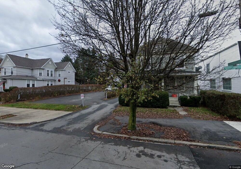
702 1/2 Electric St Scranton, PA 18509
Greenridge NeighborhoodEstimated Value: $161,900 - $241,000
--
Bed
1
Bath
--
Sq Ft
1,437
Sq Ft Lot
About This Home
This home is located at 702 1/2 Electric St, Scranton, PA 18509 and is currently estimated at $190,475. 702 1/2 Electric St is a home located in Lackawanna County with nearby schools including Maybeury Elementary School, Pinchbeck Elementary School, and Robert Morris #27.
Ownership History
Date
Name
Owned For
Owner Type
Purchase Details
Closed on
Aug 10, 2022
Sold by
Alexa Wrightson
Bought by
Perillo Harry N and Perillo Connie L
Current Estimated Value
Purchase Details
Closed on
Aug 24, 2020
Sold by
Caltenco Blanca E and Conejo Miguel A
Bought by
Wrightson Alexa
Home Financials for this Owner
Home Financials are based on the most recent Mortgage that was taken out on this home.
Original Mortgage
$75,000
Interest Rate
2.8%
Mortgage Type
New Conventional
Purchase Details
Closed on
Oct 26, 2005
Sold by
Paradis David and Paradis Heather L
Bought by
Conejo Miguel A and Caltenco Blance E
Home Financials for this Owner
Home Financials are based on the most recent Mortgage that was taken out on this home.
Original Mortgage
$59,790
Interest Rate
5.93%
Mortgage Type
New Conventional
Purchase Details
Closed on
Jul 22, 2004
Sold by
Peng Du Kuan
Bought by
Paradis David
Create a Home Valuation Report for This Property
The Home Valuation Report is an in-depth analysis detailing your home's value as well as a comparison with similar homes in the area
Home Values in the Area
Average Home Value in this Area
Purchase History
| Date | Buyer | Sale Price | Title Company |
|---|---|---|---|
| Perillo Harry N | $131,000 | None Listed On Document | |
| Wrightson Alexa | $74,000 | First Amer Ttl Guaranty Co | |
| Conejo Miguel A | $57,790 | None Available | |
| Paradis David | $55,600 | None Available |
Source: Public Records
Mortgage History
| Date | Status | Borrower | Loan Amount |
|---|---|---|---|
| Previous Owner | Wrightson Alexa | $75,000 | |
| Previous Owner | Conejo Miguel A | $59,790 |
Source: Public Records
Tax History Compared to Growth
Tax History
| Year | Tax Paid | Tax Assessment Tax Assessment Total Assessment is a certain percentage of the fair market value that is determined by local assessors to be the total taxable value of land and additions on the property. | Land | Improvement |
|---|---|---|---|---|
| 2025 | $2,636 | $8,500 | $850 | $7,650 |
| 2024 | $2,402 | $8,500 | $850 | $7,650 |
| 2023 | $2,402 | $8,500 | $850 | $7,650 |
| 2022 | $2,349 | $8,500 | $850 | $7,650 |
| 2021 | $2,349 | $8,500 | $850 | $7,650 |
| 2020 | $2,303 | $8,500 | $850 | $7,650 |
| 2019 | $2,165 | $8,500 | $850 | $7,650 |
| 2018 | $2,165 | $8,500 | $850 | $7,650 |
| 2017 | $2,125 | $8,500 | $850 | $7,650 |
| 2016 | $584 | $8,500 | $850 | $7,650 |
| 2015 | $1,248 | $8,500 | $850 | $7,650 |
| 2014 | -- | $8,500 | $850 | $7,650 |
Source: Public Records
Map
Nearby Homes
- 1762-1764 Sanderson Ave
- 1747 Monsey Ave
- 802 Sunset St
- 1732 Capouse Ave
- 512 Electric St Unit 510-516
- 1008 Sunset St
- 2106 Boulevard Ave
- 1012 Sunset St
- 416 Electric St
- 1021 Richmont St
- 1606 Dickson Ave
- 525 Green Ridge St
- 1118 Columbia St
- 2129 Comegys Ave Unit L11
- 2237 Boulevard Ave
- 1519 1521 von Storch Ave
- 601 Dean St
- 1513 Meylert Ave
- 2136 N Main Ave
- 1118 Marion St
- 702 1 2 Electric St
- 702 Electric St
- 702 Electric St
- 702 Electric St
- 1761 Monsey Ave
- 700 Electric St
- 1765 Monsey Ave
- 1772 Sanderson Ave
- 1757 Monsey Ave
- 1757 Monsey Ave
- 1770 Sanderson Ave
- 724 Electric St
- 1810 Sanderson Ave
- 1768 Sanderson Ave
- 1817 Monsey Ave
- 1766 Sanderson Ave
- 1819 Monsey Ave
- 1762 Sanderson Ave Unit 1764
- 1753 Monsey Ave
- 1760 Sanderson Ave