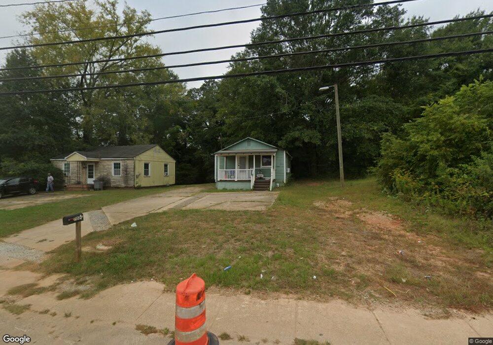
702 1/2 Hamilton Rd Lagrange, GA 30241
Estimated Value: $57,930 - $158,000
2
Beds
1
Bath
459
Sq Ft
$191/Sq Ft
Est. Value
About This Home
This home is located at 702 1/2 Hamilton Rd, Lagrange, GA 30241 and is currently estimated at $87,483, approximately $190 per square foot. 702 1/2 Hamilton Rd is a home with nearby schools including Callaway Elementary School, Hogansville Elementary School, and Callaway Middle School.
Ownership History
Date
Name
Owned For
Owner Type
Purchase Details
Closed on
Nov 30, 2021
Sold by
T Squared 1 Llc
Bought by
Brbrshy Investments Inc
Current Estimated Value
Purchase Details
Closed on
Jun 1, 2021
Sold by
Stribling Ty
Bought by
T Squared 2 Llc
Purchase Details
Closed on
Sep 1, 1985
Sold by
Donz Inc
Bought by
Ralph Matthews J
Purchase Details
Closed on
Jul 1, 1985
Sold by
Irene and Malone W
Bought by
Donz Inc
Purchase Details
Closed on
Jan 1, 1948
Sold by
Vivian Stradford and Eon Freeney
Bought by
Irene and Malone W
Create a Home Valuation Report for This Property
The Home Valuation Report is an in-depth analysis detailing your home's value as well as a comparison with similar homes in the area
Home Values in the Area
Average Home Value in this Area
Purchase History
| Date | Buyer | Sale Price | Title Company |
|---|---|---|---|
| Brbrshy Investments Inc | $12,484,500 | -- | |
| T Squared 2 Llc | -- | -- | |
| Ralph Matthews J | -- | -- | |
| Donz Inc | -- | -- | |
| Irene | -- | -- |
Source: Public Records
Tax History Compared to Growth
Tax History
| Year | Tax Paid | Tax Assessment Tax Assessment Total Assessment is a certain percentage of the fair market value that is determined by local assessors to be the total taxable value of land and additions on the property. | Land | Improvement |
|---|---|---|---|---|
| 2025 | $235 | $13,680 | $3,120 | $10,560 |
| 2024 | $235 | $8,600 | $3,120 | $5,480 |
| 2023 | $231 | $8,480 | $3,120 | $5,360 |
| 2022 | $313 | $11,200 | $3,120 | $8,080 |
| 2021 | $210 | $6,960 | $3,120 | $3,840 |
| 2020 | $210 | $6,960 | $3,120 | $3,840 |
| 2019 | $150 | $4,960 | $2,080 | $2,880 |
| 2018 | $150 | $4,960 | $2,080 | $2,880 |
| 2017 | $150 | $4,960 | $2,080 | $2,880 |
| 2016 | $144 | $4,772 | $1,950 | $2,822 |
| 2015 | $144 | $4,772 | $1,950 | $2,822 |
| 2014 | $144 | $4,772 | $1,950 | $2,822 |
| 2013 | -- | $6,928 | $2,600 | $4,328 |
Source: Public Records
Map
Nearby Homes
- 0 E Fendig St
- 113 E Fendig St
- 311 Colquitt St
- 901 Whiteline St
- 109 Bell St
- 200 Mccall St
- 303 E Mulberry St
- 0 Boggs St Unit 10550243
- 0 Boggs St Unit 10550231
- 0 Boggs St Unit 10550239
- 0 Boggs St Unit 10550250
- 101 Cedar St
- 0 Brown St Unit 10550761
- 0 Brown St Unit 10550754
- 205 Fannin St
- 203 Fannin St
- 304 Butler St
- 0 Bagley St
- 501 Milam St
- 626 Smoot St
- 704 Hamilton Rd
- 219 E Crovat St
- 217 E Crovat St
- 217 E Crovat St
- 222 E Crovat St
- 220 E Crovat St
- 210 Wright St
- 213 Wright St
- 213 E Crovat St
- 0 Whiteline McGregor Unit 7262448
- 0 Whiteline St Unit 3257919
- 208 Wright St
- 216 E Crovat St
- 209 Wright St
- 206 Wright St
- 214 E Crovat St
- 222 E Cannon St
- 204 Wright St
- 227 Fendig St
- 207 Wright St