Estimated Value: $64,000 - $82,591
--
Bed
1
Bath
940
Sq Ft
$78/Sq Ft
Est. Value
About This Home
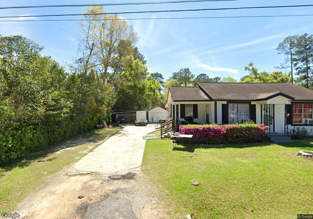
This home is located at 702 8th Ave NE, Cairo, GA 39828 and is currently estimated at $72,898, approximately $77 per square foot. 702 8th Ave NE is a home located in Grady County with nearby schools including Cairo High School.
Ownership History
Date
Name
Owned For
Owner Type
Purchase Details
Closed on
Dec 10, 2014
Sold by
Sessions Jason Lee
Bought by
Folsom James Lenward
Current Estimated Value
Purchase Details
Closed on
Sep 20, 2011
Sold by
Harrell Danny W
Bought by
Sessions Jason Lee
Purchase Details
Closed on
Aug 10, 2011
Sold by
Estrada Roberto Briones
Bought by
Harrell Danny W
Purchase Details
Closed on
Aug 1, 2008
Sold by
Harrell Danny W
Bought by
Estrada Roberto Briones
Purchase Details
Closed on
Feb 27, 2006
Sold by
Harrell Melton
Bought by
Harrell Danny W and Smith Connie H
Purchase Details
Closed on
Dec 8, 2005
Sold by
Page Nicky
Bought by
Harrell Melton
Purchase Details
Closed on
Aug 7, 2001
Sold by
Page Paul
Bought by
Page Nicky
Purchase Details
Closed on
Oct 2, 1985
Bought by
Page Paul
Create a Home Valuation Report for This Property
The Home Valuation Report is an in-depth analysis detailing your home's value as well as a comparison with similar homes in the area
Home Values in the Area
Average Home Value in this Area
Purchase History
| Date | Buyer | Sale Price | Title Company |
|---|---|---|---|
| Folsom James Lenward | $26,000 | -- | |
| Sessions Jason Lee | $30,000 | -- | |
| Harrell Danny W | $36,683 | -- | |
| Estrada Roberto Briones | $40,000 | -- | |
| Harrell Danny W | $26,000 | -- | |
| Harrell Melton | $26,000 | -- | |
| Page Nicky | $13,500 | -- | |
| Page Paul | -- | -- |
Source: Public Records
Tax History Compared to Growth
Tax History
| Year | Tax Paid | Tax Assessment Tax Assessment Total Assessment is a certain percentage of the fair market value that is determined by local assessors to be the total taxable value of land and additions on the property. | Land | Improvement |
|---|---|---|---|---|
| 2024 | $1,119 | $28,364 | $2,000 | $26,364 |
| 2023 | $556 | $15,033 | $1,296 | $13,737 |
| 2022 | $579 | $15,033 | $1,296 | $13,737 |
| 2021 | $580 | $15,033 | $1,296 | $13,737 |
| 2020 | $582 | $15,033 | $1,296 | $13,737 |
| 2019 | $582 | $15,033 | $1,296 | $13,737 |
| 2018 | $553 | $15,033 | $1,296 | $13,737 |
| 2017 | $532 | $15,033 | $1,296 | $13,737 |
| 2016 | $457 | $12,627 | $1,296 | $11,331 |
| 2015 | $373 | $12,627 | $1,296 | $11,331 |
| 2014 | -- | $12,627 | $1,296 | $11,331 |
| 2013 | -- | $11,769 | $1,296 | $10,473 |
Source: Public Records
Map
Nearby Homes
- 00 NW 9th Ave
- 711 2nd Ave NE
- 2975 U S 84
- 4761 Hadley Ferry Rd
- 125 6th Ave NW
- 00 00 Hwy 111 South Tract 2
- 309 3rd St SE
- X 1st St
- 00 Hwy 111 South Tract 1
- 316,322 NW 1st St + Lot
- 0 1st St
- 0 20th St NE
- 00 20th St NE
- 220 8th Ave NW
- 471 4th St SE
- 481 4th St SE
- 000 S Broad St
- 530 6th Ave SE
- 1420 Parallel Dr NW
- 602 4th St SE