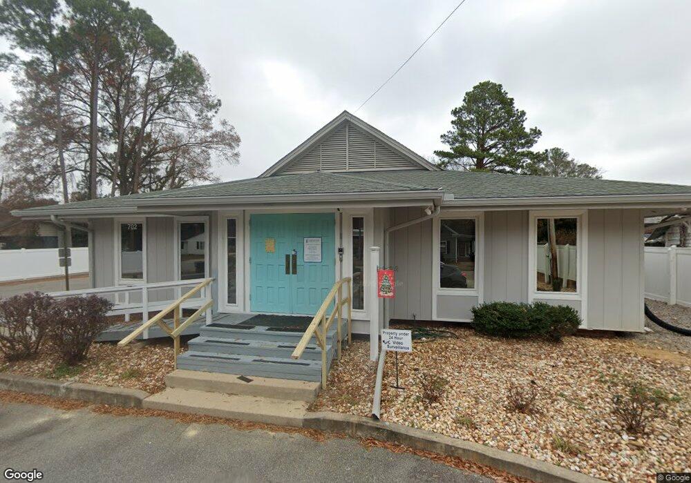
702 Broad St W Wilson, NC 27893
Estimated Value: $352,361
--
Bed
--
Bath
24,132
Sq Ft
$15/Sq Ft
Est. Value
About This Home
This home is located at 702 Broad St W, Wilson, NC 27893 and is currently estimated at $352,361, approximately $14 per square foot. 702 Broad St W is a home located in Wilson County with nearby schools including Margaret Hearne Elementary School, Toisnot Middle School, and Fike High School.
Ownership History
Date
Name
Owned For
Owner Type
Purchase Details
Closed on
Jun 9, 2016
Sold by
Skinner Lamm & Highsmith Pa
Bought by
Wilson Pregnancy Center Inc
Current Estimated Value
Home Financials for this Owner
Home Financials are based on the most recent Mortgage that was taken out on this home.
Original Mortgage
$125,000
Outstanding Balance
$99,777
Interest Rate
3.66%
Mortgage Type
Commercial
Estimated Equity
$252,584
Create a Home Valuation Report for This Property
The Home Valuation Report is an in-depth analysis detailing your home's value as well as a comparison with similar homes in the area
Home Values in the Area
Average Home Value in this Area
Purchase History
| Date | Buyer | Sale Price | Title Company |
|---|---|---|---|
| Wilson Pregnancy Center Inc | $150,000 | Attorney |
Source: Public Records
Mortgage History
| Date | Status | Borrower | Loan Amount |
|---|---|---|---|
| Open | Wilson Pregnancy Center Inc | $125,000 |
Source: Public Records
Tax History Compared to Growth
Tax History
| Year | Tax Paid | Tax Assessment Tax Assessment Total Assessment is a certain percentage of the fair market value that is determined by local assessors to be the total taxable value of land and additions on the property. | Land | Improvement |
|---|---|---|---|---|
| 2025 | $755 | $0 | $0 | $0 |
| 2024 | $755 | $126,831 | $42,262 | $84,569 |
| 2022 | $0 | $105,736 | $36,225 | $69,511 |
| 2021 | $1,355 | $103,856 | $36,225 | $67,631 |
| 2020 | $1,355 | $103,856 | $36,225 | $67,631 |
| 2019 | $1,355 | $103,856 | $36,225 | $67,631 |
| 2018 | $0 | $103,856 | $36,225 | $67,631 |
| 2017 | $1,335 | $103,856 | $36,225 | $67,631 |
| 2016 | $1,350 | $103,856 | $36,225 | $67,631 |
| 2014 | $1,800 | $144,594 | $36,225 | $108,369 |
Source: Public Records
Map
Nearby Homes
- 703 Broad St W
- 711 Kenan St W
- 700 Kenan St W
- 207 Bruton St W
- 209 Daniel St W
- 701 Franklin Ave W
- 704 Vance St E
- 506 Kenan St W
- 310 Atlantic Christian College Dr W
- 109 Bragg St NE
- 900 Nash St N
- 806 Vance St N
- 1103 Kenan St NW
- 905 Nash St NW
- 307 Broad St W
- 500 Vance St NE
- 1003 Branch St NW
- 1005 Anderson St NW
- 416 Rountree St W
- 909 Lee St N
- 110 Warren St W
- 114 Warren St W
- 710 Broad St W
- 4530 Fairhaven Dr
- 109 Rountree St W
- 712 Broad St W
- 106 Warren St W
- 616 Broad St W
- 707 Broad St W
- 709 Broad St W
- 112 Rountree St W
- 613 Broad St W
- 613 Broad St W Unit A-D
- 711 Broad St W
- 204 Warren St W
- 601 Nash St W
- 101 Warren St W
- 610 Broad St W
- 110 Rountree St W
- 802 Broad St W