702 Clinton St Flint, MI 48507
South Side NeighborhoodEstimated Value: $46,444 - $97,000
3
Beds
1
Bath
450
Sq Ft
$156/Sq Ft
Est. Value
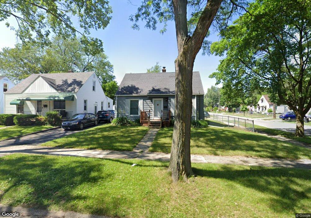
About This Home
This home is located at 702 Clinton St, Flint, MI 48507 and is currently estimated at $70,361, approximately $156 per square foot. 702 Clinton St is a home located in Genesee County with nearby schools including Neithercut Elementary School, Flint Southwestern Classical Academy, and International Academy of Flint (K-12).
Ownership History
Date
Name
Owned For
Owner Type
Purchase Details
Closed on
Jan 23, 2018
Sold by
Wells Fargo Bank N A
Bought by
Narmeen Kabra Llc
Current Estimated Value
Purchase Details
Closed on
Sep 13, 2017
Sold by
Bradley Joseph A and Bradley Carrie L
Bought by
Wells Fargo Bank N A
Purchase Details
Closed on
Aug 2, 2000
Sold by
Bankers Trust Company Of California Na
Bought by
Bradley Joseph A and Bradley Carrie L
Create a Home Valuation Report for This Property
The Home Valuation Report is an in-depth analysis detailing your home's value as well as a comparison with similar homes in the area
Home Values in the Area
Average Home Value in this Area
Purchase History
| Date | Buyer | Sale Price | Title Company |
|---|---|---|---|
| Narmeen Kabra Llc | $14,850 | Boston National Title Llc | |
| Wells Fargo Bank N A | $18,750 | None Available | |
| Bradley Joseph A | $61,500 | Guaranty Title Company |
Source: Public Records
Tax History
| Year | Tax Paid | Tax Assessment Tax Assessment Total Assessment is a certain percentage of the fair market value that is determined by local assessors to be the total taxable value of land and additions on the property. | Land | Improvement |
|---|---|---|---|---|
| 2025 | $862 | $15,900 | $0 | $0 |
| 2024 | $804 | $14,300 | $0 | $0 |
| 2023 | $791 | $11,300 | $0 | $0 |
| 2022 | $0 | $10,400 | $0 | $0 |
| 2021 | $799 | $8,900 | $0 | $0 |
| 2020 | $742 | $8,400 | $0 | $0 |
| 2019 | $730 | $7,100 | $0 | $0 |
| 2018 | $766 | $7,800 | $0 | $0 |
| 2017 | $758 | $0 | $0 | $0 |
| 2016 | $753 | $0 | $0 | $0 |
| 2015 | -- | $0 | $0 | $0 |
| 2014 | -- | $0 | $0 | $0 |
| 2012 | -- | $14,200 | $0 | $0 |
Source: Public Records
Map
Nearby Homes
- 652 Crawford St
- 612 Clinton St
- 805 Alvord Ave
- 806 Alvord Ave
- 829 Clinton St
- 845 Alvord Ave
- 822 Campbell St
- 912 Huron St
- 1216 E Hemphill Rd
- 3902 Cuthbertson St
- 3902 Brunswick Ave
- 846 W Hemphill Rd
- 1015 Alvord Ave
- 1219 Norton St
- 805 Vermilya Ave
- 1028 Campbell St
- 825 Vermilya Ave
- 1122 Markham St
- 3214 S Grand Traverse St
- 615 Freeman Ave
Your Personal Tour Guide
Ask me questions while you tour the home.