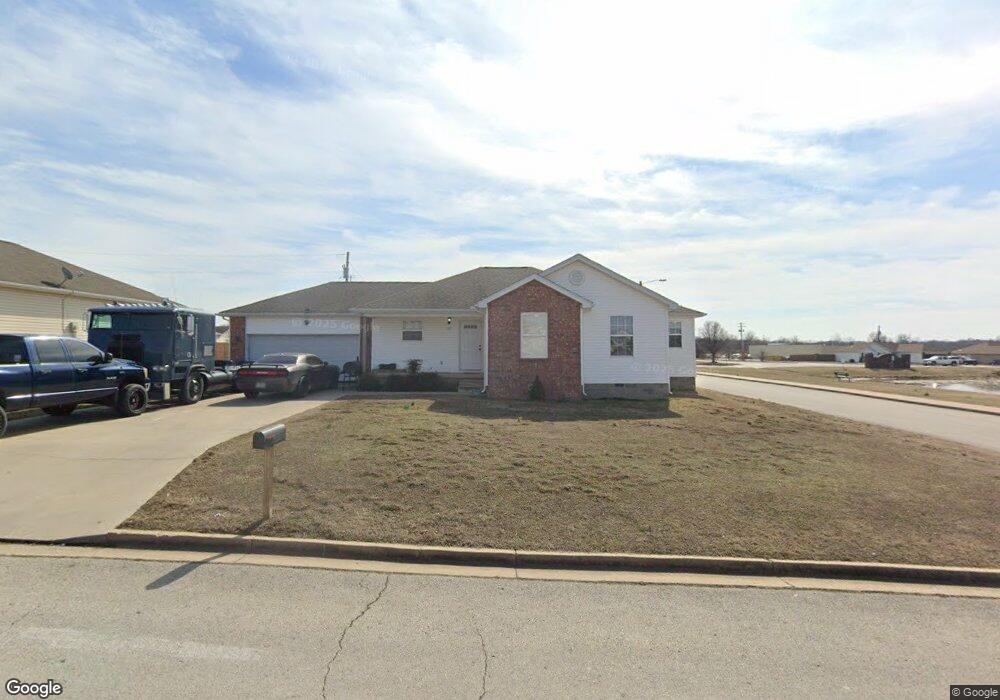
702 Derek Ct Unit 1 Oronogo, MO 64855
Estimated Value: $202,000 - $218,115
3
Beds
2
Baths
1,310
Sq Ft
$161/Sq Ft
Est. Value
About This Home
This home is located at 702 Derek Ct Unit 1, Oronogo, MO 64855 and is currently estimated at $211,529, approximately $161 per square foot. 702 Derek Ct Unit 1 is a home located in Jasper County with nearby schools including Webb City High School.
Ownership History
Date
Name
Owned For
Owner Type
Purchase Details
Closed on
May 8, 2017
Sold by
Smith Jan and Smith Shaun
Bought by
Reaves Kenneth E and Reaves Kenneth Earl
Current Estimated Value
Home Financials for this Owner
Home Financials are based on the most recent Mortgage that was taken out on this home.
Original Mortgage
$107,000
Outstanding Balance
$88,771
Interest Rate
4.1%
Mortgage Type
New Conventional
Estimated Equity
$122,758
Purchase Details
Closed on
Mar 31, 2011
Sold by
Smith Jan and Smith Shaun L
Bought by
The Jan Smith & Shaun Smith Revocable Li
Purchase Details
Closed on
Mar 15, 2006
Sold by
Overfelt Chuck and Overfelt Crystal
Bought by
Smith Jan and Smith Shaun L
Home Financials for this Owner
Home Financials are based on the most recent Mortgage that was taken out on this home.
Original Mortgage
$77,625
Interest Rate
6.19%
Mortgage Type
Fannie Mae Freddie Mac
Create a Home Valuation Report for This Property
The Home Valuation Report is an in-depth analysis detailing your home's value as well as a comparison with similar homes in the area
Home Values in the Area
Average Home Value in this Area
Purchase History
We collect this data history from publicly available records. To have your information removed, we recommend requesting removal directly through your county’s website.
| Date | Buyer | Sale Price | Title Company |
|---|---|---|---|
| Reaves Kenneth E | -- | None Available | |
| The Jan Smith & Shaun Smith Revocable Li | -- | Fatco | |
| Smith Jan | -- | None Available |
Source: Public Records
Mortgage History
We collect this data history from publicly available records. To have your information removed, we recommend requesting removal directly through your county’s website.
| Date | Status | Borrower | Loan Amount |
|---|---|---|---|
| Open | Reaves Kenneth E | $107,000 | |
| Previous Owner | Smith Jan | $77,625 |
Source: Public Records
Tax History
| Year | Tax Paid | Tax Assessment Tax Assessment Total Assessment is a certain percentage of the fair market value that is determined by local assessors to be the total taxable value of land and additions on the property. | Land | Improvement |
|---|---|---|---|---|
| 2025 | $952 | $19,580 | $2,460 | $17,120 |
| 2024 | $952 | $18,340 | $2,460 | $15,880 |
| 2023 | $952 | $18,340 | $2,460 | $15,880 |
| 2022 | $978 | $18,890 | $2,460 | $16,430 |
| 2021 | $972 | $18,890 | $2,460 | $16,430 |
| 2020 | $861 | $17,430 | $2,460 | $14,970 |
| 2019 | $863 | $17,430 | $2,460 | $14,970 |
| 2018 | $862 | $17,450 | $0 | $0 |
| 2017 | $864 | $17,450 | $0 | $0 |
| 2016 | $838 | $18,150 | $0 | $0 |
| 2015 | $836 | $18,150 | $0 | $0 |
| 2014 | $836 | $18,150 | $0 | $0 |
Source: Public Records
Map
Nearby Homes
- 617 Sarah Ct
- 000 State Highway 96
- 901 D Hwy
- TBD 3 87 Acres County Lane 228
- 499 W Amber Dr
- 920 Caitlan Dr
- 9945 County Lane 217
- 297 N Davis St
- TBD Tiffney Dr
- 908 Gregory Dr
- 25629 Kafir Rd
- 104 Katey Ln
- 116 Katey Ln
- 103 Jared Blvd
- 9125 County Lane 217
- 297 S 4th St
- 321 S 4th St
- 269 S 3rd St
- 120 Jared Blvd
- 2312 N Greystone Square
Your Personal Tour Guide
Ask me questions while you tour the home.