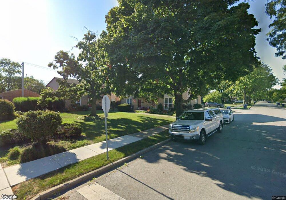
702 E Harding Ave La Grange Park, IL 60526
Estimated Value: $275,000 - $460,000
3
Beds
2
Baths
1,152
Sq Ft
$308/Sq Ft
Est. Value
About This Home
This home is located at 702 E Harding Ave, La Grange Park, IL 60526 and is currently estimated at $354,675, approximately $307 per square foot. 702 E Harding Ave is a home located in Cook County with nearby schools including Forest Road Elementary School, Park Junior High School, and Lyons Township High School.
Ownership History
Date
Name
Owned For
Owner Type
Purchase Details
Closed on
May 19, 2005
Sold by
Laconte Karen A and Walker Donna M
Bought by
Walker Donna M
Current Estimated Value
Home Financials for this Owner
Home Financials are based on the most recent Mortgage that was taken out on this home.
Original Mortgage
$121,930
Interest Rate
6.87%
Mortgage Type
Unknown
Create a Home Valuation Report for This Property
The Home Valuation Report is an in-depth analysis detailing your home's value as well as a comparison with similar homes in the area
Home Values in the Area
Average Home Value in this Area
Purchase History
| Date | Buyer | Sale Price | Title Company |
|---|---|---|---|
| Walker Donna M | -- | Chicago Title Insurance Comp |
Source: Public Records
Mortgage History
| Date | Status | Borrower | Loan Amount |
|---|---|---|---|
| Closed | Walker Donna M | $121,930 |
Source: Public Records
Tax History
| Year | Tax Paid | Tax Assessment Tax Assessment Total Assessment is a certain percentage of the fair market value that is determined by local assessors to be the total taxable value of land and additions on the property. | Land | Improvement |
|---|---|---|---|---|
| 2025 | $6,304 | $28,001 | $2,188 | $25,813 |
| 2024 | $6,304 | $28,001 | $2,188 | $25,813 |
| 2023 | $5,458 | $28,001 | $2,188 | $25,813 |
| 2022 | $5,458 | $21,360 | $1,875 | $19,485 |
| 2021 | $5,273 | $21,360 | $1,875 | $19,485 |
| 2020 | $5,214 | $21,360 | $1,875 | $19,485 |
| 2019 | $4,387 | $18,836 | $1,718 | $17,118 |
| 2018 | $4,312 | $18,836 | $1,718 | $17,118 |
| 2017 | $4,215 | $18,836 | $1,718 | $17,118 |
| 2016 | $4,040 | $15,869 | $1,562 | $14,307 |
| 2015 | $3,598 | $15,869 | $1,562 | $14,307 |
| 2014 | $3,557 | $15,869 | $1,562 | $14,307 |
| 2013 | $3,526 | $16,104 | $1,562 | $14,542 |
Source: Public Records
Map
Nearby Homes
- 314 Beach Ave
- 425 N Catherine Ave
- 141 N La Grange Rd Unit 1006
- 141 N La Grange Rd Unit 504
- 141 N La Grange Rd Unit 601
- 141 N La Grange Rd Unit 602
- 3321 Harrison Ave
- 3227 Harrison Ave
- 636 N Stone Ave
- 1211 Homestead Rd
- 3730 Madison Ave
- 30 Washington Ave
- 1127 Morgan Ave
- 3128 Arthur Ave
- 4021 Deyo Ave
- 3229 Maple Ave
- 46 6th Ave Unit GJ
- 140 Sawyer Ave
- 75 E Harris Ave Unit 3C
- 67 Bluff Ave
- 706 E Harding Ave
- 704 E Harding Ave
- 700 E Harding Ave
- 633 Homestead Rd
- 638 Barnsdale Rd
- 620 E Harding Ave
- 634 Barnsdale Rd
- 630 Barnsdale Rd
- 629 Homestead Rd
- 616 E Harding Ave
- 626 Barnsdale Rd
- 630 Homestead Rd
- 702 Barnsdale Rd
- 625 Homestead Rd
- 612 E Harding Ave
- 701 E Harding Ave
- 701 E Harding Ave
- 707 E Harding Ave
- 707 E Harding Ave
- 622 Barnsdale Rd