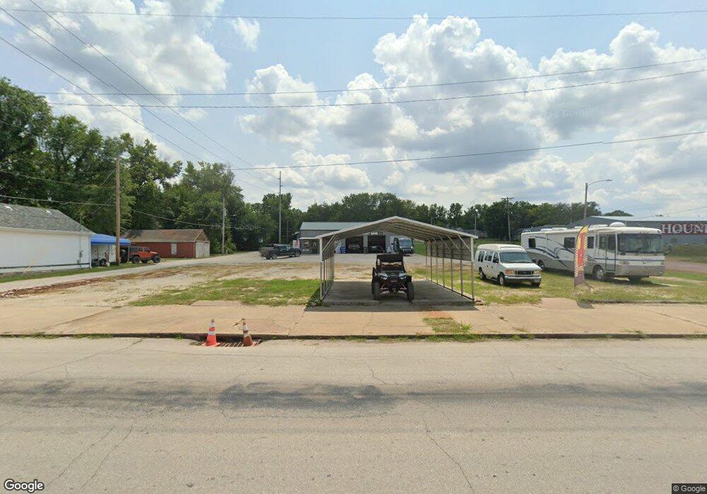
702 E Wall St Fort Scott, KS 66701
Studio
--
Bath
1,800
Sq Ft
11,761
Sq Ft Lot
About This Home
This home is located at 702 E Wall St, Fort Scott, KS 66701. 702 E Wall St is a home located in Bourbon County with nearby schools including Winfield Scott Elementary School, Eugene Ware Elementary School, and Fort Scott Middle School.
Ownership History
Date
Name
Owned For
Owner Type
Purchase Details
Closed on
Jul 17, 2023
Sold by
Durossette Family Trust
Bought by
Fort Scott Rides Llc
Home Financials for this Owner
Home Financials are based on the most recent Mortgage that was taken out on this home.
Original Mortgage
$151,200
Outstanding Balance
$147,606
Interest Rate
6.81%
Mortgage Type
Construction
Purchase Details
Closed on
Aug 1, 2000
Bought by
Durossette Claude F and Durossette Ethel M
Create a Home Valuation Report for This Property
The Home Valuation Report is an in-depth analysis detailing your home's value as well as a comparison with similar homes in the area
Home Values in the Area
Average Home Value in this Area
Purchase History
| Date | Buyer | Sale Price | Title Company |
|---|---|---|---|
| Fort Scott Rides Llc | $189,000 | Security First Title | |
| Durossette Claude F | $65,000 | -- |
Source: Public Records
Mortgage History
| Date | Status | Borrower | Loan Amount |
|---|---|---|---|
| Open | Fort Scott Rides Llc | $151,200 |
Source: Public Records
Tax History
| Year | Tax Paid | Tax Assessment Tax Assessment Total Assessment is a certain percentage of the fair market value that is determined by local assessors to be the total taxable value of land and additions on the property. | Land | Improvement |
|---|---|---|---|---|
| 2025 | $4,479 | $22,450 | $2,310 | $20,140 |
| 2024 | $45 | $23,345 | $2,310 | $21,035 |
| 2023 | $4,266 | $22,268 | $2,310 | $19,958 |
| 2022 | $3,991 | $20,895 | $2,310 | $18,585 |
| 2021 | $4,028 | $20,243 | $2,310 | $17,933 |
| 2020 | $4,034 | $20,135 | $2,310 | $17,825 |
| 2019 | $467 | $2,310 | $2,310 | $0 |
| 2018 | $200 | $990 | $990 | $0 |
| 2017 | $96 | $475 | $475 | $0 |
| 2016 | -- | $475 | $475 | $0 |
| 2015 | -- | $432 | $432 | $0 |
| 2014 | -- | $432 | $432 | $0 |
Source: Public Records
Map
Nearby Homes
- 124 S Margrave St
- 220 S Broadway St
- 1219 E Pine St
- 201 S Washington St
- 207 S Washington St
- 622 S Little St
- 501 Arthur St
- 108 N Crawford St
- 202 N Crawford St
- 107 N Eddy St
- 523 S Judson St
- 12 S Eddy St
- 419 S Eddy St
- 517 S Eddy St
- 0 S Madison St Unit HMS2558732
- 601 S Holbrook St
- 1732 E Oak St
- 846 S Main St
- 816 S Crawford St
- 910 S Judson St
Your Personal Tour Guide
Ask me questions while you tour the home.