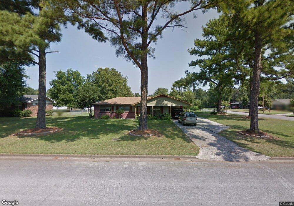
702 Eleanor Dr SW Decatur, AL 35601
Estimated Value: $144,462 - $171,000
--
Bed
--
Bath
1,271
Sq Ft
$127/Sq Ft
Est. Value
About This Home
This home is located at 702 Eleanor Dr SW, Decatur, AL 35601 and is currently estimated at $160,866, approximately $126 per square foot. 702 Eleanor Dr SW is a home located in Morgan County with nearby schools including West Decatur Elementary School, Brookhaven Middle School, and Austin High School.
Ownership History
Date
Name
Owned For
Owner Type
Purchase Details
Closed on
May 25, 2005
Sold by
Barnes David Howard and Dodd Alma L
Bought by
Marcial Maria S
Current Estimated Value
Home Financials for this Owner
Home Financials are based on the most recent Mortgage that was taken out on this home.
Original Mortgage
$54,950
Interest Rate
5.69%
Mortgage Type
New Conventional
Create a Home Valuation Report for This Property
The Home Valuation Report is an in-depth analysis detailing your home's value as well as a comparison with similar homes in the area
Home Values in the Area
Average Home Value in this Area
Purchase History
| Date | Buyer | Sale Price | Title Company |
|---|---|---|---|
| Marcial Maria S | -- | None Available |
Source: Public Records
Mortgage History
| Date | Status | Borrower | Loan Amount |
|---|---|---|---|
| Previous Owner | Marcial Maria S | $54,950 | |
| Previous Owner | Marcial Maria S | $20,000 |
Source: Public Records
Tax History Compared to Growth
Tax History
| Year | Tax Paid | Tax Assessment Tax Assessment Total Assessment is a certain percentage of the fair market value that is determined by local assessors to be the total taxable value of land and additions on the property. | Land | Improvement |
|---|---|---|---|---|
| 2024 | $310 | $8,540 | $1,500 | $7,040 |
| 2023 | $310 | $8,540 | $1,500 | $7,040 |
| 2022 | $310 | $8,540 | $1,500 | $7,040 |
| 2021 | $265 | $7,380 | $1,500 | $5,880 |
| 2020 | $669 | $13,260 | $1,500 | $11,760 |
| 2019 | $669 | $14,760 | $0 | $0 |
| 2015 | $250 | $6,580 | $0 | $0 |
| 2014 | $250 | $6,580 | $0 | $0 |
| 2013 | -- | $7,020 | $0 | $0 |
Source: Public Records
Map
Nearby Homes
- 504 Betty St SW
- 405 Beard St SW
- 1606 3rd Ave SW
- 456 Autumnwood Dr SW
- 430 Autumnwood Dr SW
- 1910 Ewell St SW
- 420 Autumnwood Dr SW
- 216 Austinville Rd SW
- 434 Carridale St SW
- 428 Carridale St SW
- 120 Beard St SW
- 1519 Phillips Ave SW
- 1109 Betty St SW
- 116 Daniel St SW
- 416 Everett Dr SW
- 1107 Sandra St SW
- 1003 8th Ave SW
- 1304 Carridale St SW
- 1110 Sandra St SW
- 1109 Edgewood St SW
- 704 Eleanor Dr SW
- 701 Vernon St SW
- 1434 7th Ave SW
- 1432 7th Ave SW
- 703 Vernon St SW
- 706 Eleanor Dr SW
- 703 Eleanor Dr SW
- 1430 7th Ave SW
- 705 Vernon St SW
- 605 Eleanor Dr SW
- 705 Eleanor Dr SW
- 1428 7th Ave SW
- 802 Eleanor Dr SW
- 603 Eleanor Dr SW
- 1433 6th Ave SW
- 707 Vernon St SW
- 1603 7th Ave SW
- 1431 6th Ave SW
- 702 Vernon St SW
- 1429 6th Ave SW