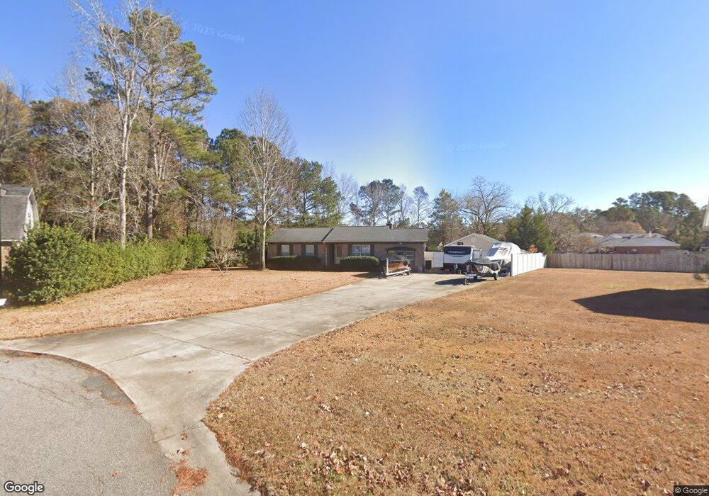
702 Evans Ct Myrtle Beach, SC 29579
Estimated Value: $217,000 - $276,000
3
Beds
2
Baths
1,291
Sq Ft
$192/Sq Ft
Est. Value
About This Home
This home is located at 702 Evans Ct, Myrtle Beach, SC 29579 and is currently estimated at $247,639, approximately $191 per square foot. 702 Evans Ct is a home located in Horry County with nearby schools including Forestbrook Elementary School, Forestbrook Middle School, and Socastee High School.
Ownership History
Date
Name
Owned For
Owner Type
Purchase Details
Closed on
Jun 30, 2006
Sold by
Ennis Kimberly M
Bought by
Marvin Keith and Marvin Susan
Current Estimated Value
Purchase Details
Closed on
Oct 12, 2000
Sold by
Lynn Galli Antonio and Lynn Denise
Bought by
Ennis Kimberly M
Home Financials for this Owner
Home Financials are based on the most recent Mortgage that was taken out on this home.
Original Mortgage
$97,375
Interest Rate
7.91%
Mortgage Type
Purchase Money Mortgage
Purchase Details
Closed on
Jun 22, 1999
Sold by
Galli Antonio
Bought by
Galli Antonio and Galli Denise Lynn
Create a Home Valuation Report for This Property
The Home Valuation Report is an in-depth analysis detailing your home's value as well as a comparison with similar homes in the area
Home Values in the Area
Average Home Value in this Area
Purchase History
| Date | Buyer | Sale Price | Title Company |
|---|---|---|---|
| Marvin Keith | $160,000 | None Available | |
| Ennis Kimberly M | $102,500 | -- | |
| Galli Antonio | -- | -- |
Source: Public Records
Mortgage History
| Date | Status | Borrower | Loan Amount |
|---|---|---|---|
| Previous Owner | Ennis Kimberly M | $97,375 |
Source: Public Records
Tax History
| Year | Tax Paid | Tax Assessment Tax Assessment Total Assessment is a certain percentage of the fair market value that is determined by local assessors to be the total taxable value of land and additions on the property. | Land | Improvement |
|---|---|---|---|---|
| 2025 | $1,935 | $0 | $0 | $0 |
| 2024 | $1,935 | $14,316 | $6,237 | $8,079 |
| 2023 | $1,935 | $5,319 | $1,389 | $3,930 |
| 2021 | $593 | $5,515 | $1,535 | $3,980 |
| 2020 | $507 | $5,515 | $1,535 | $3,980 |
| 2019 | $507 | $5,515 | $1,535 | $3,980 |
| 2018 | $459 | $4,626 | $1,034 | $3,592 |
| 2017 | -- | $4,626 | $1,034 | $3,592 |
| 2016 | -- | $4,626 | $1,034 | $3,592 |
| 2015 | $444 | $4,626 | $1,034 | $3,592 |
| 2014 | $410 | $4,626 | $1,034 | $3,592 |
Source: Public Records
Map
Nearby Homes
- 147 Quail Hollow Rd
- 386 Harbison Cir
- 347 Harbison Cir
- 1006 Forestbrook Rd
- 849 Brant St
- 875 Brookline Dr
- 129 Brookgate Dr
- 802 Knobcone Ct
- 746 Gumbo Limbo Ln
- 1176 Harbison Cir
- 720 Gazania Ln
- 159 Brookgate Dr
- 191 Carlisle Way
- 1164 Harbison Cir
- 8037 Forest Edge Dr Unit 8037
- 4412 Livorn Loop
- 5459 Elba Way Unit Brookhaven Lot 1501
- 531 Harrison Mill St Unit 531
- 4348 Livorn Loop Unit Lot 41
- 837 Harrison Mill St
- 512 Forestbrook Dr
- 703 Evans Ct
- 216 Shiraz Ct
- 216 Shiraz Ct Unit Lot 80 Forestbrook
- 604 Baker Ct
- 510 Forestbrook Dr
- 510 Forestbrook Dr
- 510 Forestbrook Dr
- 704 Evans Ct Unit MB
- 215 Shiraz Ct
- 215 Shiraz Ct Unit Lot 79 Forestbrook R
- 215 Shiraz Ct Unit Lot 79
- 215 Shiraz Ct Unit Lot 79 Forestbrook
- 514 Forestbrook Dr
- 212 Shiraz Ct
- 212 Shiraz Ct Unit Lot 81
- 212 Shiraz Ct Unit Lot 81 Forestbrook R
- 212 Shiraz Ct Unit Lot 81 Forestbrook
- 603 Baker Ct
- 517 Forestbrook Dr
Your Personal Tour Guide
Ask me questions while you tour the home.