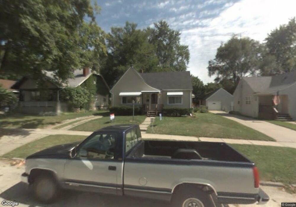
702 Frank St Flint, MI 48504
Mott Park NeighborhoodEstimated Value: $82,000 - $102,000
2
Beds
1
Bath
800
Sq Ft
$112/Sq Ft
Est. Value
About This Home
This home is located at 702 Frank St, Flint, MI 48504 and is currently estimated at $89,408, approximately $111 per square foot. 702 Frank St is a home located in Genesee County with nearby schools including Durant-Tuuri-Mott Elementary School, St John Vianney Catholic School, and St. Paul Lutheran School.
Ownership History
Date
Name
Owned For
Owner Type
Purchase Details
Closed on
Mar 27, 2025
Sold by
Jones Ruby M
Bought by
Jones Ruby M and Smith Darryl R
Current Estimated Value
Purchase Details
Closed on
Jan 4, 2023
Sold by
Flipping Flint Inc
Bought by
Jones Ruby M
Home Financials for this Owner
Home Financials are based on the most recent Mortgage that was taken out on this home.
Original Mortgage
$77,900
Interest Rate
6.58%
Mortgage Type
New Conventional
Purchase Details
Closed on
Aug 5, 2022
Sold by
Stevens Belford Nicole
Bought by
Flipping Flint Inc
Purchase Details
Closed on
Jan 22, 2003
Sold by
Fritzler John J and Fritzler Diana L
Bought by
Stevens Nicole
Create a Home Valuation Report for This Property
The Home Valuation Report is an in-depth analysis detailing your home's value as well as a comparison with similar homes in the area
Home Values in the Area
Average Home Value in this Area
Purchase History
| Date | Buyer | Sale Price | Title Company |
|---|---|---|---|
| Jones Ruby M | -- | None Listed On Document | |
| Jones Ruby M | -- | None Listed On Document | |
| Jones Ruby M | $82,000 | -- | |
| Flipping Flint Inc | $35,000 | None Listed On Document | |
| Stevens Nicole | $54,900 | Guaranty Title Company |
Source: Public Records
Mortgage History
| Date | Status | Borrower | Loan Amount |
|---|---|---|---|
| Previous Owner | Jones Ruby M | $77,900 | |
| Closed | Jones Ruby M | $7,000 |
Source: Public Records
Tax History
| Year | Tax Paid | Tax Assessment Tax Assessment Total Assessment is a certain percentage of the fair market value that is determined by local assessors to be the total taxable value of land and additions on the property. | Land | Improvement |
|---|---|---|---|---|
| 2025 | $1,675 | $34,000 | $0 | $0 |
| 2024 | $1,494 | $30,600 | $0 | $0 |
| 2023 | $1,453 | $25,200 | $0 | $0 |
| 2022 | $0 | $18,500 | $0 | $0 |
| 2021 | $965 | $17,700 | $0 | $0 |
| 2020 | $890 | $17,400 | $0 | $0 |
| 2019 | $871 | $10,100 | $0 | $0 |
| 2018 | $857 | $9,100 | $0 | $0 |
| 2017 | $910 | $0 | $0 | $0 |
| 2016 | $910 | $0 | $0 | $0 |
| 2015 | -- | $0 | $0 | $0 |
| 2014 | -- | $0 | $0 | $0 |
| 2012 | -- | $13,600 | $0 | $0 |
Source: Public Records
Map
Nearby Homes
- 825 Frank St
- 2026 Monteith St
- 751 Dupont St
- 612 Bradley Ave
- 314 Sheffield Ave
- 320 Sheffield Ave
- 2437 Zimmerman St
- 913 Perry St
- 3320 Pencombe Place
- 2023 Cadillac St
- 2663 W Court St
- 2310 Gibson St
- 2464 Gibson St
- 2410 Corunna Rd
- 1016 Dupont St
- 932 Bradley Ave
- 2124 Swayze St
- 3617 Sherwood Dr
- 2509 Corunna Rd
- 911 Hughes Ave
Your Personal Tour Guide
Ask me questions while you tour the home.