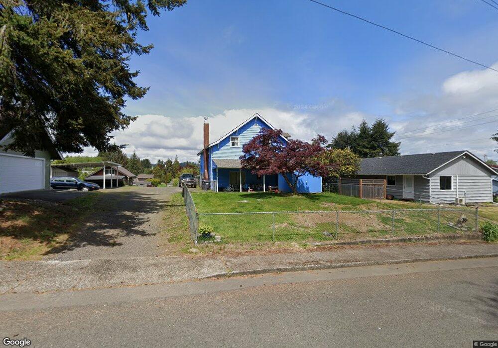
702 Franklin Dr Cosmopolis, WA 98537
Estimated Value: $228,000 - $315,000
3
Beds
2
Baths
1,616
Sq Ft
$174/Sq Ft
Est. Value
About This Home
This home is located at 702 Franklin Dr, Cosmopolis, WA 98537 and is currently estimated at $280,377, approximately $173 per square foot. 702 Franklin Dr is a home located in Grays Harbor County with nearby schools including Cosmopolis Elementary School and St. Mary School.
Ownership History
Date
Name
Owned For
Owner Type
Purchase Details
Closed on
Oct 9, 2009
Sold by
The Bank Of New York Mellon
Bought by
Huber Samatha and Polinder Michael
Current Estimated Value
Home Financials for this Owner
Home Financials are based on the most recent Mortgage that was taken out on this home.
Original Mortgage
$80,789
Interest Rate
4.99%
Mortgage Type
FHA
Purchase Details
Closed on
Oct 28, 2008
Sold by
Evans June D
Bought by
The Bank Of New York
Create a Home Valuation Report for This Property
The Home Valuation Report is an in-depth analysis detailing your home's value as well as a comparison with similar homes in the area
Purchase History
| Date | Buyer | Sale Price | Title Company |
|---|---|---|---|
| Huber Samatha | $66,900 | Coast Title | |
| The Bank Of New York Mellon | -- | Coast Title | |
| The Bank Of New York | $118,774 | Coast Title |
Source: Public Records
Mortgage History
| Date | Status | Borrower | Loan Amount |
|---|---|---|---|
| Previous Owner | Huber Samatha | $80,789 |
Source: Public Records
Tax History
| Year | Tax Paid | Tax Assessment Tax Assessment Total Assessment is a certain percentage of the fair market value that is determined by local assessors to be the total taxable value of land and additions on the property. | Land | Improvement |
|---|---|---|---|---|
| 2025 | $1,877 | $180,859 | $20,000 | $160,859 |
| 2023 | $1,890 | $180,859 | $20,000 | $160,859 |
| 2022 | $1,582 | $131,199 | $25,000 | $106,199 |
| 2021 | $1,496 | $131,199 | $25,000 | $106,199 |
| 2020 | $1,206 | $116,535 | $20,000 | $96,535 |
| 2019 | $974 | $100,446 | $20,000 | $80,446 |
| 2018 | $1,151 | $87,038 | $20,000 | $67,038 |
| 2017 | $1,135 | $75,865 | $20,000 | $55,865 |
| 2016 | -- | $75,865 | $20,000 | $55,865 |
| 2014 | -- | $66,790 | $20,000 | $46,790 |
| 2013 | -- | $79,430 | $20,000 | $59,430 |
Source: Public Records
Map
Nearby Homes
- 513 E St
- 1304 5th St
- 0 3rd St Unit NWM2359278
- 215 H St
- 1209 Dundee Dr
- 1320 3rd St
- 8 Trinity Place
- 0 Highway 101
- 2 X Lomax St
- 0 10-14 Block 45 Broadway Addition
- 0 W Huntley St
- 801 Southwest Blvd
- 0 Lomax Unit NWM2393947
- 2405 1st St
- 802 Polk St
- 711 Polk St
- 121 E Harriman St
- 1221 S Evans St
- 302 W Farrell St
- 304 W Farrell St
Your Personal Tour Guide
Ask me questions while you tour the home.