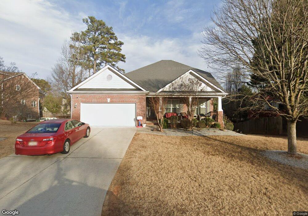
702 Gire Ct Athens, GA 30606
Forest Heights NeighborhoodEstimated Value: $417,000 - $482,000
--
Bed
--
Bath
2,638
Sq Ft
$175/Sq Ft
Est. Value
About This Home
This home is located at 702 Gire Ct, Athens, GA 30606 and is currently estimated at $460,513, approximately $174 per square foot. 702 Gire Ct is a home located in Clarke County with nearby schools including Oglethorpe Avenue Elementary School, Burney-Harris-Lyons Middle School, and Clarke Central High School.
Ownership History
Date
Name
Owned For
Owner Type
Purchase Details
Closed on
Jun 16, 2006
Sold by
Not Provided
Bought by
Neal Dorothy
Current Estimated Value
Home Financials for this Owner
Home Financials are based on the most recent Mortgage that was taken out on this home.
Original Mortgage
$211,040
Outstanding Balance
$128,743
Interest Rate
7.35%
Mortgage Type
New Conventional
Estimated Equity
$331,770
Purchase Details
Closed on
Oct 31, 2005
Sold by
Hampton Park Enterprises I
Bought by
Riverwood Builders Llc
Create a Home Valuation Report for This Property
The Home Valuation Report is an in-depth analysis detailing your home's value as well as a comparison with similar homes in the area
Home Values in the Area
Average Home Value in this Area
Purchase History
| Date | Buyer | Sale Price | Title Company |
|---|---|---|---|
| Neal Dorothy | $263,800 | -- | |
| Riverwood Builders Llc | $764,000 | -- |
Source: Public Records
Mortgage History
| Date | Status | Borrower | Loan Amount |
|---|---|---|---|
| Open | Neal Dorothy | $211,040 | |
| Closed | Neal Dorothy | $52,760 |
Source: Public Records
Tax History Compared to Growth
Tax History
| Year | Tax Paid | Tax Assessment Tax Assessment Total Assessment is a certain percentage of the fair market value that is determined by local assessors to be the total taxable value of land and additions on the property. | Land | Improvement |
|---|---|---|---|---|
| 2025 | $5,031 | $188,674 | $14,000 | $174,674 |
| 2024 | $5,031 | $177,943 | $14,000 | $163,943 |
| 2023 | $5,061 | $173,164 | $14,000 | $159,164 |
| 2022 | $4,500 | $151,080 | $14,000 | $137,080 |
| 2021 | $3,800 | $122,750 | $12,000 | $110,750 |
| 2020 | $3,307 | $108,128 | $12,000 | $96,128 |
| 2019 | $3,168 | $103,328 | $12,000 | $91,328 |
| 2018 | $3,052 | $99,886 | $12,000 | $87,886 |
| 2017 | $2,915 | $95,872 | $12,000 | $83,872 |
| 2016 | $2,361 | $79,545 | $9,600 | $69,945 |
| 2015 | $2,346 | $78,989 | $8,800 | $70,189 |
| 2014 | $2,269 | $76,614 | $8,800 | $67,814 |
Source: Public Records
Map
Nearby Homes
- 607 Creekside Ct
- 347 Hampton Park Dr
- 330 Stoneland Dr
- 107 Berkeshire Ct
- 119 E Surry Ct
- 135 Tara Way
- 185 Landor Dr
- 140 Breckenridge Ln
- 2505 W Broad St Unit 134
- 2505 W Broad St Unit 138
- 2505 W Broad St Unit 723
- 2505 W Broad St Unit 326
- 2505 W Broad St Unit 222
- 125 Hampton Park Dr
- 126 Briarcliff Rd Unit 2
- 334 Hampton Park Dr
- Lot 20E Gire Ct
- 704 Gire Ct
- 603 Creekside Ct
- 605 Creekside Ct
- 330 Hampton Park Dr
- 703 Gire Ct
- 705 Gire Ct
- 342 Hampton Park Dr
- 342 Lot 25e Hampton Park Dr
- 707 Gire Ct
- Lot 10E Creekside Ct
- Lot 14E Creekside Ct
- Lot 13E Creekside Ct
- 706 Gire Ct
- 709 Gire Ct
- 602 Creekside Ct
- 322 Hampton Park Dr
- 335 Hampton Park Dr
- 331 Hampton Park Dr