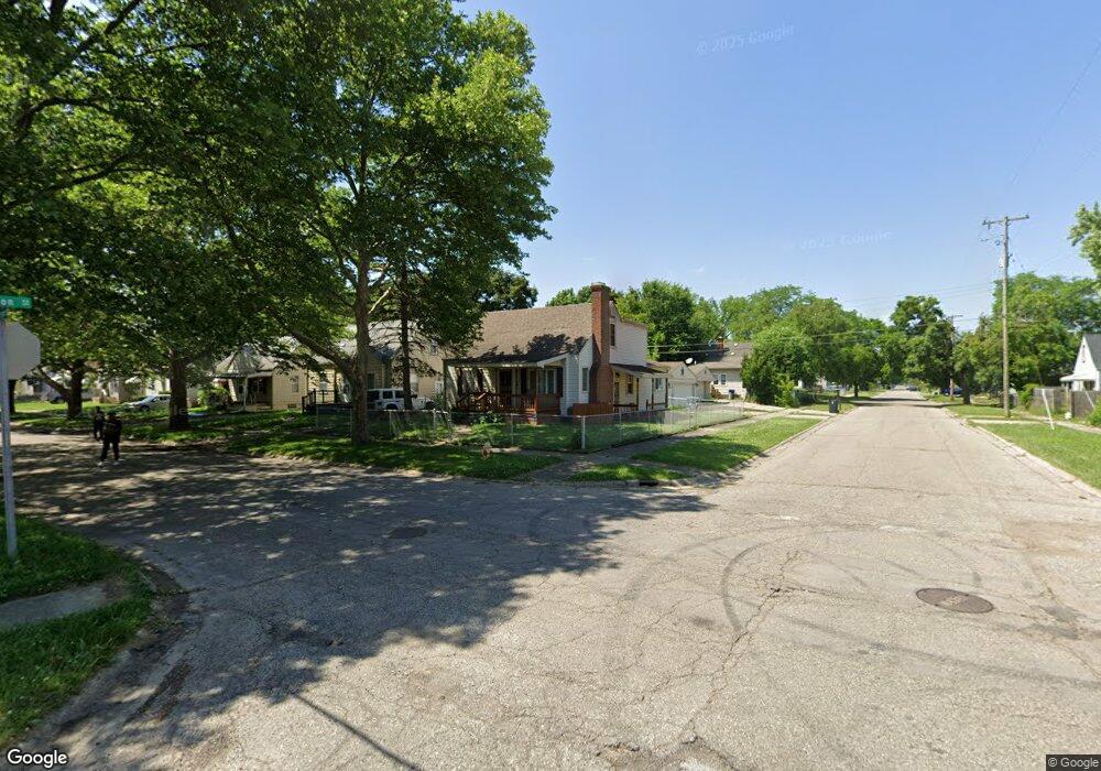
702 Huron St Flint, MI 48507
South Side NeighborhoodEstimated Value: $78,000 - $100,000
4
Beds
2
Baths
1,399
Sq Ft
$62/Sq Ft
Est. Value
About This Home
This home is located at 702 Huron St, Flint, MI 48507 and is currently estimated at $87,389, approximately $62 per square foot. 702 Huron St is a home located in Genesee County with nearby schools including Neithercut Elementary School, Flint Southwestern Classical Academy, and International Academy of Flint (K-12).
Ownership History
Date
Name
Owned For
Owner Type
Purchase Details
Closed on
Nov 30, 2009
Sold by
Donovan Shaun and Secretary Of Housing & Urban D
Bought by
Williams Leonard K
Current Estimated Value
Purchase Details
Closed on
Aug 25, 2009
Sold by
Citimortgage Inc
Bought by
Secretary Of Housing & Urban Development
Purchase Details
Closed on
Dec 17, 2008
Sold by
Seymour James H and Seymour Delia F
Bought by
Citimortgage Inc
Purchase Details
Closed on
Dec 30, 1998
Sold by
Bozek K L
Bought by
Seymour James H and Seymour Delia F
Create a Home Valuation Report for This Property
The Home Valuation Report is an in-depth analysis detailing your home's value as well as a comparison with similar homes in the area
Home Values in the Area
Average Home Value in this Area
Purchase History
| Date | Buyer | Sale Price | Title Company |
|---|---|---|---|
| Williams Leonard K | $25,138 | None Available | |
| Secretary Of Housing & Urban Development | -- | None Available | |
| Citimortgage Inc | $121,265 | None Available | |
| Seymour James H | $65,000 | Cislo Title Company |
Source: Public Records
Tax History
| Year | Tax Paid | Tax Assessment Tax Assessment Total Assessment is a certain percentage of the fair market value that is determined by local assessors to be the total taxable value of land and additions on the property. | Land | Improvement |
|---|---|---|---|---|
| 2025 | $1,060 | $33,200 | $0 | $0 |
| 2024 | $958 | $30,400 | $0 | $0 |
| 2023 | $939 | $22,900 | $0 | $0 |
| 2022 | $0 | $21,400 | $0 | $0 |
| 2021 | $978 | $18,800 | $0 | $0 |
| 2020 | $880 | $17,500 | $0 | $0 |
| 2019 | $856 | $13,900 | $0 | $0 |
| 2018 | $861 | $15,400 | $0 | $0 |
| 2017 | $836 | $0 | $0 | $0 |
| 2016 | $831 | $0 | $0 | $0 |
| 2015 | -- | $0 | $0 | $0 |
| 2014 | -- | $0 | $0 | $0 |
| 2012 | -- | $16,300 | $0 | $0 |
Source: Public Records
Map
Nearby Homes
- 612 Clinton St
- 805 Alvord Ave
- 806 Alvord Ave
- 829 Clinton St
- 652 Crawford St
- 845 Alvord Ave
- 1216 E Hemphill Rd
- 912 Huron St
- 822 Campbell St
- 846 W Hemphill Rd
- 738 W Atherton Rd
- 3902 Brunswick Ave
- 3902 Cuthbertson St
- 1219 Norton St
- 1015 Alvord Ave
- 1028 Campbell St
- 1122 Markham St
- 805 Vermilya Ave
- 825 Vermilya Ave
- 1210 Pinehurst Ave
Your Personal Tour Guide
Ask me questions while you tour the home.