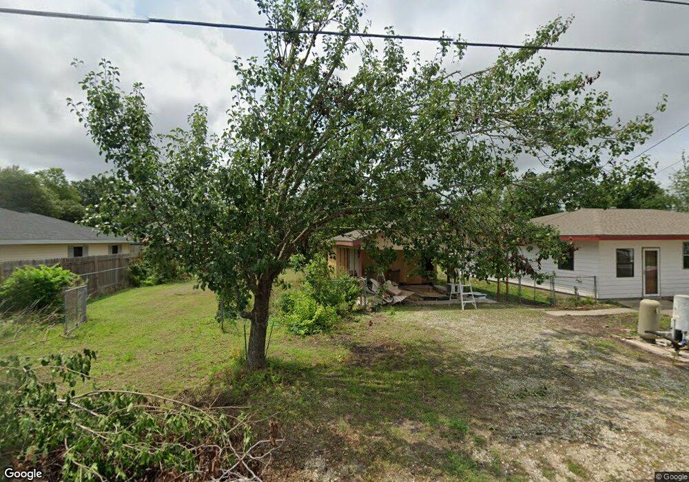
702 Manuel Rd Unit Rd. Lake Charles, LA 70607
Estimated Value: $149,000 - $169,000
3
Beds
2
Baths
1,962
Sq Ft
$81/Sq Ft
Est. Value
About This Home
This home is located at 702 Manuel Rd Unit Rd., Lake Charles, LA 70607 and is currently estimated at $159,769, approximately $81 per square foot. 702 Manuel Rd Unit Rd. is a home located in Calcasieu Parish with nearby schools including M.J. Kaufman Elementary School, Center Elementary School, and F.K. White Middle School.
Ownership History
Date
Name
Owned For
Owner Type
Purchase Details
Closed on
Aug 23, 2024
Sold by
Barrett Braedon James and Barrett Jennifer Susan
Bought by
Ryals Mott Ashlea and Nikoal Mott Ashlea
Current Estimated Value
Home Financials for this Owner
Home Financials are based on the most recent Mortgage that was taken out on this home.
Original Mortgage
$167,887
Outstanding Balance
$165,994
Interest Rate
6.89%
Mortgage Type
FHA
Estimated Equity
-$6,225
Purchase Details
Closed on
Mar 5, 2024
Sold by
Alan Shaw Scott and Baker Lisa
Bought by
Barrett Braedon James and Mcclendon Barrett Jennifer
Home Financials for this Owner
Home Financials are based on the most recent Mortgage that was taken out on this home.
Original Mortgage
$104,680
Interest Rate
6.69%
Mortgage Type
New Conventional
Purchase Details
Closed on
May 20, 2007
Sold by
Fralick John Chadwick and Fralick Alyece Marie
Bought by
Shaw Scott Alan and Shaw Lisa Ann
Create a Home Valuation Report for This Property
The Home Valuation Report is an in-depth analysis detailing your home's value as well as a comparison with similar homes in the area
Home Values in the Area
Average Home Value in this Area
Purchase History
| Date | Buyer | Sale Price | Title Company |
|---|---|---|---|
| Ryals Mott Ashlea | $175,000 | Ironclad Title | |
| Barrett Braedon James | $52,000 | None Listed On Document | |
| Shaw Scott Alan | $56,500 | None Available |
Source: Public Records
Mortgage History
| Date | Status | Borrower | Loan Amount |
|---|---|---|---|
| Open | Ryals Mott Ashlea | $167,887 | |
| Previous Owner | Barrett Braedon James | $104,680 |
Source: Public Records
Tax History Compared to Growth
Tax History
| Year | Tax Paid | Tax Assessment Tax Assessment Total Assessment is a certain percentage of the fair market value that is determined by local assessors to be the total taxable value of land and additions on the property. | Land | Improvement |
|---|---|---|---|---|
| 2024 | $676 | $6,290 | $1,220 | $5,070 |
| 2023 | $695 | $6,290 | $1,220 | $5,070 |
| 2022 | $695 | $6,290 | $1,220 | $5,070 |
| 2021 | $0 | $6,290 | $1,220 | $5,070 |
| 2020 | $646 | $5,730 | $1,170 | $4,560 |
| 2019 | $702 | $6,200 | $1,130 | $5,070 |
| 2018 | $636 | $6,200 | $1,130 | $5,070 |
| 2017 | $707 | $6,200 | $1,130 | $5,070 |
| 2016 | $712 | $6,200 | $1,130 | $5,070 |
| 2015 | $636 | $6,200 | $1,130 | $5,070 |
Source: Public Records
Map
Nearby Homes
- 5728 Common St
- 813 Weeks Ln
- 802 Sundale Dr
- 5924 Common St
- 725 Murbelle Rd
- 0 Murbelle Rd
- 0 Tallow Rd Unit SWL24005610
- 421 & 423 Broussard Ln Ln
- 404 Arabie Rd
- 878 Link Rd
- TBD Arabie Rd
- 0 Arabie Rd Unit SWL25003336
- 812 Alan Rd
- 312 Arabie Rd
- 0 Petro Point Dr
- 0 Link Rd Unit SWL24005611
- 0 W Hebert Rd
- 832 Desoto St
- 714 Rampart St
- 334 Cobb Rd