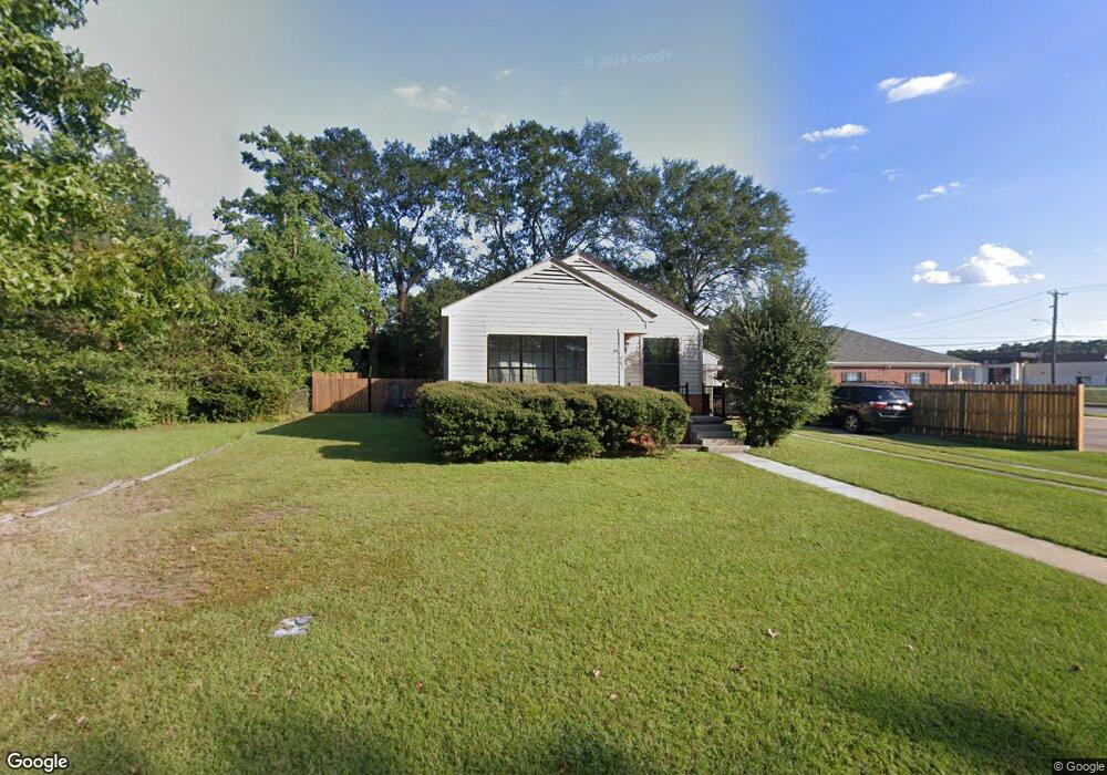
702 Martha St Lufkin, TX 75901
Estimated Value: $114,777 - $132,000
Studio
5
Baths
1,190
Sq Ft
$104/Sq Ft
Est. Value
About This Home
This home is located at 702 Martha St, Lufkin, TX 75901 and is currently estimated at $124,194, approximately $104 per square foot. 702 Martha St is a home located in Angelina County with nearby schools including Kurth Primary School, Anderson Elementary School, and Lufkin Middle School.
Ownership History
Date
Name
Owned For
Owner Type
Purchase Details
Closed on
Aug 23, 2005
Sold by
Alamo Maximo and Alamo Josephine
Bought by
Gonzalez Jose
Current Estimated Value
Home Financials for this Owner
Home Financials are based on the most recent Mortgage that was taken out on this home.
Original Mortgage
$52,200
Outstanding Balance
$27,333
Interest Rate
5.61%
Mortgage Type
New Conventional
Estimated Equity
$96,861
Create a Home Valuation Report for This Property
The Home Valuation Report is an in-depth analysis detailing your home's value as well as a comparison with similar homes in the area
Purchase History
| Date | Buyer | Sale Price | Title Company |
|---|---|---|---|
| Gonzalez Jose | $52,500 | None Available |
Source: Public Records
Mortgage History
| Date | Status | Borrower | Loan Amount |
|---|---|---|---|
| Open | Gonzalez Jose | $52,200 |
Source: Public Records
Tax History
| Year | Tax Paid | Tax Assessment Tax Assessment Total Assessment is a certain percentage of the fair market value that is determined by local assessors to be the total taxable value of land and additions on the property. | Land | Improvement |
|---|---|---|---|---|
| 2025 | $1,759 | $84,180 | $9,820 | $74,360 |
| 2024 | $1,715 | $83,320 | $9,820 | $73,500 |
| 2023 | $1,483 | $81,950 | $9,820 | $72,130 |
| 2022 | $1,545 | $68,910 | $4,070 | $64,840 |
| 2021 | $1,519 | $62,420 | $4,070 | $58,350 |
| 2020 | $1,378 | $56,060 | $4,070 | $51,990 |
| 2019 | $1,457 | $56,060 | $4,070 | $51,990 |
| 2018 | $934 | $54,170 | $4,070 | $50,100 |
| 2017 | $934 | $51,900 | $4,070 | $47,830 |
| 2016 | $1,216 | $51,020 | $4,070 | $46,950 |
| 2015 | $933 | $51,020 | $4,070 | $46,950 |
| 2014 | $933 | $49,730 | $6,280 | $43,450 |
Source: Public Records
Map
Nearby Homes
- 509 Ward St
- 301 Cunningham Dr
- 1302 Myrna Ave
- PID 45360 S 3rd St
- 115 Ward St
- 107 W Kerr Ave
- 211 House St
- 619 Shadywood Dr
- 1901 S 1st St
- 1505 S Chestnut St Unit 1509
- 808 Cunningham Dr
- 313 Hunters Creek Dr
- 328 Sunset Blvd
- 421 House St
- 0 Tulane Dr
- 304 Lee Ln
- 606 Englewood Dr
- 108 Everwood Ct
- 404 Dogwood Trail
- 1370 Evans-Gann Rd
Your Personal Tour Guide
Ask me questions while you tour the home.