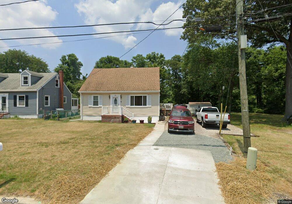
702 Meadowbrook Rd Glen Burnie, MD 21061
Estimated Value: $311,000 - $398,000
--
Bed
2
Baths
1,347
Sq Ft
$257/Sq Ft
Est. Value
About This Home
This home is located at 702 Meadowbrook Rd, Glen Burnie, MD 21061 and is currently estimated at $346,733, approximately $257 per square foot. 702 Meadowbrook Rd is a home located in Anne Arundel County with nearby schools including Richard Henry Lee Elementary School, Corkran Middle School, and Glen Burnie High School.
Ownership History
Date
Name
Owned For
Owner Type
Purchase Details
Closed on
Mar 10, 2003
Sold by
Broadwater D Christopher
Bought by
Broadwater D Christopher and Broadwater Amy L
Current Estimated Value
Purchase Details
Closed on
Nov 12, 1991
Sold by
Broadwater D Christopher
Bought by
Broadwater D Christopher
Home Financials for this Owner
Home Financials are based on the most recent Mortgage that was taken out on this home.
Original Mortgage
$62,900
Interest Rate
8.76%
Create a Home Valuation Report for This Property
The Home Valuation Report is an in-depth analysis detailing your home's value as well as a comparison with similar homes in the area
Home Values in the Area
Average Home Value in this Area
Purchase History
| Date | Buyer | Sale Price | Title Company |
|---|---|---|---|
| Broadwater D Christopher | -- | -- | |
| Broadwater D Christopher | $15,000 | -- |
Source: Public Records
Mortgage History
| Date | Status | Borrower | Loan Amount |
|---|---|---|---|
| Previous Owner | Broadwater D Christopher | $62,900 |
Source: Public Records
Tax History Compared to Growth
Tax History
| Year | Tax Paid | Tax Assessment Tax Assessment Total Assessment is a certain percentage of the fair market value that is determined by local assessors to be the total taxable value of land and additions on the property. | Land | Improvement |
|---|---|---|---|---|
| 2025 | $2,595 | $296,300 | $158,200 | $138,100 |
| 2024 | $2,595 | $279,833 | $0 | $0 |
| 2023 | $2,508 | $263,367 | $0 | $0 |
| 2022 | $2,330 | $246,900 | $126,300 | $120,600 |
| 2021 | $4,591 | $244,233 | $0 | $0 |
| 2020 | $2,220 | $241,567 | $0 | $0 |
| 2019 | $2,188 | $238,900 | $116,300 | $122,600 |
| 2018 | $2,389 | $235,633 | $0 | $0 |
| 2017 | $2,073 | $232,367 | $0 | $0 |
| 2016 | -- | $229,100 | $0 | $0 |
| 2015 | -- | $227,933 | $0 | $0 |
| 2014 | -- | $226,767 | $0 | $0 |
Source: Public Records
Map
Nearby Homes
- 625 Newfield Rd
- 618 Stewart Ave
- 605 Newfield Rd
- 420 Lincoln Ave SW
- 911 Meadowbrook Rd
- 611 Glenview Ave
- 903 Jay Ct
- 209 Lincoln Ave SW
- 207 Lincoln Ave SW
- 318 Washington Blvd
- 320 Washington Blvd
- 418 Rose Ave
- 107 Main Ave SW
- 19 Main Ave SW
- 201 Central Ave
- 108 1st Ave SW
- 255 Truck Farm Dr
- 267 Truck Farm Dr
- 118 Heather Stone Way Unit 80
- 120 Kindred Way
- 704 Meadowbrook Rd
- 706 Meadowbrook Rd
- 700 Meadowbrook Rd
- 401 Magnolia Rd
- 453 Meadowbrook Rd
- 451 Meadowbrook Rd
- 800 Meadowbrook Rd
- 608 Meadowbrook Rd
- 403 Magnolia Rd
- 802 Meadowbrook Rd
- 623 Newfield Rd
- 405 Magnolia Rd
- 606 Meadowbrook Rd
- 804 Meadowbrook Rd
- 404 Magnolia Rd
- 621 Newfield Rd
- 407 Magnolia Rd
- 806 Meadowbrook Rd
- 622 Newfield Rd
- 605 Meadowbrook Rd