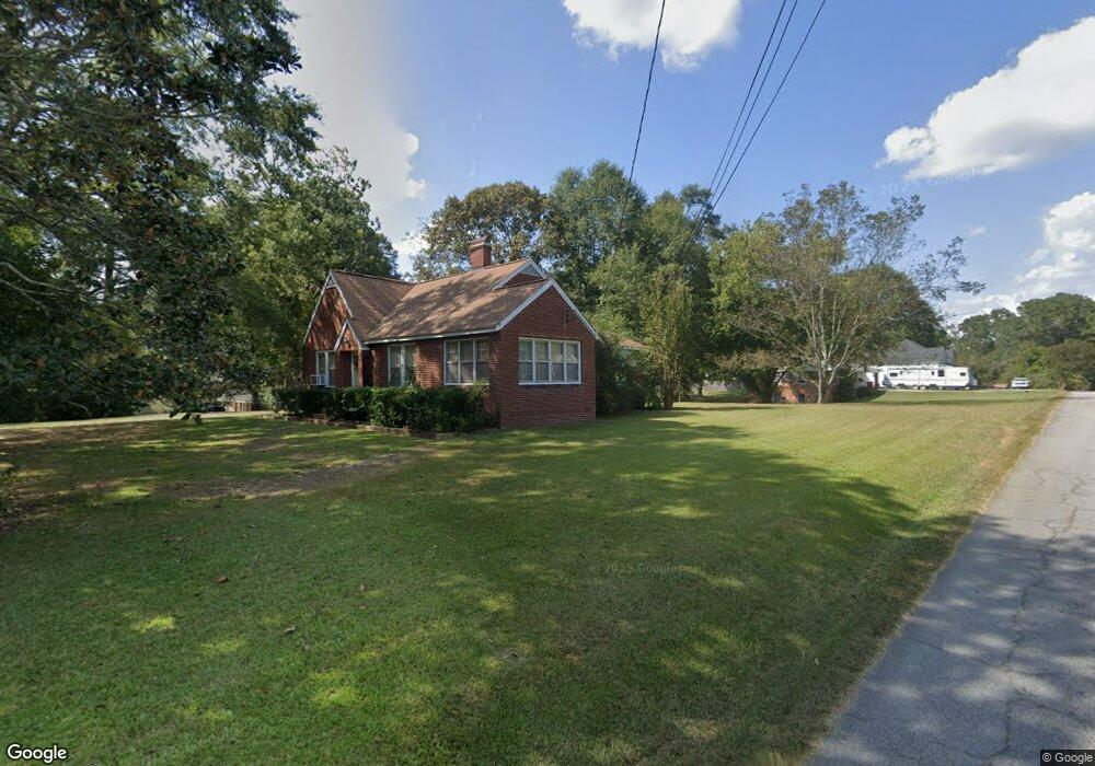
702 Mitchell Ave Bowdon, GA 30108
Estimated Value: $208,000 - $249,000
3
Beds
1
Bath
1,626
Sq Ft
$136/Sq Ft
Est. Value
About This Home
This home is located at 702 Mitchell Ave, Bowdon, GA 30108 and is currently estimated at $221,025, approximately $135 per square foot. 702 Mitchell Ave is a home located in Carroll County with nearby schools including Bowdon Elementary School, Bowdon Middle School, and Bowdon High School.
Ownership History
Date
Name
Owned For
Owner Type
Purchase Details
Closed on
Oct 14, 2015
Sold by
Sims Samantha S
Bought by
Sims Kristen and Knowles Kendra
Current Estimated Value
Purchase Details
Closed on
Jul 26, 2003
Sold by
Sims Anthony P
Bought by
Sims Samantha S
Purchase Details
Closed on
Oct 5, 1990
Bought by
Sims
Create a Home Valuation Report for This Property
The Home Valuation Report is an in-depth analysis detailing your home's value as well as a comparison with similar homes in the area
Home Values in the Area
Average Home Value in this Area
Purchase History
| Date | Buyer | Sale Price | Title Company |
|---|---|---|---|
| Sims Kristen | -- | -- | |
| Sims Samantha S | -- | -- | |
| Sims | $50,000 | -- |
Source: Public Records
Tax History
| Year | Tax Paid | Tax Assessment Tax Assessment Total Assessment is a certain percentage of the fair market value that is determined by local assessors to be the total taxable value of land and additions on the property. | Land | Improvement |
|---|---|---|---|---|
| 2025 | $1,574 | $63,463 | $11,272 | $52,191 |
| 2024 | $1,596 | $63,463 | $11,272 | $52,191 |
| 2023 | $1,596 | $58,740 | $11,272 | $47,468 |
| 2022 | $1,221 | $41,542 | $7,525 | $34,017 |
| 2021 | $1,060 | $34,844 | $5,574 | $29,270 |
| 2020 | $970 | $31,922 | $5,574 | $26,348 |
| 2019 | $908 | $29,684 | $5,574 | $24,110 |
| 2018 | $834 | $26,944 | $5,574 | $21,370 |
| 2017 | $835 | $26,944 | $5,574 | $21,370 |
| 2016 | $1,141 | $38,437 | $5,574 | $32,863 |
| 2015 | $768 | $24,067 | $7,167 | $16,900 |
| 2014 | $772 | $24,067 | $7,167 | $16,900 |
Source: Public Records
Map
Nearby Homes
- 714 Yates Rd
- 110 Bartlett Cir
- 0 Bartlett Cir Unit 10666514
- 301 Angela Ave Unit 8
- 301 Angela Ave
- 309 Angela Ave
- 309 Angela Ave Unit 6
- Plan 1826 at Park Place
- Plan 2421 at Park Place
- Plan 2316 at Park Place
- Plan 2100 at Park Place
- Plan 1709 at Park Place
- Plan 2328 at Park Place
- Plan 2030 at Park Place
- Plan 1902 at Park Place
- Plan 2239 at Park Place
- 255 Eason St Unit 10
- 255 Eason St
- 101 Winding Road - Lot 1a & 1b & Lot 2
- 313 Ellenwood Dr
- 134 Kuglar St
- 636 Mitchell Ave
- 139 Kuglar St
- 137 Kuglar St
- 639 Mitchell Ave
- 213 Lipham St
- 130 Kuglar St
- 204 Lipham St
- 133 Kuglar St
- 633 Mitchell Ave
- 143 Forest Hill Rd
- 126 Kuglar St
- 626 Mitchell Ave
- 206 Lipham St
- 625 Mitchell Ave
- 142 Forest Hill Rd
- 122 Kuglar St
- 133 Forest Hill Rd
- 133 Forest Hill Rd Unit 10 & 11
- 143 Kuglar St