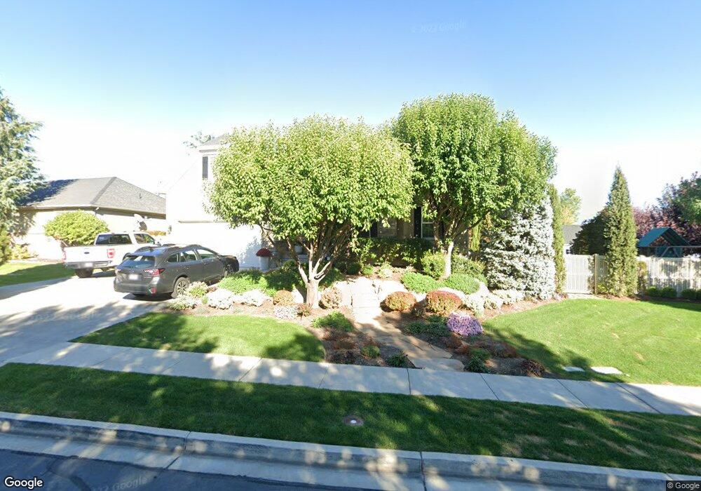
702 N 600 W American Fork, UT 84003
Estimated Value: $608,000 - $808,000
4
Beds
3
Baths
3,429
Sq Ft
$201/Sq Ft
Est. Value
About This Home
This home is located at 702 N 600 W, American Fork, UT 84003 and is currently estimated at $688,531, approximately $200 per square foot. 702 N 600 W is a home located in Utah County with nearby schools including Shelley Elementary School, American Fork Junior High School, and American Fork High School.
Ownership History
Date
Name
Owned For
Owner Type
Purchase Details
Closed on
Apr 26, 2008
Sold by
Whipple Joshua N and Whipple Ambur M
Bought by
Sharp Trevor G and Sharp Rebecca H
Current Estimated Value
Home Financials for this Owner
Home Financials are based on the most recent Mortgage that was taken out on this home.
Original Mortgage
$260,000
Outstanding Balance
$164,657
Interest Rate
5.88%
Mortgage Type
Purchase Money Mortgage
Estimated Equity
$523,874
Purchase Details
Closed on
Dec 20, 2005
Sold by
All American Development & Const Ii Llc
Bought by
Heiner John D and Heiner Melanie
Purchase Details
Closed on
Nov 17, 2005
Sold by
L P I Lc
Bought by
All American Development & Const Ii Llc
Purchase Details
Closed on
Aug 22, 2005
Sold by
Legacy Properties & Investments Lc
Bought by
All American Development & Const Ii Llc
Home Financials for this Owner
Home Financials are based on the most recent Mortgage that was taken out on this home.
Original Mortgage
$165,000
Interest Rate
5.56%
Mortgage Type
Construction
Create a Home Valuation Report for This Property
The Home Valuation Report is an in-depth analysis detailing your home's value as well as a comparison with similar homes in the area
Home Values in the Area
Average Home Value in this Area
Purchase History
| Date | Buyer | Sale Price | Title Company |
|---|---|---|---|
| Sharp Trevor G | -- | Charger Title | |
| Heiner John D | -- | First American Title Co | |
| All American Development & Const Ii Llc | -- | First American Title Co | |
| All American Development & Const Ii Llc | -- | First American Title Agency |
Source: Public Records
Mortgage History
| Date | Status | Borrower | Loan Amount |
|---|---|---|---|
| Open | Sharp Trevor G | $260,000 | |
| Previous Owner | All American Development & Const Ii Llc | $165,000 |
Source: Public Records
Tax History Compared to Growth
Tax History
| Year | Tax Paid | Tax Assessment Tax Assessment Total Assessment is a certain percentage of the fair market value that is determined by local assessors to be the total taxable value of land and additions on the property. | Land | Improvement |
|---|---|---|---|---|
| 2025 | $2,724 | $338,525 | $223,500 | $392,000 |
| 2024 | $2,724 | $302,665 | $0 | $0 |
| 2023 | $2,556 | $301,070 | $0 | $0 |
| 2022 | $2,915 | $338,910 | $0 | $0 |
| 2021 | $2,505 | $454,800 | $160,400 | $294,400 |
| 2020 | $2,347 | $413,300 | $143,200 | $270,100 |
| 2019 | $2,184 | $397,800 | $132,500 | $265,300 |
| 2018 | $2,044 | $356,000 | $125,300 | $230,700 |
| 2017 | $1,978 | $185,955 | $0 | $0 |
| 2016 | $1,949 | $170,225 | $0 | $0 |
| 2015 | $2,042 | $169,235 | $0 | $0 |
| 2014 | $1,893 | $154,770 | $0 | $0 |
Source: Public Records
Map
Nearby Homes
- 641 N 420 W
- 602 W 860 N
- 962 N 780 St W Unit 508
- 974 N 780 St W Unit 509
- 916 N 780 St W Unit 501
- 822 W 800 St N Unit LOT319
- 822 N 860 W Unit 317
- 914 N 400 W Unit A
- 987 N 410 W
- 3889 W 950 Cir N Unit 366
- 777 W State Rd
- 540 N 300 W
- 356 N 480 W
- 471 W 1040 N
- 3935 W 1000 N Unit 438
- 3983 W 1000 N Unit 442
- 4007 W 1000 N
- 3947 W 1000 N Unit 439
- 3959 W 1000 N
- 984 N 300 W