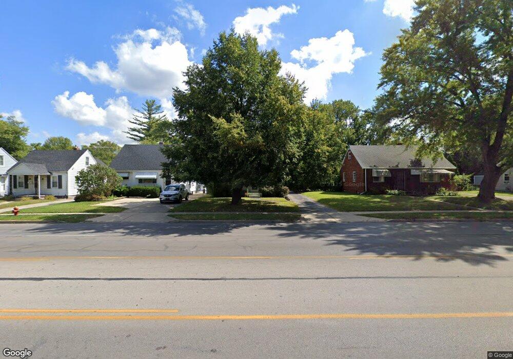
702 N Byrne Rd Toledo, OH 43607
Scott Park NeighborhoodEstimated Value: $109,000 - $154,000
3
Beds
2
Baths
1,326
Sq Ft
$93/Sq Ft
Est. Value
About This Home
This home is located at 702 N Byrne Rd, Toledo, OH 43607 and is currently estimated at $123,643, approximately $93 per square foot. 702 N Byrne Rd is a home located in Lucas County with nearby schools including Keyser Elementary School, Rogers High School, and Victory Academy of Toledo.
Ownership History
Date
Name
Owned For
Owner Type
Purchase Details
Closed on
Mar 3, 2016
Sold by
Austin Charlotte and Brassfield Robert E
Bought by
Brassfield Charlotte and Brassfield Robert E
Current Estimated Value
Purchase Details
Closed on
May 5, 1995
Sold by
Hamill Patrick J
Bought by
Austin Charlotte
Home Financials for this Owner
Home Financials are based on the most recent Mortgage that was taken out on this home.
Original Mortgage
$38,060
Interest Rate
8.43%
Mortgage Type
New Conventional
Purchase Details
Closed on
Jan 22, 1991
Sold by
Peterson Frances M #
Purchase Details
Closed on
Oct 1, 1990
Sold by
Davis Flossie Mae
Purchase Details
Closed on
Apr 26, 1990
Sold by
Davis Willie W and Davis Flossie
Create a Home Valuation Report for This Property
The Home Valuation Report is an in-depth analysis detailing your home's value as well as a comparison with similar homes in the area
Home Values in the Area
Average Home Value in this Area
Purchase History
| Date | Buyer | Sale Price | Title Company |
|---|---|---|---|
| Brassfield Charlotte | -- | None Available | |
| Austin Charlotte | $37,600 | -- | |
| -- | $33,300 | -- | |
| -- | -- | -- | |
| -- | -- | -- |
Source: Public Records
Mortgage History
| Date | Status | Borrower | Loan Amount |
|---|---|---|---|
| Closed | Austin Charlotte | $38,060 |
Source: Public Records
Tax History Compared to Growth
Tax History
| Year | Tax Paid | Tax Assessment Tax Assessment Total Assessment is a certain percentage of the fair market value that is determined by local assessors to be the total taxable value of land and additions on the property. | Land | Improvement |
|---|---|---|---|---|
| 2024 | $665 | $20,580 | $5,915 | $14,665 |
| 2023 | $1,377 | $20,650 | $3,220 | $17,430 |
| 2022 | $1,377 | $20,650 | $3,220 | $17,430 |
| 2021 | $1,404 | $20,650 | $3,220 | $17,430 |
| 2020 | $1,520 | $19,775 | $3,045 | $16,730 |
| 2019 | $1,473 | $19,775 | $3,045 | $16,730 |
| 2018 | $1,486 | $19,775 | $3,045 | $16,730 |
| 2017 | $1,517 | $19,320 | $2,975 | $16,345 |
| 2016 | $1,515 | $55,200 | $8,500 | $46,700 |
| 2015 | $1,499 | $55,200 | $8,500 | $46,700 |
| 2014 | $1,216 | $19,330 | $2,980 | $16,350 |
| 2013 | $1,216 | $19,330 | $2,980 | $16,350 |
Source: Public Records
Map
Nearby Homes
- 710 N Byrne Rd
- 615 Cuthbert Rd
- 802 Cuthbert Rd
- 820 MacKow Dr
- 735 Southbriar Rd
- 539 Independence Rd
- 826 Ranch Dr
- 326 Independence Rd
- 1117 Broer Ave
- 4111 Kingsley Ct
- 3614 Edgevale Rd
- 2013 Bretton Place
- 4248 Hunters Trail Dr
- 4229 Wickford Point Dr
- 3205 Kylemore Rd
- 4345 Foxchapel Rd
- 3155 Kylemore Rd
- 4132 Redondo Ave
- 3305 W Bancroft St
- 3925 Hillandale Rd