Estimated Value: $99,000 - $376,409
--
Bed
--
Bath
--
Sq Ft
0.66
Acres
About This Home
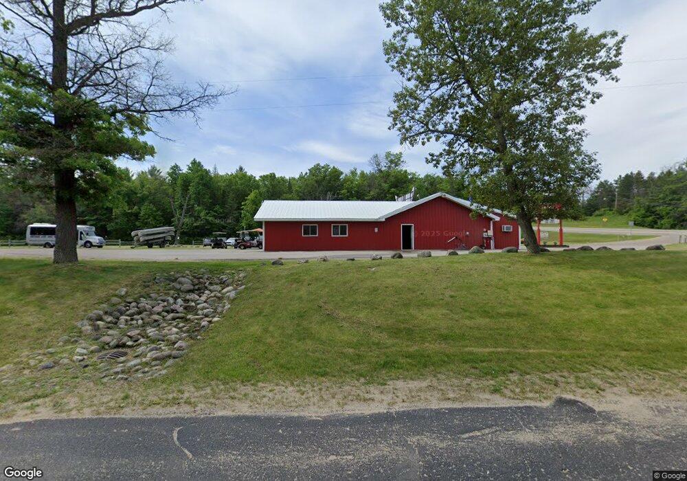
This home is located at 702 N Morenci Ave, Mio, MI 48647 and is currently estimated at $237,705. 702 N Morenci Ave is a home with nearby schools including Mio-Ausable Elementary School, Mio-Ausable High School, and Mio Adventist School.
Ownership History
Date
Name
Owned For
Owner Type
Purchase Details
Closed on
May 1, 2025
Sold by
K & C Hinchman Acres Resort In
Bought by
Hinchman Holdings Llc
Current Estimated Value
Home Financials for this Owner
Home Financials are based on the most recent Mortgage that was taken out on this home.
Original Mortgage
$662,500
Outstanding Balance
$655,856
Interest Rate
0.68%
Mortgage Type
Construction
Estimated Equity
-$418,151
Purchase Details
Closed on
Jul 21, 2017
Sold by
B & B Acres Llc
Bought by
Thompson Craig A and Thompson Kimberly A
Create a Home Valuation Report for This Property
The Home Valuation Report is an in-depth analysis detailing your home's value as well as a comparison with similar homes in the area
Home Values in the Area
Average Home Value in this Area
Purchase History
| Date | Buyer | Sale Price | Title Company |
|---|---|---|---|
| Hinchman Holdings Llc | $1,325,000 | Transnation Title Agcy/Mi | |
| Thompson Craig A | $204,100 | Oscoda Cnty Abs Inc |
Source: Public Records
Mortgage History
| Date | Status | Borrower | Loan Amount |
|---|---|---|---|
| Open | Hinchman Holdings Llc | $662,500 | |
| Closed | Hinchman Holdings Llc | $397,500 |
Source: Public Records
Tax History Compared to Growth
Tax History
| Year | Tax Paid | Tax Assessment Tax Assessment Total Assessment is a certain percentage of the fair market value that is determined by local assessors to be the total taxable value of land and additions on the property. | Land | Improvement |
|---|---|---|---|---|
| 2025 | $2,953 | $193,700 | $0 | $0 |
| 2024 | $2,953 | $189,500 | $0 | $0 |
| 2023 | $1,751 | $161,200 | $0 | $0 |
| 2022 | $1,616 | $140,300 | $0 | $0 |
| 2021 | $2,570 | $126,500 | $0 | $0 |
| 2020 | $2,590 | $122,200 | $0 | $0 |
| 2019 | $2,469 | $110,300 | $0 | $0 |
| 2018 | $1,648 | $101,300 | $0 | $0 |
| 2017 | $1,399 | $102,000 | $0 | $0 |
| 2016 | $1,898 | $85,000 | $0 | $0 |
| 2014 | $1,982 | $89,200 | $0 | $0 |
| 2011 | -- | $88,200 | $0 | $0 |
Source: Public Records
Map
Nearby Homes
- 0 Stitt Ln Unit 201835231
- 824 Stitt Ln
- 302 S Vine St
- 201 Nolan St
- 315 Nolan St
- 1420 S Mount Tom Rd
- 503 Frick St
- 1330 S Mt Tom Rd
- 1505 W 8th St
- 225 Popps Rd
- 237 Popps Rd
- 335 Wilcox Dr
- 67 and 68 Jackpine Loop
- 267 W Cherry Creek Rd
- 687 Harbor View Dr
- 1013 Kann Way
- 433 Thompson Rd
- 186 S Gerber Rd
- 1117 Wildwood Trail
- 0 S Mt Tom Rd Unit 201835291
- 407 Pfc Jason Wright St
- 384 Wilcox Dr
- 413 Pfc Jason Wright St
- 407 Legion St
- 400 Pfc Jason Wright St
- 308 Pfc Jason Wright St
- 215 Pfc Jason Wright St
- 404 Pfc Jason Wright St
- 207 Pfc Jason Wright St
- 503 Pfc Jason Wright St
- 606 N Court St
- 405 E 4th St
- 506 N Cass St
- 333 E 4th St
- 408 E 4th St
- 410 N Cass St
- 304 E 4th St
- 147 Michigan 33
- 408 Spruce St
- 405 E 5th St