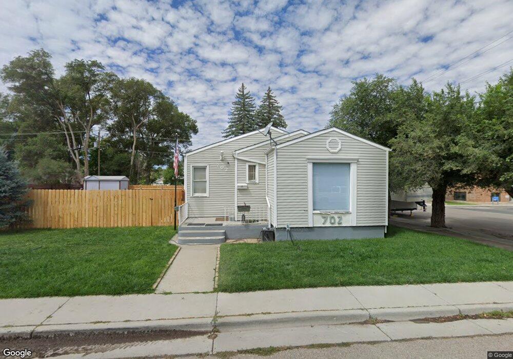
702 Pennsylvania Ave Unit D St Rock Springs, WY 82901
Estimated Value: $241,000 - $280,842
3
Beds
2
Baths
2,397
Sq Ft
$106/Sq Ft
Est. Value
About This Home
This home is located at 702 Pennsylvania Ave Unit D St, Rock Springs, WY 82901 and is currently estimated at $254,947, approximately $106 per square foot. 702 Pennsylvania Ave Unit D St is a home located in Sweetwater County with nearby schools including Walnut Elementary School, Rock Springs Junior High School, and Rock Springs High School.
Ownership History
Date
Name
Owned For
Owner Type
Purchase Details
Closed on
Dec 4, 2015
Sold by
Nelson David F and Nelson Tracy A
Bought by
Sanchez Toni
Current Estimated Value
Home Financials for this Owner
Home Financials are based on the most recent Mortgage that was taken out on this home.
Original Mortgage
$179,900
Outstanding Balance
$141,985
Interest Rate
3.81%
Mortgage Type
VA
Estimated Equity
$112,962
Create a Home Valuation Report for This Property
The Home Valuation Report is an in-depth analysis detailing your home's value as well as a comparison with similar homes in the area
Home Values in the Area
Average Home Value in this Area
Purchase History
| Date | Buyer | Sale Price | Title Company |
|---|---|---|---|
| Sanchez Toni | $176,402 | -- |
Source: Public Records
Mortgage History
| Date | Status | Borrower | Loan Amount |
|---|---|---|---|
| Open | Sanchez Toni | $179,900 |
Source: Public Records
Tax History Compared to Growth
Tax History
| Year | Tax Paid | Tax Assessment Tax Assessment Total Assessment is a certain percentage of the fair market value that is determined by local assessors to be the total taxable value of land and additions on the property. | Land | Improvement |
|---|---|---|---|---|
| 2025 | $1,426 | $17,709 | $3,117 | $14,592 |
| 2024 | $1,426 | $22,288 | $4,156 | $18,132 |
| 2023 | $1,346 | $21,591 | $4,156 | $17,435 |
| 2022 | $1,249 | $20,088 | $4,156 | $15,932 |
| 2021 | $1,150 | $18,694 | $4,156 | $14,538 |
| 2020 | $1,210 | $19,530 | $4,156 | $15,374 |
| 2019 | $1,183 | $19,289 | $4,156 | $15,133 |
| 2018 | $1,137 | $18,628 | $4,156 | $14,472 |
| 2017 | $1,129 | $18,447 | $4,156 | $14,291 |
| 2015 | -- | $14,029 | $0 | $0 |
| 2014 | -- | $13,826 | $0 | $0 |
Source: Public Records
Map
Nearby Homes
- 1104 New Hampshire St
- 804 Connecticut Ave
- 922 New Hampshire St
- 820 Connecticut Ave
- 740 Rhode Island Ave
- 1116 Wyoming St
- 1002 Wyoming St
- 506 R St
- 716 B St
- 1300 New Hampshire St
- 1210 Mccabe St
- 416 R St
- 805 Walnut St
- 413 Hay St
- 518 A St
- 1805 Carson St
- 1408 Collins St
- 220 Liberty St
- 206 R St
- 1109 Edgar St
- 702 Pennsylvania Ave
- 706 Pennsylvania Ave
- 701 Pennsylvania Ave
- 703 Pennsylvania Ave
- 710 Pennsylvania Ave
- 707 Pennsylvania Ave
- 712 Pennsylvania Ave
- 712 Pennsylvania Ave Unit Vermont
- 712 Pennsylvania Ave Unit D Street
- 709 Pennsylvania Ave
- 600 Connecticut Ave
- 732 Connecticut Ave
- 714 Pennsylvania Ave
- 711 Pennsylvania Ave
- 735 Connecticut Ave
- 735 Connecticut Ave Unit D
- 713 Pennsylvania Ave
- 716 Pennsylvania Ave
- 716 Pennsylvania Ave Unit Vermont
- 930 D St