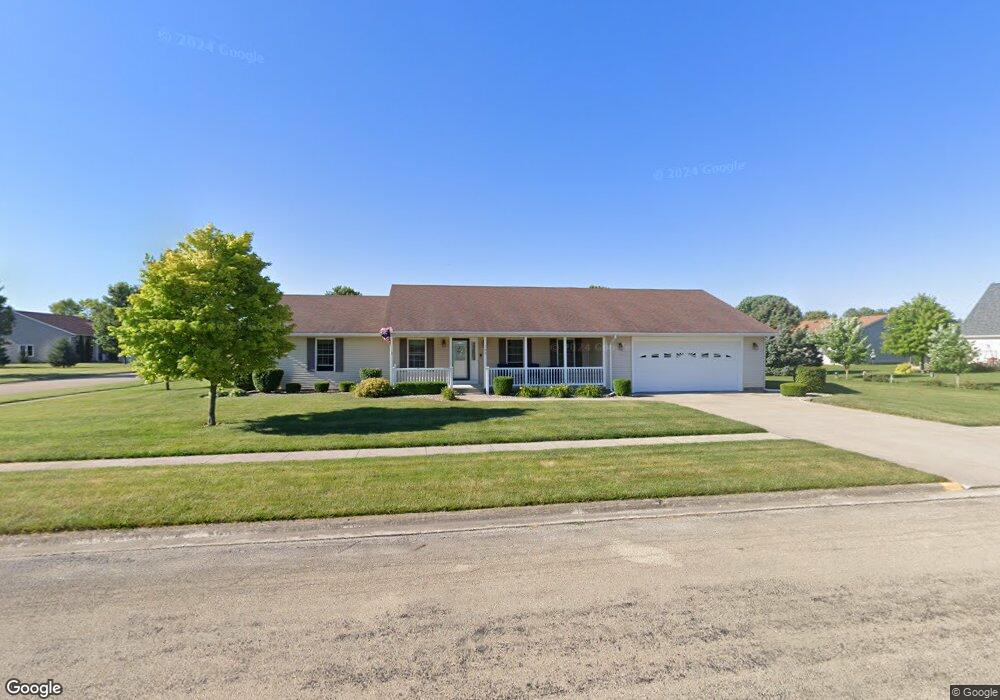
702 Pilot Dr Herscher, IL 60941
Estimated Value: $284,000 - $310,000
3
Beds
2
Baths
2,100
Sq Ft
$141/Sq Ft
Est. Value
About This Home
This home is located at 702 Pilot Dr, Herscher, IL 60941 and is currently estimated at $296,865, approximately $141 per square foot. 702 Pilot Dr is a home located in Kankakee County with nearby schools including Herscher High School.
Ownership History
Date
Name
Owned For
Owner Type
Purchase Details
Closed on
Feb 28, 2024
Sold by
Wolter Charlotte J
Bought by
Wolter Todd M and Olesuk Megan Rae
Current Estimated Value
Home Financials for this Owner
Home Financials are based on the most recent Mortgage that was taken out on this home.
Original Mortgage
$234,900
Outstanding Balance
$231,250
Interest Rate
6.99%
Mortgage Type
New Conventional
Estimated Equity
$65,615
Purchase Details
Closed on
Feb 16, 2015
Sold by
Ronald Schneider
Bought by
Wolter Wayne R and Wolter Charlotte J
Create a Home Valuation Report for This Property
The Home Valuation Report is an in-depth analysis detailing your home's value as well as a comparison with similar homes in the area
Purchase History
| Date | Buyer | Sale Price | Title Company |
|---|---|---|---|
| Wolter Todd M | $254,900 | Standard Title | |
| Wolter Wayne R | -- | Homestar Title |
Source: Public Records
Mortgage History
| Date | Status | Borrower | Loan Amount |
|---|---|---|---|
| Open | Wolter Todd M | $234,900 |
Source: Public Records
Tax History
| Year | Tax Paid | Tax Assessment Tax Assessment Total Assessment is a certain percentage of the fair market value that is determined by local assessors to be the total taxable value of land and additions on the property. | Land | Improvement |
|---|---|---|---|---|
| 2024 | $4,952 | $78,901 | $14,499 | $64,402 |
| 2023 | $4,611 | $72,713 | $13,362 | $59,351 |
| 2022 | $4,349 | $67,758 | $12,452 | $55,306 |
| 2021 | $4,217 | $64,384 | $11,832 | $52,552 |
| 2020 | $4,100 | $62,207 | $11,432 | $50,775 |
| 2019 | $3,953 | $60,103 | $11,045 | $49,058 |
| 2018 | $3,905 | $59,361 | $10,909 | $48,452 |
| 2017 | $3,790 | $57,772 | $10,617 | $47,155 |
| 2016 | $3,610 | $55,550 | $10,209 | $45,341 |
| 2015 | $3,278 | $52,754 | $9,695 | $43,059 |
| 2014 | $3,156 | $51,218 | $9,413 | $41,805 |
| 2013 | -- | $52,131 | $9,581 | $42,550 |
Source: Public Records
Map
Nearby Homes
- 464 E Pilot Dr
- 35 E Tobey Dr
- 602 N Maple St
- 597 Jeanette St
- 301 N Main St
- 476 E Kay St
- 473 E Kay St
- 567 Jeanette St
- 431/441 E Myrtle Ave
- 547 Jeanette St
- 203 N Oak St
- 343 E Walnut Ct
- 537 Jeanette St
- 290 W Kankakee Ave
- 477 Jeanette St
- 467 Jeanette St
- 457 Jeanette St
- 437 Jeanette St
- 407 Jeanette St
- 515 Tiger Ln
Your Personal Tour Guide
Ask me questions while you tour the home.