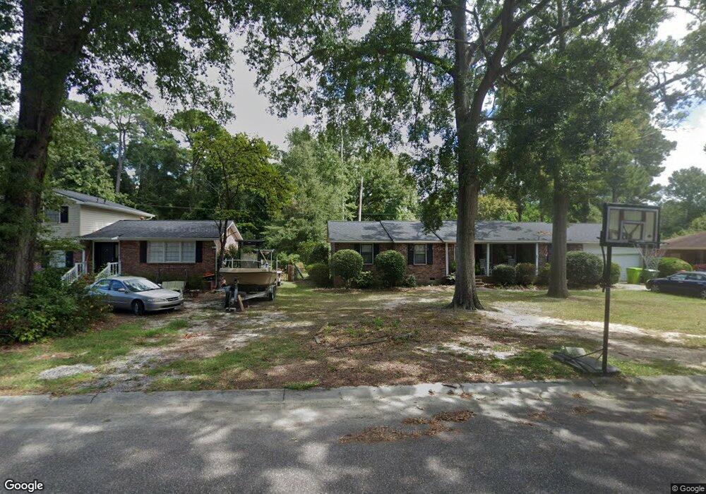
702 Planters Dr Columbia, SC 29209
The Hamptons NeighborhoodEstimated Value: $253,000 - $308,000
3
Beds
2
Baths
1,715
Sq Ft
$162/Sq Ft
Est. Value
About This Home
This home is located at 702 Planters Dr, Columbia, SC 29209 and is currently estimated at $277,730, approximately $161 per square foot. 702 Planters Dr is a home located in Richland County with nearby schools including Meadowfield Elementary School, Hand Middle School, and Dreher High School.
Ownership History
Date
Name
Owned For
Owner Type
Purchase Details
Closed on
Jan 16, 2004
Sold by
Crawford Rachel Ann and Crawford Kinlea Dianna
Bought by
Osz Shawn S and Osz Carolina J
Current Estimated Value
Home Financials for this Owner
Home Financials are based on the most recent Mortgage that was taken out on this home.
Original Mortgage
$119,828
Outstanding Balance
$55,844
Interest Rate
5.85%
Mortgage Type
VA
Estimated Equity
$221,886
Create a Home Valuation Report for This Property
The Home Valuation Report is an in-depth analysis detailing your home's value as well as a comparison with similar homes in the area
Home Values in the Area
Average Home Value in this Area
Purchase History
| Date | Buyer | Sale Price | Title Company |
|---|---|---|---|
| Osz Shawn S | -- | -- | |
| Osz Shawn S | $116,000 | -- |
Source: Public Records
Mortgage History
| Date | Status | Borrower | Loan Amount |
|---|---|---|---|
| Open | Osz Shawn S | $119,828 |
Source: Public Records
Tax History
| Year | Tax Paid | Tax Assessment Tax Assessment Total Assessment is a certain percentage of the fair market value that is determined by local assessors to be the total taxable value of land and additions on the property. | Land | Improvement |
|---|---|---|---|---|
| 2024 | $1,638 | $188,100 | $0 | $0 |
| 2023 | $1,571 | $6,540 | $0 | $0 |
| 2022 | $1,426 | $163,500 | $23,000 | $140,500 |
| 2021 | $1,431 | $6,540 | $0 | $0 |
| 2020 | $1,456 | $6,540 | $0 | $0 |
| 2019 | $1,434 | $6,540 | $0 | $0 |
| 2018 | $1,319 | $5,950 | $0 | $0 |
| 2017 | $1,289 | $5,950 | $0 | $0 |
| 2016 | $1,283 | $5,950 | $0 | $0 |
| 2015 | $1,248 | $5,950 | $0 | $0 |
| 2014 | $1,209 | $148,700 | $0 | $0 |
| 2013 | -- | $5,950 | $0 | $0 |
Source: Public Records
Map
Nearby Homes
- 759 Burnside Dr
- 423 Planters Dr
- 612 Lake Forest Rd
- 600 Rockwood Rd
- 833 Forest Park Rd Unit 115
- 404 Hampton Forest Dr
- 411 Hampton Forest Dr
- 231 Forest Green Dr
- 639 Veterans Rd
- 1006 Coatesdale Rd
- 6627 Christie Rd
- 6525 Macon Rd
- 1273 Rockwood Rd
- 6427 Christie Rd
- 1191 Rockwood Rd
- 164 Springway Dr
- 6965 Shelley Rd
- 813 Greenlawn Dr
- 549 Old Woodlands Rd
- 405 Black Friars Rd
- 642 Planters Dr
- 706 Planters Dr
- 710 Planters Dr
- 636 Planters Dr
- 701 Planters Dr
- 709 Planters Dr
- 639 Planters Dr
- 860 Burnside Dr
- 630 Planters Dr
- 864 Burnside Dr
- 715 Planters Dr
- 716 Planters Dr
- 631 Planters Dr
- 702 Knollwood Dr
- 614 Knollwood Dr
- 706 Knollwood Dr
- 868 Burnside Dr
- 859 Burnside Dr
- 719 Planters Dr
- 624 Planters Dr
Your Personal Tour Guide
Ask me questions while you tour the home.