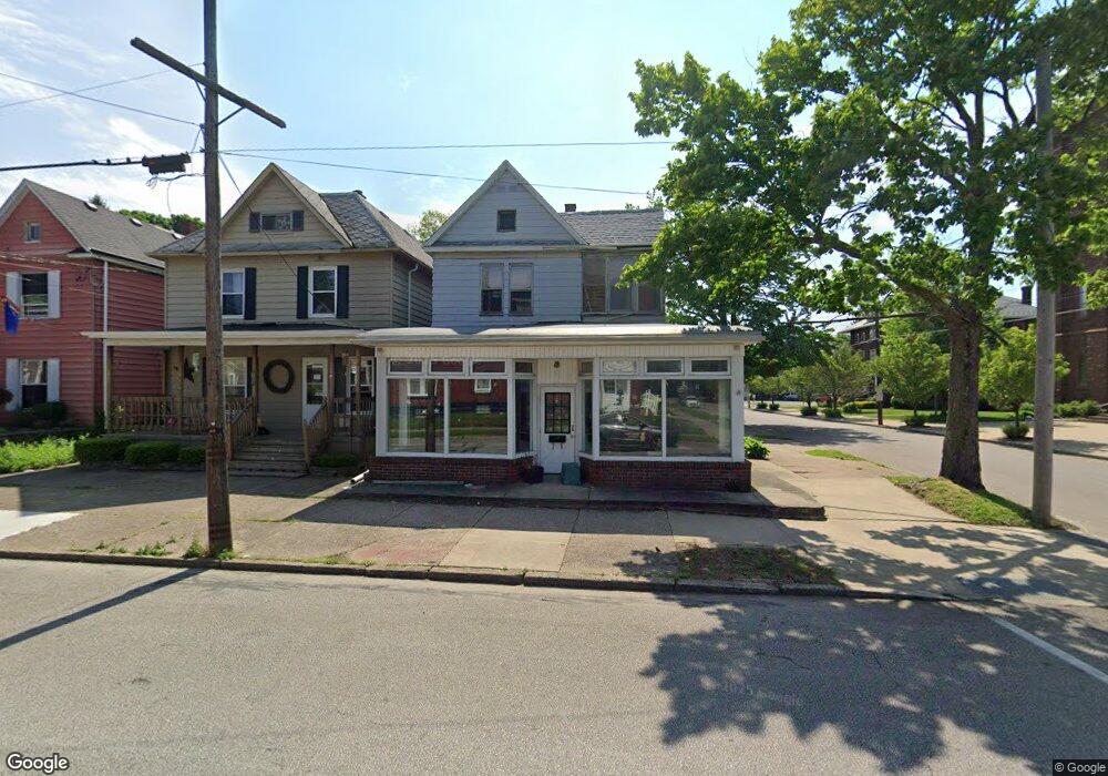
702 Raspberry St Erie, PA 16502
West Bayfront NeighborhoodEstimated Value: $203,146
4
Beds
--
Bath
3,108
Sq Ft
$65/Sq Ft
Est. Value
About This Home
This home is located at 702 Raspberry St, Erie, PA 16502 and is currently estimated at $203,146, approximately $65 per square foot. 702 Raspberry St is a home located in Erie County with nearby schools including Harding Elementary School, Strong Vincent Middle School, and Erie High School.
Ownership History
Date
Name
Owned For
Owner Type
Purchase Details
Closed on
Nov 12, 2021
Sold by
Erie Land Bank
Bought by
West Bayview Llc
Current Estimated Value
Purchase Details
Closed on
May 3, 2021
Sold by
Erie County Taz Claim Bureau
Bought by
Erie Land Bank
Purchase Details
Closed on
Jul 1, 2005
Sold by
Wagoner Dale
Bought by
Biancardi Louis J and Biancardi Carol A
Home Financials for this Owner
Home Financials are based on the most recent Mortgage that was taken out on this home.
Original Mortgage
$95,000
Interest Rate
7%
Mortgage Type
Commercial
Create a Home Valuation Report for This Property
The Home Valuation Report is an in-depth analysis detailing your home's value as well as a comparison with similar homes in the area
Home Values in the Area
Average Home Value in this Area
Purchase History
| Date | Buyer | Sale Price | Title Company |
|---|---|---|---|
| West Bayview Llc | -- | None Available | |
| Erie Land Bank | -- | None Available | |
| Biancardi Louis J | $95,000 | -- |
Source: Public Records
Mortgage History
| Date | Status | Borrower | Loan Amount |
|---|---|---|---|
| Previous Owner | Biancardi Louis J | $95,000 |
Source: Public Records
Tax History Compared to Growth
Tax History
| Year | Tax Paid | Tax Assessment Tax Assessment Total Assessment is a certain percentage of the fair market value that is determined by local assessors to be the total taxable value of land and additions on the property. | Land | Improvement |
|---|---|---|---|---|
| 2025 | $3,143 | $79,500 | $5,100 | $74,400 |
| 2024 | $3,076 | $79,500 | $5,100 | $74,400 |
| 2023 | $2,988 | $79,500 | $5,100 | $74,400 |
| 2022 | $2,926 | $79,500 | $5,100 | $74,400 |
| 2021 | $2,884 | $79,500 | $5,100 | $74,400 |
| 2020 | $2,865 | $79,500 | $5,100 | $74,400 |
| 2019 | $2,715 | $79,500 | $5,100 | $74,400 |
| 2018 | $2,684 | $79,500 | $5,100 | $74,400 |
| 2017 | $2,678 | $79,500 | $5,100 | $74,400 |
| 2016 | $3,006 | $79,500 | $5,100 | $74,400 |
| 2015 | $2,986 | $79,500 | $5,100 | $74,400 |
| 2014 | $2,576 | $79,500 | $5,100 | $74,400 |
Source: Public Records
Map
Nearby Homes
- 1039 W 7th St
- 1062 W 9th St
- 1011 W 6th St
- 622 Cranberry St
- 963 W 7th St
- 1133 W 5th St
- 1146 W 5th St
- 418 Raspberry St
- 430 Cascade St
- 1115 W 10th St
- 1153 W 10th St
- 1124 W 11th St
- 1351 Top Rd
- 1331 W 10th St
- 246 Niagara Point Dr
- 814 W 2nd St
- 608 W 3rd St
- 634 W 2nd St Unit 306
- 228 Cherokee Dr
- 946 W 17th St