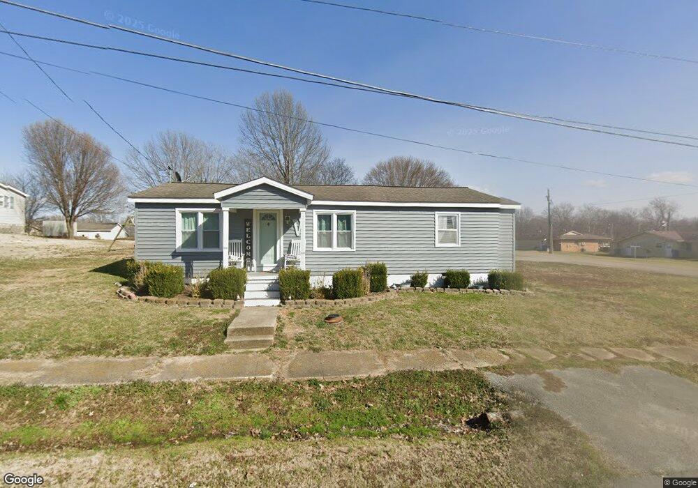
702 Reed St Bloomfield, MO 63825
Estimated Value: $76,400 - $142,000
2
Beds
1
Bath
775
Sq Ft
$135/Sq Ft
Est. Value
About This Home
This home is located at 702 Reed St, Bloomfield, MO 63825 and is currently estimated at $104,350, approximately $134 per square foot. 702 Reed St is a home with nearby schools including Bloomfield Elementary School, Bloomfield Middle School, and Bloomfield High School.
Ownership History
Date
Name
Owned For
Owner Type
Purchase Details
Closed on
May 13, 2016
Sold by
Christian Paul E
Bought by
Shields Celestial F
Current Estimated Value
Home Financials for this Owner
Home Financials are based on the most recent Mortgage that was taken out on this home.
Original Mortgage
$83,460
Outstanding Balance
$66,634
Interest Rate
3.75%
Mortgage Type
FHA
Estimated Equity
$37,716
Create a Home Valuation Report for This Property
The Home Valuation Report is an in-depth analysis detailing your home's value as well as a comparison with similar homes in the area
Purchase History
| Date | Buyer | Sale Price | Title Company |
|---|---|---|---|
| Shields Celestial F | $84,294 | National Title & Escrow Inc |
Source: Public Records
Mortgage History
| Date | Status | Borrower | Loan Amount |
|---|---|---|---|
| Open | Shields Celestial F | $83,460 |
Source: Public Records
Tax History
| Year | Tax Paid | Tax Assessment Tax Assessment Total Assessment is a certain percentage of the fair market value that is determined by local assessors to be the total taxable value of land and additions on the property. | Land | Improvement |
|---|---|---|---|---|
| 2025 | $464 | $9,215 | $0 | $0 |
| 2024 | $5 | $8,626 | $0 | $0 |
| 2023 | $464 | $8,626 | $0 | $0 |
| 2022 | $440 | $8,170 | $0 | $0 |
| 2021 | $439 | $8,170 | $0 | $0 |
| 2020 | $378 | $6,650 | $0 | $0 |
| 2019 | $378 | $8,018 | $0 | $0 |
| 2018 | $313 | $6,650 | $0 | $0 |
| 2016 | $266 | $5,662 | $0 | $0 |
| 2015 | -- | $5,567 | $0 | $0 |
| 2014 | -- | $5,605 | $0 | $0 |
| 2013 | -- | $0 | $0 | $0 |
Source: Public Records
Map
Nearby Homes
- 709 Brown St
- 610 N Spring St
- 202 Winfield St
- 404 Locust St
- 301 Cape Rd
- 301 W Shawnee St
- 17800 County Road 527
- 0 E Hwy Unit MIS26003606
- 21895 County Road 550
- 0 County Road 237
- 15676 State Highway Ad
- 14038 County Road 405
- 23847 Friar Tuck Ct
- 14033 County Road 405
- 13920 County Road 403
- 18049 Thomas Dr
- 13605 Duley Ln
- 0 E Kenton Rd Unit MAR25009938
- 18328 Lake Circle Dr
- 25097 State Highway 25