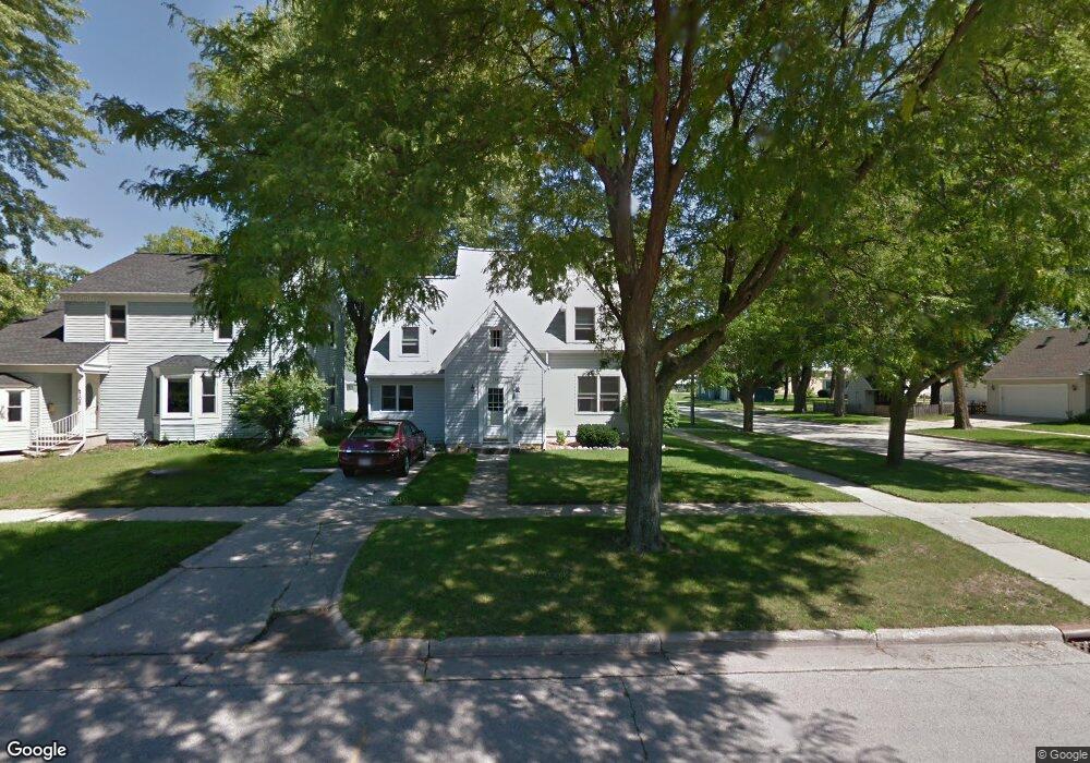
702 Reid St de Pere, WI 54115
Estimated Value: $233,000 - $261,000
4
Beds
2
Baths
1,632
Sq Ft
$151/Sq Ft
Est. Value
About This Home
This home is located at 702 Reid St, de Pere, WI 54115 and is currently estimated at $247,006, approximately $151 per square foot. 702 Reid St is a home located in Brown County with nearby schools including Westwood Elementary School, West De Pere Middle School, and West De Pere High School.
Ownership History
Date
Name
Owned For
Owner Type
Purchase Details
Closed on
Jun 7, 2007
Sold by
Wright Tim E and Wright Mary K
Bought by
Olp Nicholas D and Olp Jessica L
Current Estimated Value
Home Financials for this Owner
Home Financials are based on the most recent Mortgage that was taken out on this home.
Original Mortgage
$99,000
Outstanding Balance
$60,610
Interest Rate
6.2%
Mortgage Type
Purchase Money Mortgage
Estimated Equity
$186,396
Create a Home Valuation Report for This Property
The Home Valuation Report is an in-depth analysis detailing your home's value as well as a comparison with similar homes in the area
Home Values in the Area
Average Home Value in this Area
Purchase History
| Date | Buyer | Sale Price | Title Company |
|---|---|---|---|
| Olp Nicholas D | $132,000 | Evans Title |
Source: Public Records
Mortgage History
| Date | Status | Borrower | Loan Amount |
|---|---|---|---|
| Open | Olp Nicholas D | $99,000 |
Source: Public Records
Tax History
| Year | Tax Paid | Tax Assessment Tax Assessment Total Assessment is a certain percentage of the fair market value that is determined by local assessors to be the total taxable value of land and additions on the property. | Land | Improvement |
|---|---|---|---|---|
| 2024 | $2,282 | $164,000 | $39,000 | $125,000 |
| 2023 | $2,169 | $152,900 | $39,000 | $113,900 |
| 2022 | $2,172 | $136,900 | $39,000 | $97,900 |
| 2021 | $2,249 | $130,400 | $32,500 | $97,900 |
| 2020 | $2,473 | $130,400 | $32,500 | $97,900 |
| 2019 | $2,478 | $130,400 | $32,500 | $97,900 |
| 2018 | $2,364 | $121,900 | $32,500 | $89,400 |
| 2017 | $2,458 | $121,900 | $32,500 | $89,400 |
| 2016 | $2,460 | $121,900 | $32,500 | $89,400 |
| 2015 | $2,646 | $122,000 | $32,600 | $89,400 |
| 2014 | $2,597 | $122,000 | $32,600 | $89,400 |
| 2013 | $2,597 | $122,000 | $32,600 | $89,400 |
Source: Public Records
Map
Nearby Homes
- 555 Main Ave Unit 111
- 555 Main Ave Unit 206
- 555 Main Ave Unit 113
- 412 Fort Howard Ave
- 814 3rd St
- 1109 S 6th St
- 1006 Westwood Dr
- 1129 Suburban Dr
- 3166 Trinity Ct
- 363 Battery Ave
- 389 Willie Mays Cir
- 399 Battery Ave
- 400 Battery Ave
- 1258 Cornflower Ct
- 417 Fulton St
- 3655 Woods Edge Way
- 3504 Aerts Ln
- 1509 S 7th St
- 826 Virginia Dr
- 119 S Ontario St
Your Personal Tour Guide
Ask me questions while you tour the home.