Estimated Value: $212,000 - $330,000
3
Beds
1
Bath
1,648
Sq Ft
$153/Sq Ft
Est. Value
About This Home
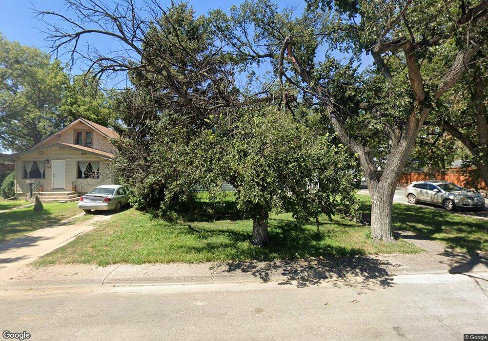
This home is located at 702 S Cedar St, Yuma, CO 80759 and is currently estimated at $251,673, approximately $152 per square foot. 702 S Cedar St is a home located in Yuma County with nearby schools including Morris Elementary School, Yuma Middle School, and Yuma High School.
Ownership History
Date
Name
Owned For
Owner Type
Purchase Details
Closed on
Mar 2, 2020
Sold by
Rogert Robert O
Bought by
Mcdonald Kalen
Current Estimated Value
Home Financials for this Owner
Home Financials are based on the most recent Mortgage that was taken out on this home.
Original Mortgage
$250,000
Outstanding Balance
$193,693
Interest Rate
3.6%
Mortgage Type
Commercial
Estimated Equity
$57,980
Purchase Details
Closed on
Aug 23, 2013
Sold by
Asmus John A and Asmus Amanda L
Bought by
Mcdonald Kalen
Home Financials for this Owner
Home Financials are based on the most recent Mortgage that was taken out on this home.
Original Mortgage
$103,000
Interest Rate
4.53%
Mortgage Type
New Conventional
Purchase Details
Closed on
Sep 3, 2008
Sold by
Lee Wendy D
Bought by
Asmus John A and Asmus Amanda L
Home Financials for this Owner
Home Financials are based on the most recent Mortgage that was taken out on this home.
Original Mortgage
$114,262
Interest Rate
6.6%
Mortgage Type
FHA
Create a Home Valuation Report for This Property
The Home Valuation Report is an in-depth analysis detailing your home's value as well as a comparison with similar homes in the area
Home Values in the Area
Average Home Value in this Area
Purchase History
We collect this data history from publicly available records. To have your information removed, we recommend requesting removal directly through your county’s website.
| Date | Buyer | Sale Price | Title Company |
|---|---|---|---|
| Mcdonald Kalen | -- | None Available | |
| Mcdonald Kalen | $256,000 | None Available | |
| Mcdonald Kalen | $103,000 | None Available | |
| Asmus John A | $115,000 | None Available |
Source: Public Records
Mortgage History
We collect this data history from publicly available records. To have your information removed, we recommend requesting removal directly through your county’s website.
| Date | Status | Borrower | Loan Amount |
|---|---|---|---|
| Open | Mcdonald Kalen | $250,000 | |
| Previous Owner | Mcdonald Kalen | $103,000 | |
| Previous Owner | Asmus John A | $114,262 |
Source: Public Records
Tax History
| Year | Tax Paid | Tax Assessment Tax Assessment Total Assessment is a certain percentage of the fair market value that is determined by local assessors to be the total taxable value of land and additions on the property. | Land | Improvement |
|---|---|---|---|---|
| 2025 | $1,450 | $13,700 | $0 | $0 |
| 2024 | $980 | $9,580 | $0 | $0 |
| 2023 | $980 | $15,759 | $796 | $14,963 |
| 2022 | $966 | $12,180 | $796 | $11,384 |
| 2021 | $1,149 | $12,180 | $796 | $11,384 |
| 2020 | $990 | $10,460 | $796 | $9,664 |
| 2019 | $968 | $10,389 | $796 | $9,593 |
| 2018 | $867 | $8,760 | $0 | $0 |
| 2017 | $871 | $8,760 | $0 | $0 |
| 2016 | $881 | $8,950 | $0 | $0 |
| 2015 | $801 | $8,950 | $0 | $0 |
| 2014 | $801 | $8,080 | $0 | $0 |
| 2013 | $801 | $8,070 | $0 | $0 |
Source: Public Records
Map
Nearby Homes
- 811 S Date St
- 919 S Main St
- 510 S Albany St
- 217 S Ash St
- 310 W 2nd Ave
- 622 S Columbus St
- 303 S Ivy St
- 1402 Cedar Cir Unit 6
- 1524 Cedar Cir
- 1009 W 1st Ave
- 309 N Birch St Unit Lot 4
- 309 N Birch St
- 506 N Columbus St
- TBD Apache Dr Unit Lot 77(1-2-3-4)
- TBD Indian Hills Unit 1-10, 14a,14b, 15-38
- TBD County Road 39 Unit Lot 2 & 3
- 35838 County Road G
- 28500 County Road D
- 3208 County Road 28
- 00 County Rd E
Your Personal Tour Guide
Ask me questions while you tour the home.