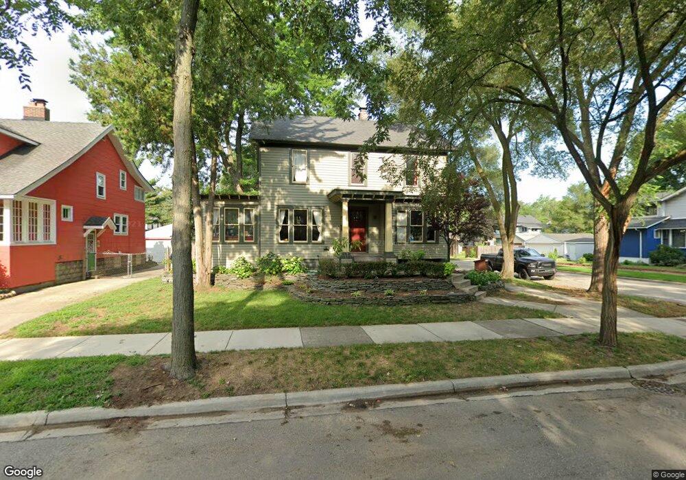
702 S Laurel St Royal Oak, MI 48067
Estimated Value: $399,881 - $482,000
4
Beds
2
Baths
1,528
Sq Ft
$290/Sq Ft
Est. Value
About This Home
This home is located at 702 S Laurel St, Royal Oak, MI 48067 and is currently estimated at $443,470, approximately $290 per square foot. 702 S Laurel St is a home located in Oakland County with nearby schools including Northwood Elementary School, Royal Oak Middle School, and Royal Oak High School.
Ownership History
Date
Name
Owned For
Owner Type
Purchase Details
Closed on
Jul 17, 2003
Sold by
Iris Properties Llc
Bought by
Dangelo James H
Current Estimated Value
Purchase Details
Closed on
May 4, 2001
Sold by
Dangelo H
Bought by
Iris Properties
Purchase Details
Closed on
Feb 14, 1997
Sold by
Drangin Barry V
Bought by
Dangelo Horace Jr
Purchase Details
Closed on
Oct 7, 1996
Sold by
Larson Curt R
Bought by
Drangin Barry V
Home Financials for this Owner
Home Financials are based on the most recent Mortgage that was taken out on this home.
Original Mortgage
$104,000
Interest Rate
8.32%
Create a Home Valuation Report for This Property
The Home Valuation Report is an in-depth analysis detailing your home's value as well as a comparison with similar homes in the area
Home Values in the Area
Average Home Value in this Area
Purchase History
| Date | Buyer | Sale Price | Title Company |
|---|---|---|---|
| Dangelo James H | $240,000 | -- | |
| Iris Properties | -- | -- | |
| Dangelo Horace Jr | -- | -- | |
| Drangin Barry V | $130,000 | -- |
Source: Public Records
Mortgage History
| Date | Status | Borrower | Loan Amount |
|---|---|---|---|
| Previous Owner | Drangin Barry V | $104,000 |
Source: Public Records
Tax History Compared to Growth
Tax History
| Year | Tax Paid | Tax Assessment Tax Assessment Total Assessment is a certain percentage of the fair market value that is determined by local assessors to be the total taxable value of land and additions on the property. | Land | Improvement |
|---|---|---|---|---|
| 2024 | $3,062 | $162,170 | $0 | $0 |
| 2022 | $3,618 | $148,080 | $0 | $0 |
| 2020 | $2,975 | $127,440 | $0 | $0 |
| 2018 | $3,618 | $113,940 | $0 | $0 |
| 2017 | $3,477 | $113,940 | $0 | $0 |
| 2015 | -- | $97,320 | $0 | $0 |
| 2014 | -- | $82,400 | $0 | $0 |
| 2011 | -- | $85,140 | $0 | $0 |
Source: Public Records
Map
Nearby Homes
- 713 S Pleasant St
- 700 S Pleasant St
- 319 W Lincoln Ave Unit 9
- 432 S Washington Ave Unit 905
- 432 S Washington Ave Unit 1605
- 432 S Washington Ave Unit 702
- 432 S Washington Ave
- 432 S Washington Ave Unit 1701
- 432 S Washington Ave Unit 1404
- 902 S Washington Ave
- 334 S Laurel St
- 25835 Woodward Ave Unit 101
- 100 W 5th St Unit 604
- 100 W 5th St Unit 611
- 1021 S Washington Ave Unit G
- 212 S Maple Ave
- 642 W 11 Mile Rd
- 614 S Troy St Unit 109
- 640 W 11 Mile Rd
- 207 W Parent Ave
- 620 S Laurel St
- 703 S Pleasant St
- 709 S Pleasant St
- 718 S Laurel St
- 616 S Laurel St
- 623 S Pleasant St
- 703 S Laurel St
- 707 S Laurel St
- 719 S Pleasant St
- 711 S Laurel St
- 720 S Laurel St
- 617 S Pleasant St
- 623 S Laurel St
- 706 S West St
- 717 S Laurel St
- 617 S Laurel St
- 723 S Pleasant St Unit Bldg-Unit
- 723 S Pleasant St
- 611 S Pleasant St
- 612 S Laurel St