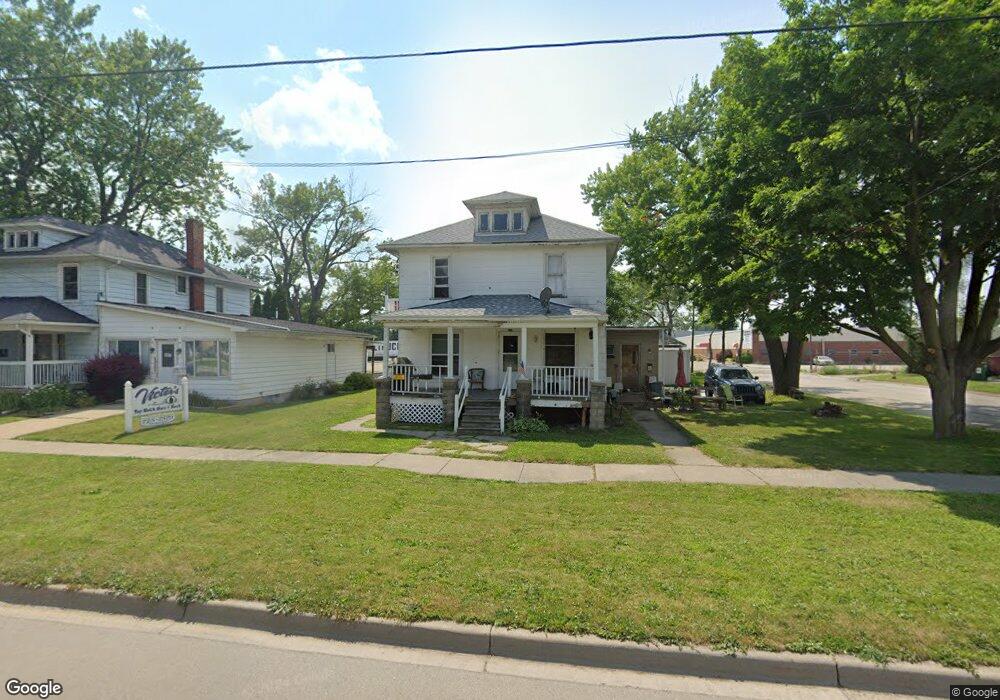
702 S Washington St Owosso, MI 48867
Estimated Value: $112,000 - $147,000
--
Bed
--
Bath
--
Sq Ft
7,405
Sq Ft Lot
About This Home
This home is located at 702 S Washington St, Owosso, MI 48867 and is currently estimated at $125,809. 702 S Washington St is a home located in Shiawassee County with nearby schools including Owosso High School, Salem Lutheran School, and St. Paul School.
Ownership History
Date
Name
Owned For
Owner Type
Purchase Details
Closed on
Dec 18, 2021
Sold by
Heney Andrew J
Bought by
Mindset Plus Action Llc
Current Estimated Value
Purchase Details
Closed on
Sep 30, 2013
Sold by
Heney Alexia N
Bought by
Heney Andrew J
Purchase Details
Closed on
Aug 29, 2003
Sold by
Darts Incorporated
Bought by
Heney Andrew J
Home Financials for this Owner
Home Financials are based on the most recent Mortgage that was taken out on this home.
Original Mortgage
$54,000
Interest Rate
6.44%
Mortgage Type
Purchase Money Mortgage
Create a Home Valuation Report for This Property
The Home Valuation Report is an in-depth analysis detailing your home's value as well as a comparison with similar homes in the area
Home Values in the Area
Average Home Value in this Area
Purchase History
| Date | Buyer | Sale Price | Title Company |
|---|---|---|---|
| Mindset Plus Action Llc | -- | Dec Frank P | |
| Heney Andrew J | -- | -- | |
| Heney Andrew J | $72,000 | Chicago Title |
Source: Public Records
Mortgage History
| Date | Status | Borrower | Loan Amount |
|---|---|---|---|
| Previous Owner | Heney Andrew J | $54,000 |
Source: Public Records
Tax History Compared to Growth
Tax History
| Year | Tax Paid | Tax Assessment Tax Assessment Total Assessment is a certain percentage of the fair market value that is determined by local assessors to be the total taxable value of land and additions on the property. | Land | Improvement |
|---|---|---|---|---|
| 2025 | $2,749 | $59,800 | $0 | $0 |
| 2024 | $2,749 | $55,200 | $0 | $0 |
| 2023 | $1,107 | $49,400 | $0 | $0 |
| 2022 | $2,710 | $44,600 | $0 | $0 |
| 2021 | $2,613 | $41,900 | $0 | $0 |
| 2020 | $2,669 | $39,900 | $0 | $0 |
| 2019 | $2,292 | $35,400 | $0 | $0 |
| 2018 | $1,884 | $35,100 | $0 | $0 |
| 2017 | $1,884 | $34,600 | $0 | $0 |
| 2016 | $1,884 | $34,600 | $0 | $0 |
| 2015 | $1,884 | $34,000 | $0 | $0 |
| 2014 | -- | $33,700 | $0 | $0 |
Source: Public Records
Map
Nearby Homes
- 209 W Stewart St
- 942 Division St
- 314 Michigan Ave
- 428 Cass St
- 809 Grand Ave
- 609 Broadway Ave
- 6 E Main St
- 606 Ryan St
- 619 Huron St
- 5 E Main St
- 827 Lingle Ave
- V/L W South - Lot#11 St
- V/L W South (1 6) Acres St
- 915 Corunna Ave
- 408 E Exchange St
- 211 N Ball St
- 540 E Comstock St
- 1046 S Pearce St
- 432 Oakwood Ave
- 808 Corunna Ave
- 714 S Washington St
- 616 S Washington St
- 608 S Washington St
- 715 S Washington St
- 606 S Washington St
- 708 S Park St
- 802 S Washington St
- 702 S Park St
- 115 W Stewart St
- 604 S Washington St
- 121 W Stewart St
- 810 S Washington St
- 802 S Ball St
- 800 S Park St
- 817 S Washington St
- 814 S Washington St
- 802 S Park St
- 810 S Ball St
- 951 S Park St Unit 955, 951, & 947 Park
- Vac S Park St