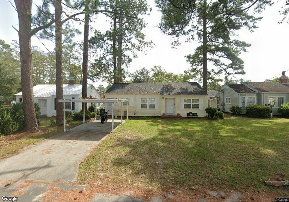
702 Scruggs St Waycross, GA 31501
Estimated Value: $95,000 - $151,000
2
Beds
2
Baths
1,300
Sq Ft
$100/Sq Ft
Est. Value
About This Home
This home is located at 702 Scruggs St, Waycross, GA 31501 and is currently estimated at $130,450, approximately $100 per square foot. 702 Scruggs St is a home located in Ware County with nearby schools including Williams Heights Elementary School, Waycross Middle School, and Ware County High School.
Ownership History
Date
Name
Owned For
Owner Type
Purchase Details
Closed on
Jun 30, 2017
Bought by
Hilton Ruth
Current Estimated Value
Purchase Details
Closed on
Aug 3, 2010
Sold by
Tippins Derek and Tippins Virginia
Bought by
The Patterson Bank
Purchase Details
Closed on
Dec 13, 2007
Sold by
Palmer Joyce S Lambert
Bought by
Tippins Derek
Purchase Details
Closed on
Oct 22, 2007
Sold by
Coliey Wanda S
Bought by
Palmer Joyce S and Palmer Lamberth
Purchase Details
Closed on
Feb 1, 1990
Bought by
Colley Wanda Sowder
Create a Home Valuation Report for This Property
The Home Valuation Report is an in-depth analysis detailing your home's value as well as a comparison with similar homes in the area
Home Values in the Area
Average Home Value in this Area
Purchase History
| Date | Buyer | Sale Price | Title Company |
|---|---|---|---|
| Hilton Ruth | $39,000 | -- | |
| The Patterson Bank | -- | -- | |
| Tippins Derek | $54,000 | -- | |
| Palmer Joyce S | -- | -- | |
| Colley Wanda Sowder | -- | -- |
Source: Public Records
Mortgage History
| Date | Status | Borrower | Loan Amount |
|---|---|---|---|
| Closed | Tippins Derek | $0 |
Source: Public Records
Tax History Compared to Growth
Tax History
| Year | Tax Paid | Tax Assessment Tax Assessment Total Assessment is a certain percentage of the fair market value that is determined by local assessors to be the total taxable value of land and additions on the property. | Land | Improvement |
|---|---|---|---|---|
| 2024 | $1,647 | $41,515 | $2,080 | $39,435 |
| 2023 | $1,432 | $30,999 | $1,703 | $29,296 |
| 2022 | $1,235 | $30,999 | $1,703 | $29,296 |
| 2021 | $1,092 | $25,258 | $1,703 | $23,555 |
| 2020 | $956 | $21,945 | $1,703 | $20,242 |
| 2019 | $940 | $21,255 | $1,703 | $19,552 |
| 2018 | $696 | $20,565 | $1,703 | $18,862 |
| 2017 | $897 | $20,565 | $1,703 | $18,862 |
| 2016 | $897 | $20,565 | $1,703 | $18,862 |
| 2015 | $903 | $20,564 | $1,703 | $18,862 |
| 2014 | $902 | $20,564 | $1,703 | $18,862 |
| 2013 | -- | $18,558 | $1,702 | $16,855 |
Source: Public Records
Map
Nearby Homes
- 807 College St
- 506 Magnolia Dr
- 511 Richmond Ave
- 1101 Cherokee Dr
- 415 Dewey St
- 808 Satilla Blvd
- 502 Dewey St
- 1405 Grove Ave
- 713 Magnolia Dr
- 707 Euclid Ave
- 924 Highsmith St
- 805 Baltimore Ave
- 0 Goodwin St
- 402 Preston St
- .22 Alice St
- 1701 Satilla Blvd
- 406 Preston St
- 7059 Thornbird Rd
- 706 Cherokee Cir
- 1504 Habersham Dr
- 706 Scruggs St
- 700 Scruggs St
- 400 Forrest Ave
- 402 Forrest Ave
- 400 Forest Ave
- 401 Forrest Ave
- 403 Forrest Ave
- 317 Forrest
- 317 Forest Ave
- 510 E Oneida St
- 501 Forrest Ave
- 804 Scruggs St
- 802 College St
- 802 College St Unit 2
- 501 Ava St
- 805 Hill St
- 804 Hill St
- 801 Magnolia St
- 807 Scruggs St
- 806 Scruggs St