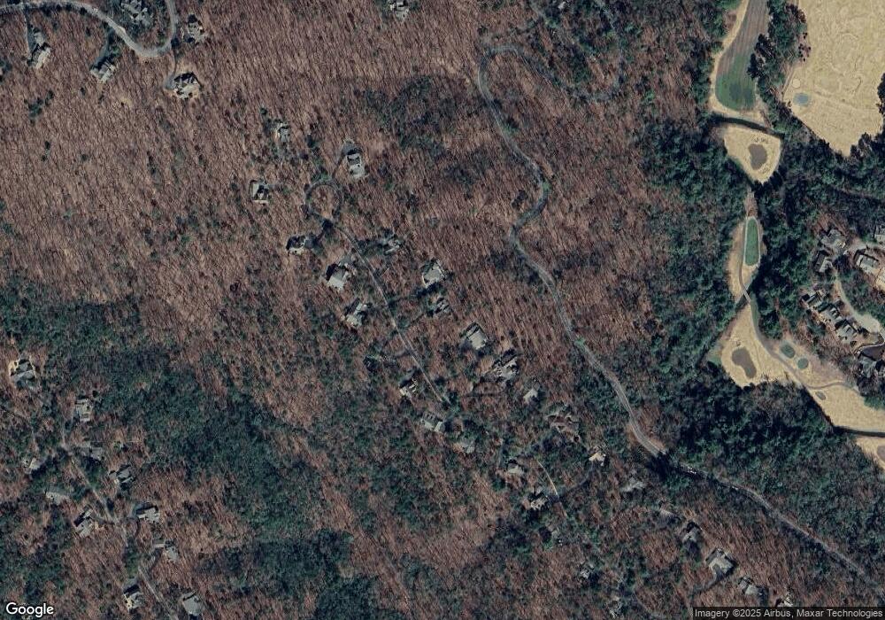
702 Shetland Trace Jasper, GA 30143
Big Canoe NeighborhoodEstimated Value: $420,000 - $586,000
--
Bed
--
Bath
2,121
Sq Ft
$233/Sq Ft
Est. Value
About This Home
This home is located at 702 Shetland Trace, Jasper, GA 30143 and is currently estimated at $494,646, approximately $233 per square foot. 702 Shetland Trace is a home with nearby schools including Tate Elementary School, Pickens County Middle School, and Pickens County High School.
Ownership History
Date
Name
Owned For
Owner Type
Purchase Details
Closed on
Jan 27, 2017
Sold by
Simmons William J
Bought by
Simmons Gail W
Current Estimated Value
Purchase Details
Closed on
May 13, 1988
Sold by
Schmidt Paul and Mccain David
Bought by
Simmons William J and Simmons Gail W
Purchase Details
Closed on
Oct 22, 1986
Sold by
Stevens Shelton
Bought by
Schmidt Paul and Mccain David
Purchase Details
Closed on
Oct 3, 1986
Sold by
Visco Ernest J and Visco Joanne
Bought by
Stevens Shelton
Purchase Details
Closed on
Sep 15, 1976
Sold by
Big Canoe
Bought by
Visco Ernest J and Visco Joanne
Create a Home Valuation Report for This Property
The Home Valuation Report is an in-depth analysis detailing your home's value as well as a comparison with similar homes in the area
Home Values in the Area
Average Home Value in this Area
Purchase History
| Date | Buyer | Sale Price | Title Company |
|---|---|---|---|
| Simmons Gail W | -- | -- | |
| Simmons William J | -- | -- | |
| Schmidt Paul | $12,000 | -- | |
| Stevens Shelton | $87,000 | -- | |
| Visco Ernest J | $18,000 | -- |
Source: Public Records
Tax History Compared to Growth
Tax History
| Year | Tax Paid | Tax Assessment Tax Assessment Total Assessment is a certain percentage of the fair market value that is determined by local assessors to be the total taxable value of land and additions on the property. | Land | Improvement |
|---|---|---|---|---|
| 2024 | $2,005 | $106,319 | $30,000 | $76,319 |
| 2023 | $2,061 | $106,319 | $30,000 | $76,319 |
| 2022 | $2,061 | $106,319 | $30,000 | $76,319 |
| 2021 | $2,208 | $106,319 | $30,000 | $76,319 |
| 2020 | $2,274 | $106,319 | $30,000 | $76,319 |
| 2019 | $2,326 | $106,319 | $30,000 | $76,319 |
| 2018 | $2,348 | $106,319 | $30,000 | $76,319 |
| 2017 | $2,386 | $106,319 | $30,000 | $76,319 |
| 2016 | $2,425 | $106,319 | $30,000 | $76,319 |
| 2015 | $2,363 | $106,319 | $30,000 | $76,319 |
| 2014 | $2,363 | $106,319 | $30,000 | $76,319 |
| 2013 | -- | $106,318 | $30,000 | $76,318 |
Source: Public Records
Map
Nearby Homes
- 374 Shetland Trace
- 43 Morgan Walk
- 8261 Cox Mountain Dr
- 8242 Cox Mountain Dr
- 1363 Cox Mountain Dr
- 24 Kane Dr
- 8259 Cox Mountain Dr
- 1944 Wilderness Parkway 562
- 807 Choctaw Pass
- 817 Choctaw Pass
- 101 Twin Creeks Dr
- 8271 Cox Mountain Ln
- 212 Chestnut Rise
- 2559 Wilderness Pkwy
- 178 Sconti Ridge Unit 434A
- 34 Sconti Ridge Unit 405
- 170 Sconti Ridge Unit 432
- 170 Sconti Ridge Unit 431
- 116 Sconti Ridge Unit 419B
- 2658 Sconti View Dr
- 728 Shetland Trace
- 658 Shetland Trace
- 671 Shetland Trace
- 642 Shetland Trace Unit 62
- 642 Shetland Trace
- 635 Shetland Trace Unit 9128
- 635 Shetland Trace
- 685 Shetland Trace
- 615 Shetland Trace
- 709 Shetland Trace Unit 9131
- 729 Shetland Trace
- 608 Shetland Trace
- 623 Shetland Trace
- 741 Shetland Trace
- 9133 Shetland Trace
- 560 Shetland Trace
- 753 Shetland Trace Unit 9133
- 795 Shetland Trace
- 753 Shetland Trace
- 595 Shetland Trace
