702 W 1725 N Logan, UT 84321
Bridger NeighborhoodEstimated Value: $353,000
--
Bed
--
Bath
1,736
Sq Ft
$203/Sq Ft
Est. Value
About This Home
This home is located at 702 W 1725 N, Logan, UT 84321 and is currently estimated at $353,000, approximately $203 per square foot. 702 W 1725 N is a home located in Cache County with nearby schools including Bridger School, Mount Logan Middle School, and Logan High School.
Ownership History
Date
Name
Owned For
Owner Type
Purchase Details
Closed on
May 4, 2018
Sold by
Helm Dave
Bought by
D&E Rogue Properties Llc
Current Estimated Value
Purchase Details
Closed on
Apr 16, 2018
Sold by
Pvc Inc
Bought by
Helm Dave
Purchase Details
Closed on
Feb 25, 2016
Sold by
Laurelwood Properties Llc
Bought by
P V C Inc
Home Financials for this Owner
Home Financials are based on the most recent Mortgage that was taken out on this home.
Original Mortgage
$615,000
Interest Rate
3.79%
Mortgage Type
Commercial
Purchase Details
Closed on
Jun 22, 2005
Sold by
Logan Industrial Business Park Llc
Bought by
Laurelwood Properties Llc
Home Financials for this Owner
Home Financials are based on the most recent Mortgage that was taken out on this home.
Original Mortgage
$200,000
Interest Rate
5.72%
Mortgage Type
Seller Take Back
Create a Home Valuation Report for This Property
The Home Valuation Report is an in-depth analysis detailing your home's value as well as a comparison with similar homes in the area
Home Values in the Area
Average Home Value in this Area
Purchase History
| Date | Buyer | Sale Price | Title Company |
|---|---|---|---|
| D&E Rogue Properties Llc | -- | None Available | |
| Helm Dave | -- | Hickman Land Title | |
| P V C Inc | -- | Heritage Title | |
| Laurelwood Properties Llc | -- | Cache Title Company |
Source: Public Records
Mortgage History
| Date | Status | Borrower | Loan Amount |
|---|---|---|---|
| Previous Owner | P V C Inc | $615,000 | |
| Previous Owner | Laurelwood Properties Llc | $200,000 |
Source: Public Records
Tax History Compared to Growth
Tax History
| Year | Tax Paid | Tax Assessment Tax Assessment Total Assessment is a certain percentage of the fair market value that is determined by local assessors to be the total taxable value of land and additions on the property. | Land | Improvement |
|---|---|---|---|---|
| 2025 | $1,724 | $222,911 | $92,312 | $130,599 |
| 2024 | $1,142 | $143,084 | $25,484 | $117,600 |
| 2023 | $1,188 | $141,870 | $24,270 | $117,600 |
| 2022 | $1,228 | $136,930 | $19,330 | $117,600 |
| 2021 | $1,386 | $131,330 | $19,330 | $112,000 |
| 2020 | $1,540 | $131,330 | $19,330 | $112,000 |
| 2019 | $1,414 | $115,330 | $19,330 | $96,000 |
| 2018 | $1,548 | $115,330 | $19,330 | $96,000 |
| 2017 | $1,604 | $114,815 | $0 | $0 |
| 2016 | $1,663 | $114,815 | $0 | $0 |
| 2015 | $1,575 | $108,670 | $0 | $0 |
| 2014 | $1,424 | $108,670 | $0 | $0 |
| 2013 | $1,405 | $108,670 | $0 | $0 |
Source: Public Records
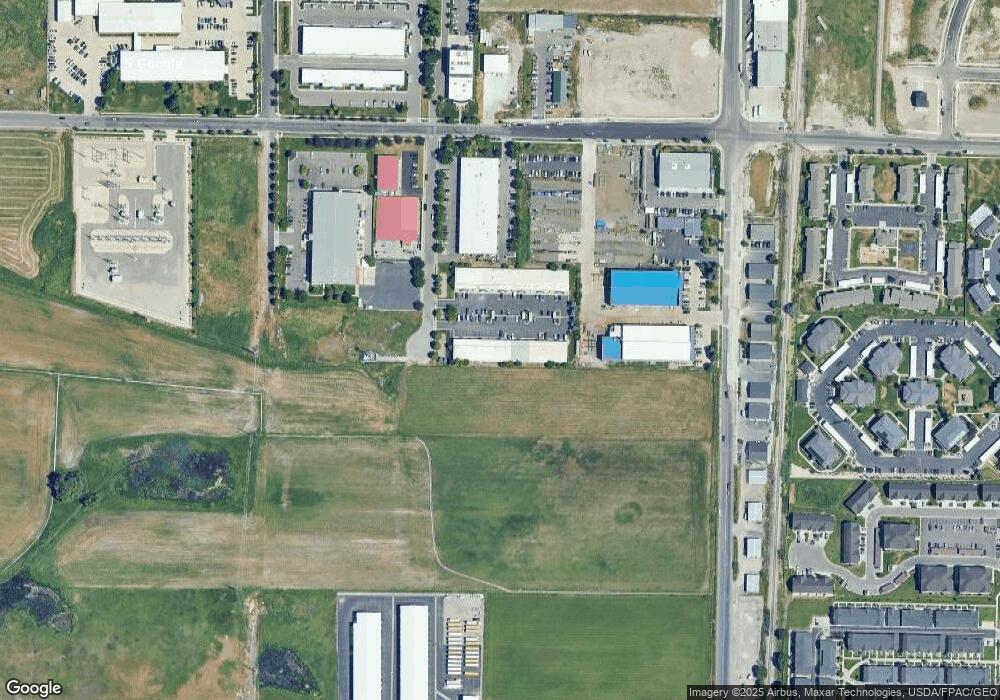
Map
Nearby Homes
- 1584 N 565 W Unit 104
- 1565 N 565 W Unit 101
- 1762 N 460 W Unit 103-10
- 1492 N 565 W Unit 101
- 1926 Lavender Loop Unit 6
- 2 Somerset Place
- 539 W 1465 N Unit 17-102
- 514 W 1490 N Unit 102
- 1583 N 400 W Unit 103
- 48 Kensington Place
- 259 W 1800 N
- 495 W 1330 N
- 85 Hampton Place
- 230 W 1550 N Unit 102
- 200 N 600 W
- Park Avenue 1600 Plan at Park Avenue 1600
- 490 W 1950 N Unit 27
- 2200 N 220 W
- 1355 N 220 W
- 2189 N 200 W
- 696 W 1725 N
- 690 W 1725 N
- 714 W 1725 N Unit 21
- 714 W 1725 N
- 682 W 1725 N
- 674 W 1725 N
- 728 W 1725 N Unit 728
- 728 W 1725 N
- 728 W 1725 N Unit 24
- 668 W 1725 N
- 668 W 1725 N Unit 15
- 660 W 1725 N
- 660 W 1725 N Unit 13
- 701 W 1725 N Unit 5
- 701 W 1725 N
- 701 W 1725 N Unit 701
- 695 W 1725 N Unit 20
- 695 W 1725 N
- 709 W 1725 N
- 709 W 1725 N Unit 4